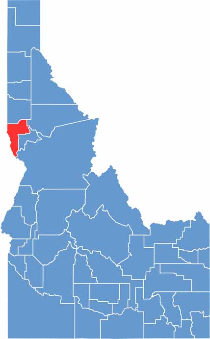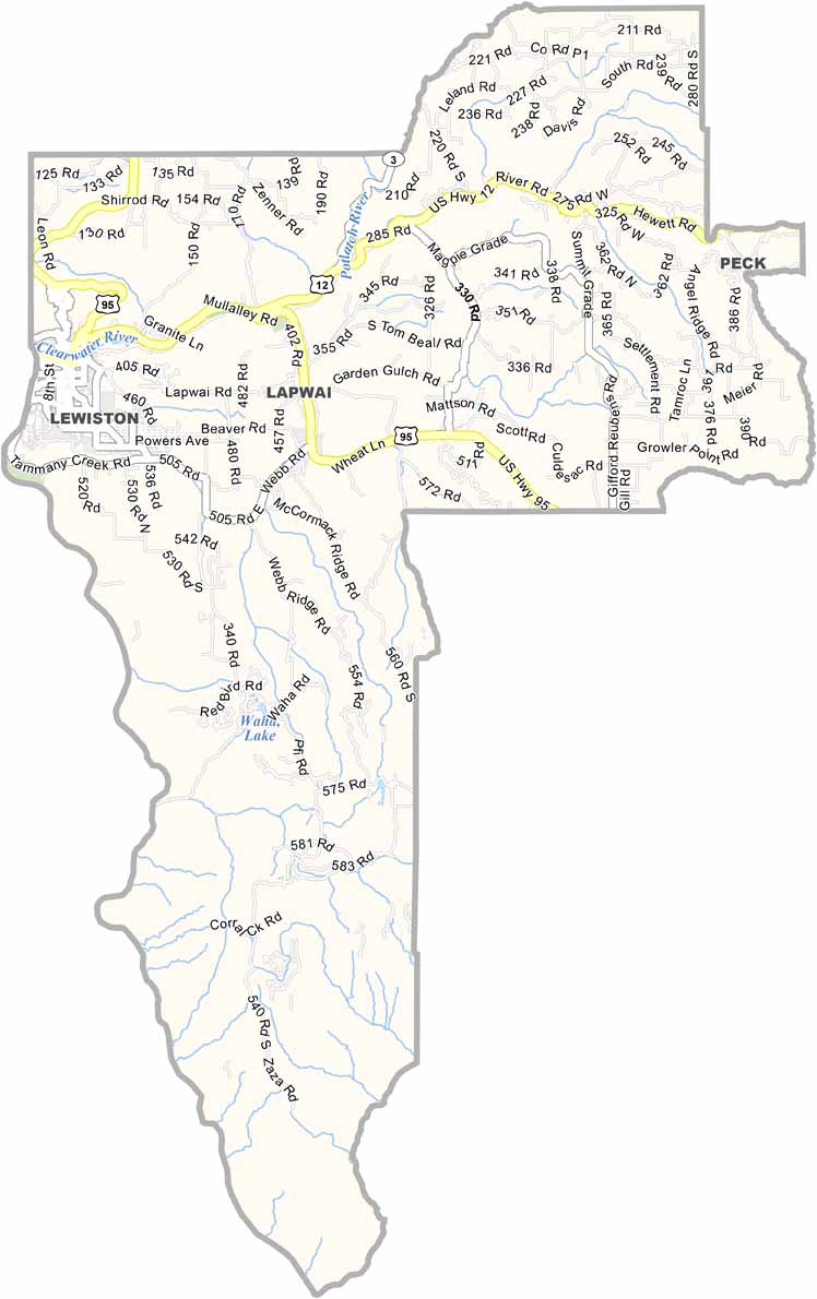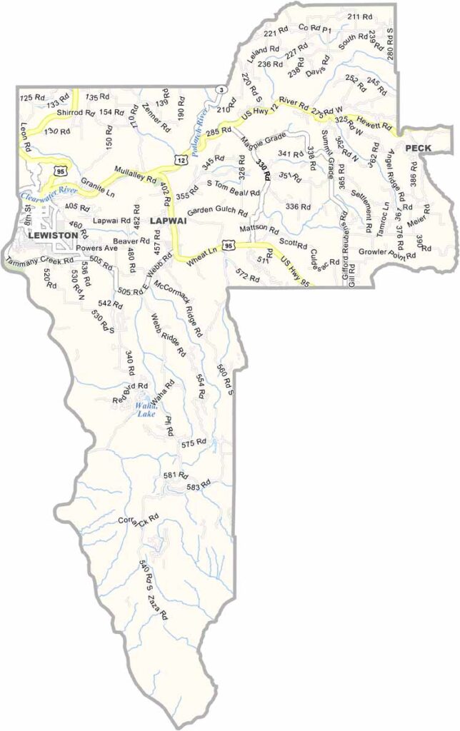
Nez Perce County is tucked into northwest Idaho along the Washington state border. Lewiston serves as the county seat and sits right where the Snake and Clearwater rivers meet. It’s also Idaho’s only seaport. Weird, right?
The county is part of the Palouse region, where rolling hills are covered with wheat fields that seem to stretch forever. The soil is incredibly fertile, and the lower elevation brings milder winters and a longer growing season, making the area especially well suited for agriculture.
Nez Perce County has a diverse economy built around farming, manufacturing, and a growing technology sector. There are plenty of ways to enjoy the outdoors, too, with fishing, hiking, and river recreation all popular around the area. The county takes its name from the Nez Perce people, whose history and cultural heritage remain an important part of the region.