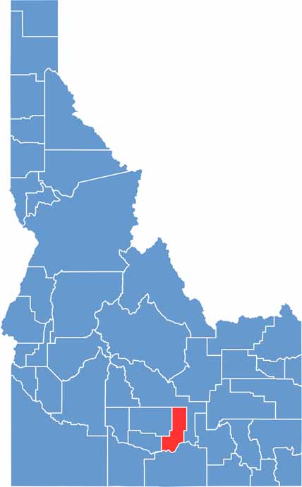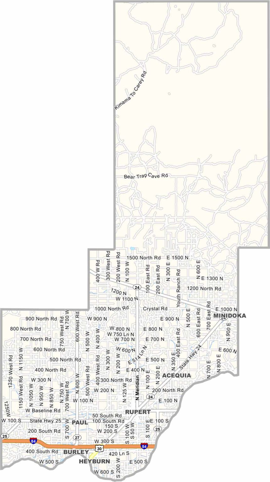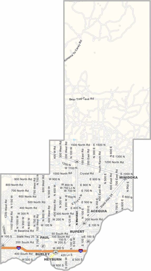
Minidoka County is in south-central Idaho, right in the middle of the Snake River Plain. Rupert serves as the county seat and is a small farming community. The county’s name comes from a Dakota Sioux word associated with a “well spring” or “fountain.”
The land here is flat and dry, so irrigation is what makes large-scale farming possible. Without it, agriculture would be much tougher in this part of Idaho. Sugar beets and potatoes are major crops, and during harvest, you’ll see some seriously big piles of beets around the county.
Dust storms aren’t unusual, and the Snake River forms part of the southern boundary. Minidoka County also has an important connection to World War II history. Japanese Americans were incarcerated at the Minidoka War Relocation Center, which is now a national historic site and a somber reminder of a difficult chapter in American history.