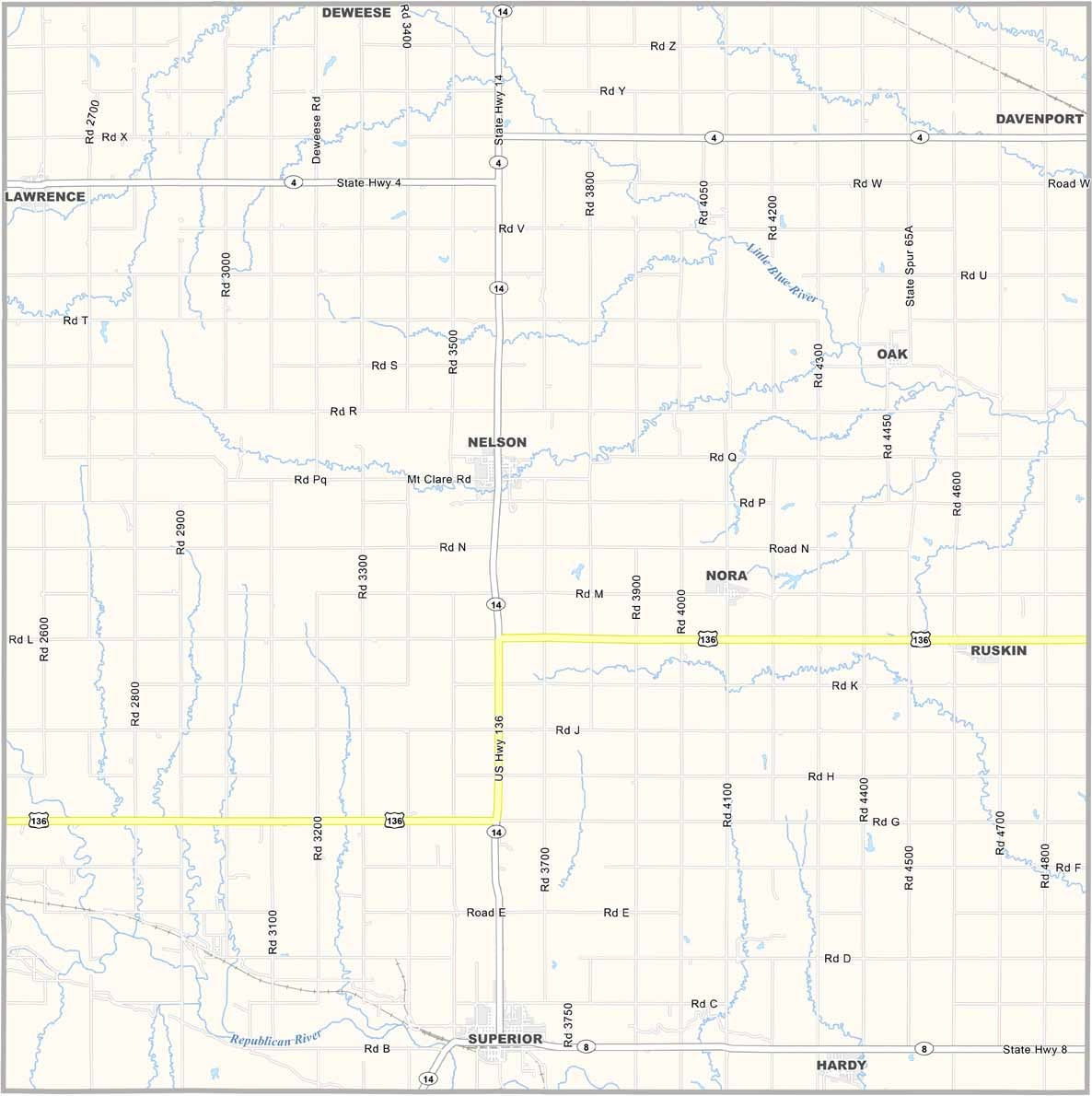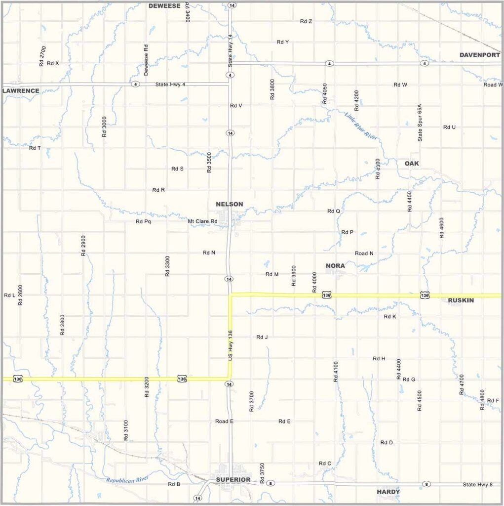
Nuckolls County Map, Nebraska

Nuckolls County, Nebraska

Nuckolls County is located in south-central Nebraska, right along the Kansas border. Superior is the largest town, while Nelson serves as the county seat.

Agriculture is the backbone of the local economy, with corn, wheat, and cattle being the most common. The landscape combines flat river valleys with rolling hills. The Republican River flows through the county, creating pleasant spots for fishing and camping.

It’s beautiful in that quiet prairie kind of way. The population has been declining for years, with many young people leaving for the cities. But those who stay have a deep connection to the land, which has been part of their families for generations.
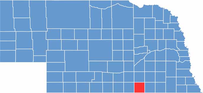

Nuckolls County location map of Nebraska
CategoryDetails
County NameNuckolls County
County SeatNelson
EtymologyNamed after Stephen Friel Nuckolls, a pioneer settler and entrepreneur
Cities, Towns, and CommunitiesNelson, Superior, Ruskin, Hardy, Lawrence, Nora
Interstates and HighwaysUS 136, NE 14, NE 8
FIPS Code31-129
Total Area (Land and Water)576 square miles (Land: 575 sq mi, Water: 1 sq mi)
Adjacent Counties (and Direction)Clay County (North), Fillmore County (Northeast), Thayer County (East), Republic County, Kansas (Southeast), Jewell County, Kansas (Southwest), Webster County (West)
Time ZoneCentral Time Zone (CT)
StateNebraska
Coordinates40.1787° N, 98.0533° W
Major LandmarksRock Creek Station State Historical Park, Lovewell State Park (nearby in Kansas), Superior Estates Winery
PopulationApproximately 4,100
Scroll to Top