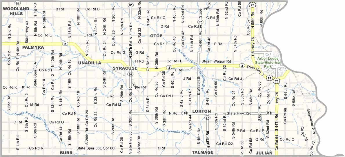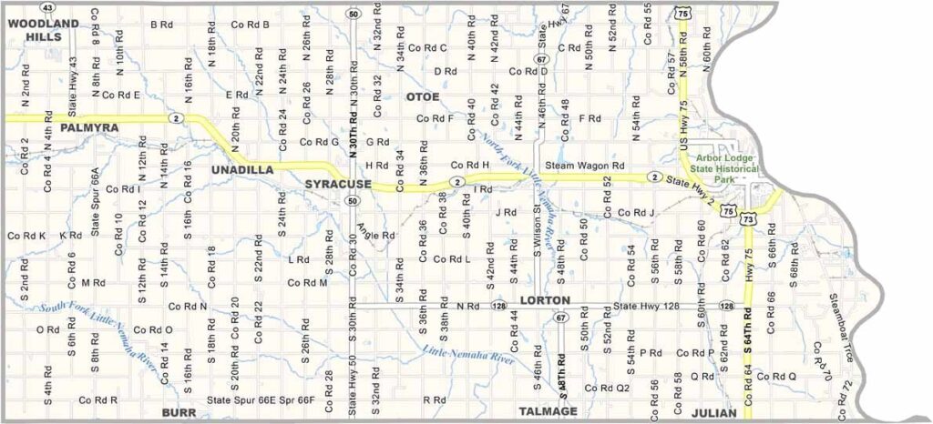
Otoe County Map, Nebraska

Otoe County, Nebraska

Otoe County is located in the southeastern corner of Nebraska, right along the Iowa border. Nebraska City serves as the county seat and sits along the Missouri River. The area is well known for its apple orchards.

Believe it or not, Arbor Day began here. The county is a mix of farmland and small communities, with corn and soybeans serving as the main crops. Cattle farming is also part of the local economy.

The landscape offers plenty of variety, from river bluffs and rolling hills to flat prairies. Residents take pride in the county’s history, which dates back to before Nebraska became a state. In the fall, the colors along the Missouri River are especially spectacular.
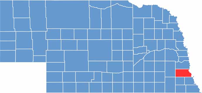

Otoe County location map of Nebraska
CategoryDetails
County NameOtoe County
County SeatNebraska City
EtymologyNamed after the Otoe Native American tribe
Cities, Towns, and CommunitiesNebraska City, Syracuse, Palmyra, Talmage, Unadilla, Otoe, Burr, Lorton
Interstates and HighwaysUS 75, NE 2, NE 67, NE 128
FIPS Code31-131
Total Area (Land and Water)619 square miles (Land: 616 sq mi, Water: 3 sq mi)
Adjacent Counties (and Direction)Cass County (North), Fremont County, Iowa (Northeast), Atchison County, Missouri (East), Nemaha County (Southeast), Johnson County (South), Gage County (Southwest), Lancaster County (West)
Time ZoneCentral Time Zone (CT)
StateNebraska
Coordinates40.6576° N, 95.8562° W
Major LandmarksArbor Lodge State Historical Park, Lewis and Clark Visitor Center, Lied Lodge and Conference Center
PopulationApproximately 16,000
Scroll to Top