
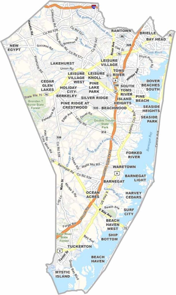
Ocean County stretches along the central Jersey Shore, a playground for beach lovers and nature enthusiasts alike. It's home to some of Jersey's most famous summer spots, including Long Beach Island (LBI), an 18-mile-long barrier island packed with beaches, seafood joints, and surf shops.
There's more to Ocean County than the shore, though. Inland, you'll find the Pine Barrens, a vast forest with winding rivers perfect for kayaking. Toms River, the county seat, balances small-town charm with modern amenities.
Visitors love the Barnegat Lighthouse, standing tall since 1859. The county has its quirks too. Ever heard of the Jersey Devil? Legend says it roams these parts. From bustling boardwalks to quiet nature trails, Ocean County has range.
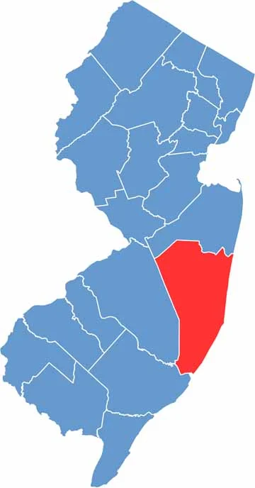
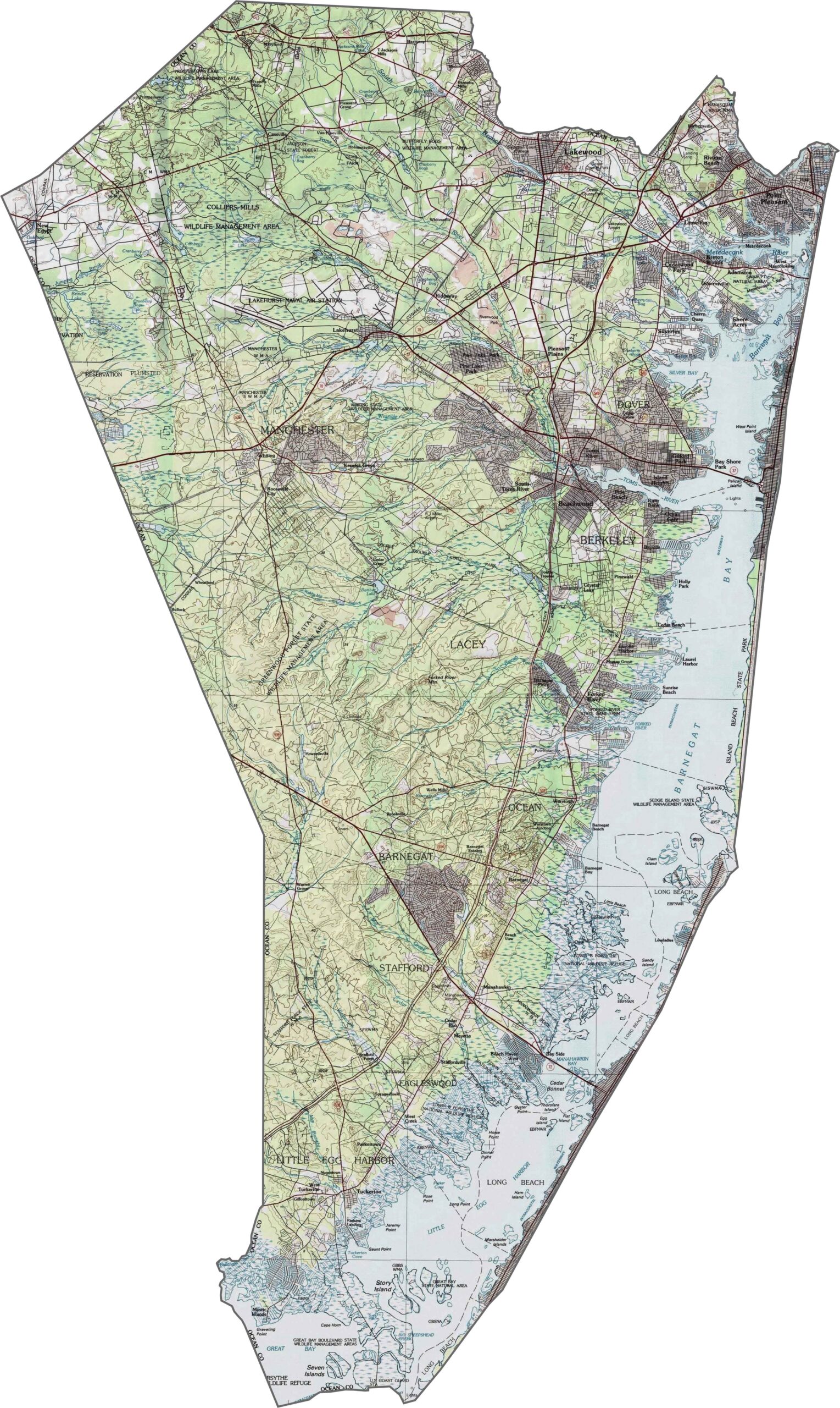
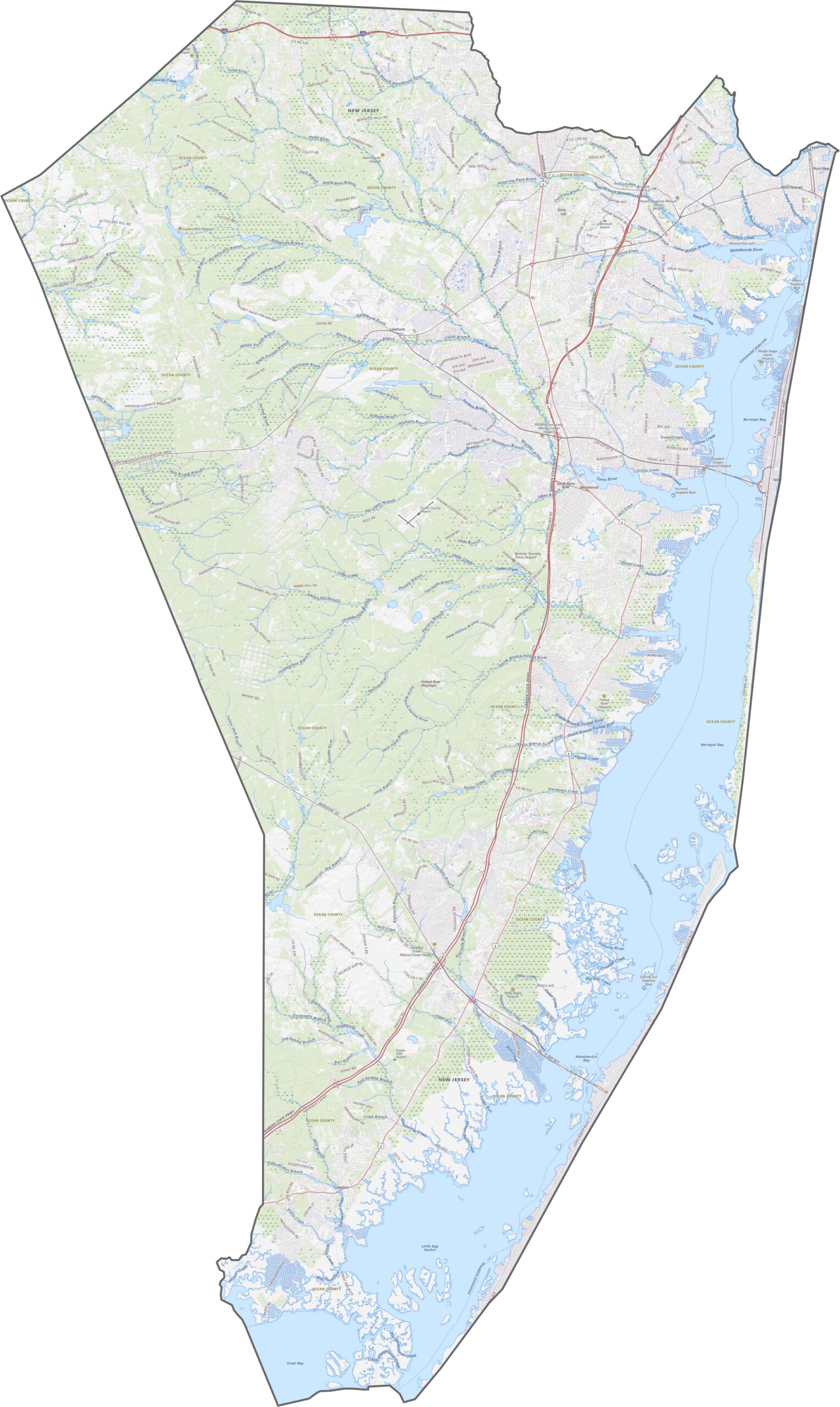
Ocean County is as flat as a pancake, and that's not a bad thing. It's a coastal plain of marshes, pine forests, and sandy soil, with hardly a ridge in sight. The land simply stretches quietly out to the sea.
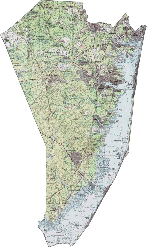
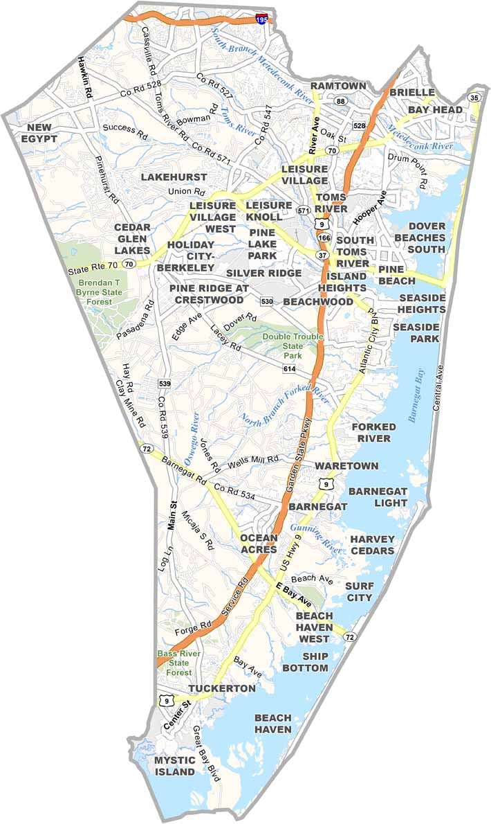
The Garden State Parkway carves down the middle without ever taking a break, with Route 9 running right alongside. It's older and slower but just as busy. Although there's not much interstate here, Route 70 and Route 37 do plenty of work inland. Zoom in for a better view of Ocean County's road network below.
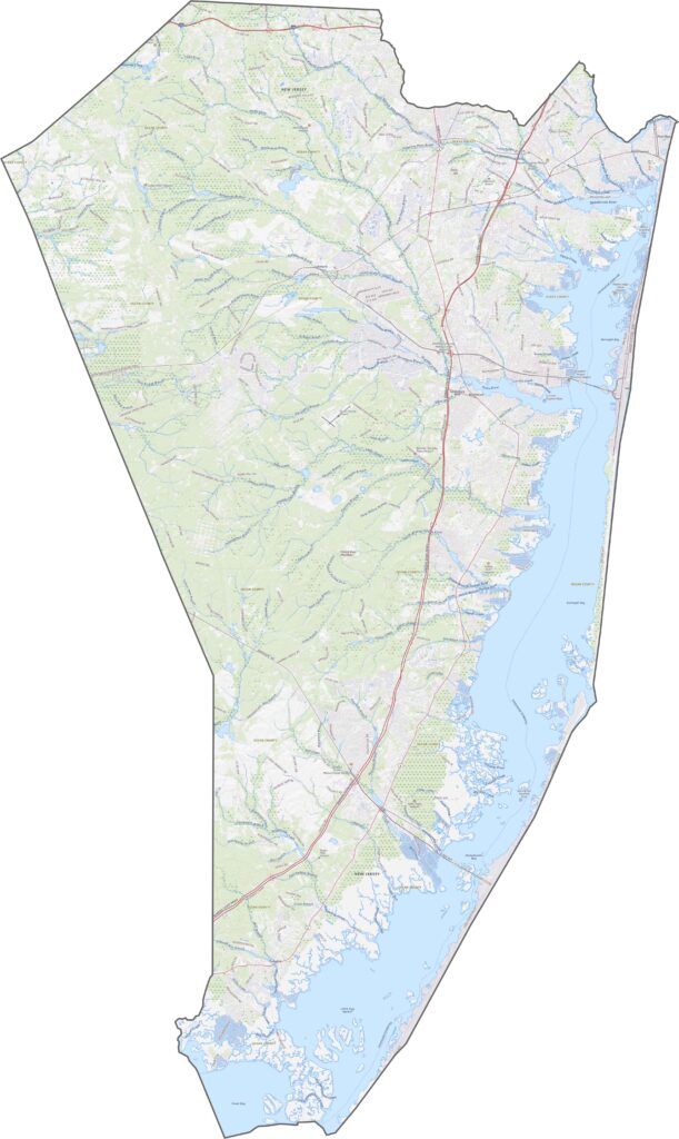
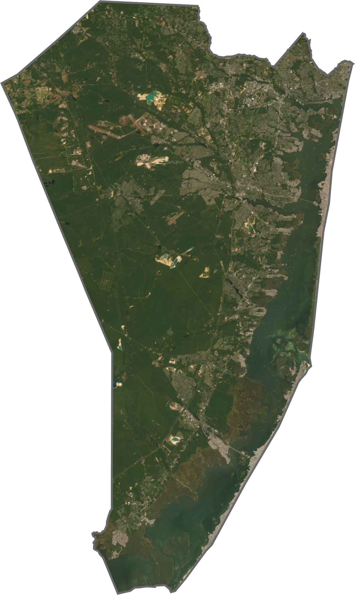
Ocean County is a mix of blue water, dark forest, and thin strips of development. The Pinelands cover a huge chunk of the county, dark and unbothered, while colorful beach towns pop up one after another along the shore.
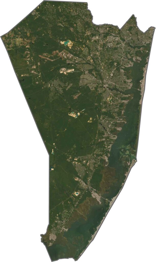
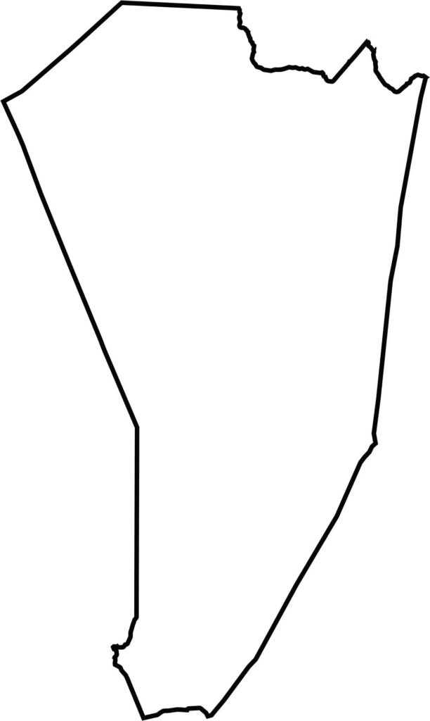
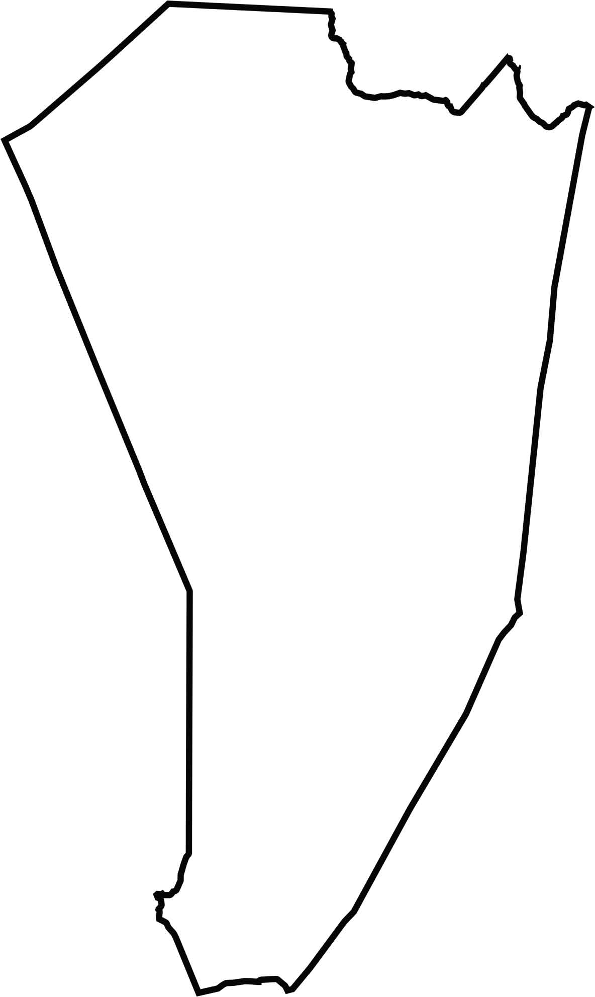
Long and narrow, Ocean County stretches along the Atlantic as if trying to catch the whole coast. Bays and barrier islands break up the eastern edge. The county doesn't touch another state, but it always feels like it's touching water.






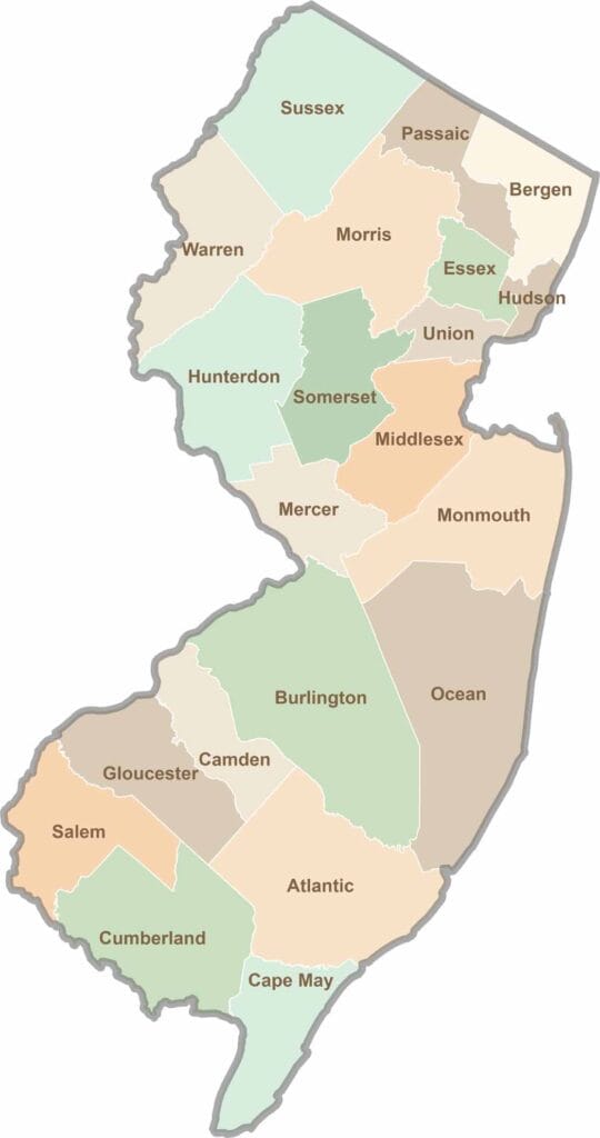
New Jersey packs a lot into its 21 counties, from beach towns and Pine Barrens forests to rolling farmland. Trace colonial history in Hunterdon County or stroll the boardwalk in Ocean County. There's far more here than meets the Turnpike.