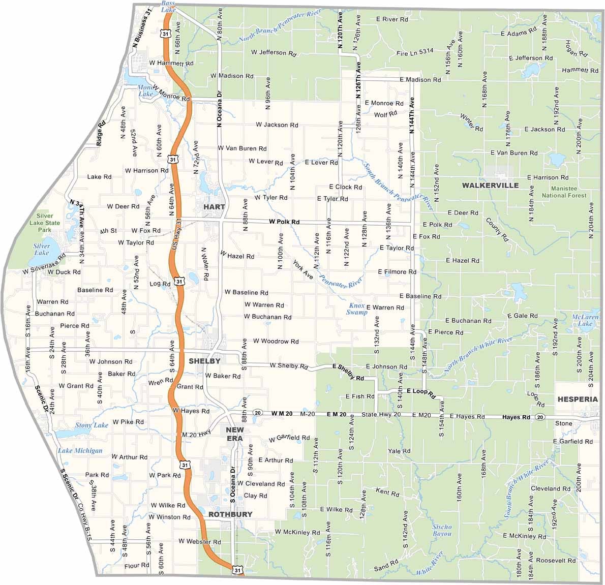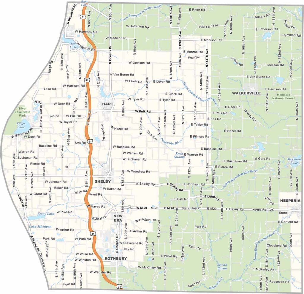
Oceana County Map, Michigan

Oceana County, Michigan

Oceana County lies along Michigan’s western shore. It’s a place where Lake Michigan waves meet fertile farmland. Small towns like Hart, the county seat, and Pentwater ooze with charm.

It’s known as the “Asparagus Capital of the World.” Seriously. And yep, you guessed it—the county produces plenty of asparagus.

Come to Silver Lake Sand Dunes to swim and try bodysurfing. You can ride buggies or simply marvel at the massive sandy playground.
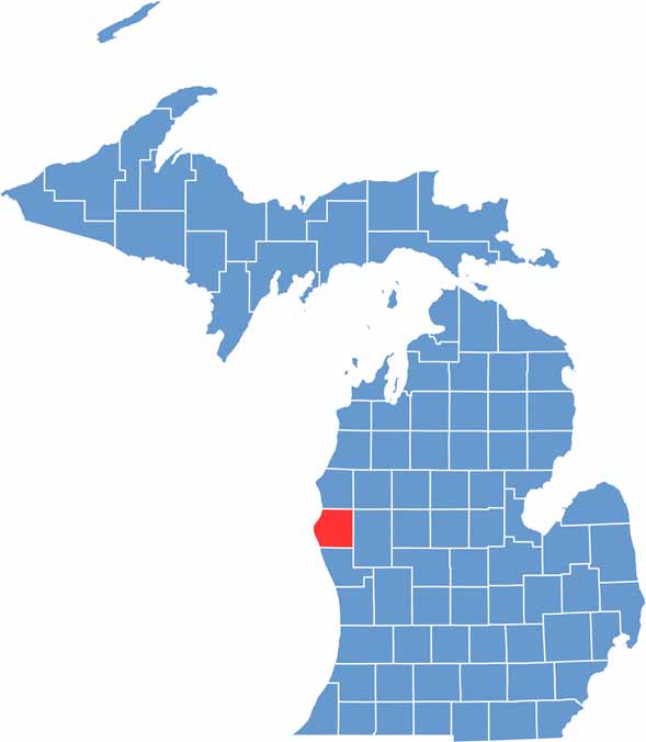

Oceana County location map of Michigan
CategoryDetails
County NameOceana County
County SeatHart
Cities, Towns, and CommunitiesHart, Shelby, Pentwater, Hesperia, Rothbury, New Era, Mears
Interstates and HighwaysUS 31, M-20, M-120
FIPS Code26-127
Total Area (Land and Water)1,306 square miles (Land: 512 sq mi, Water: 794 sq mi)
Adjacent Counties (and Direction)Mason County (North), Lake County (Northeast), Newaygo County (East), Muskegon County (South)
Time ZoneEastern Time Zone (ET)
StateMichigan
Coordinates43.6646° N, 86.2852° W
EtymologyNamed after the ocean, bordering Lake Michigan, the freshwater “ocean.”
Major LandmarksSilver Lake Sand Dunes, Little Sable Point Lighthouse, Hart-Montague Trail State Park, Pentwater Beach
PopulationApproximately 26,000
Scroll to Top