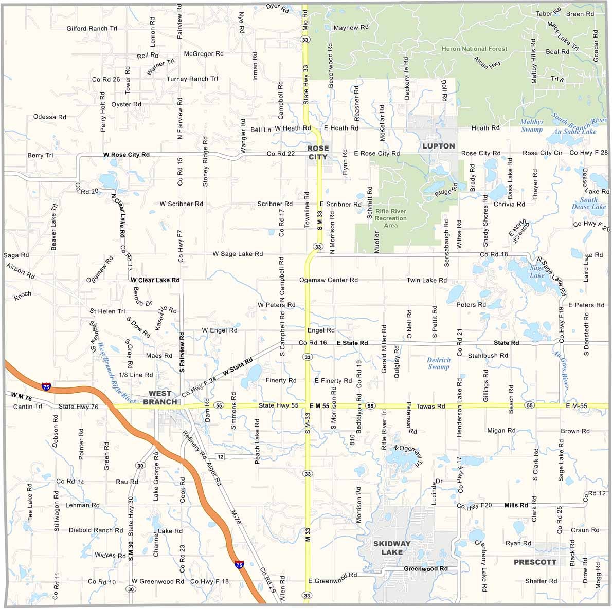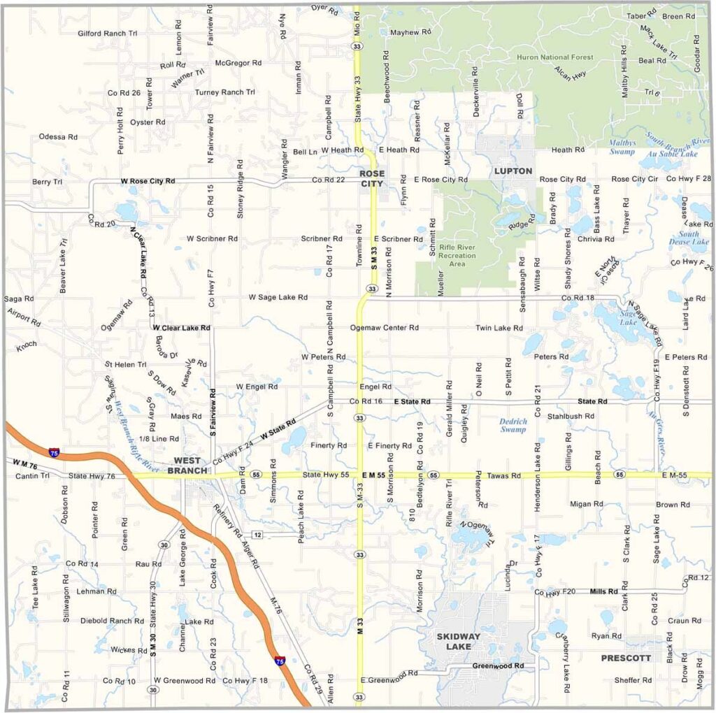
Ogemaw County Map, Michigan

Ogemaw County, Michigan

Ogemaw County is located in the northeastern part of Michigan’s Lower Peninsula. It’s a place where forests meet the fields, and the air smells of pine and fresh-cut hay.

The county seat is West Branch, situated in the southwest part of the county. Locals fish in the Rifle River and hunt in the Huron National Forest. Winters are long and snowy here.

But when spring arrives, it’s like the whole county takes a deep breath and bursts into life. Farmers markets pop up, selling everything from maple syrup to wild mushrooms.
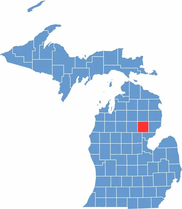

Ogemaw County location map of Michigan
CategoryDetails
County NameOgemaw County
County SeatWest Branch
Cities, Towns, and CommunitiesWest Branch, Rose City, Prescott, Skidway Lake, South Branch
Interstates and HighwaysI-75, M-30, M-33, M-55
FIPS Code26-129
Total Area (Land and Water)575 square miles (Land: 563 sq mi, Water: 12 sq mi)
Adjacent Counties (and Direction)Oscoda County (North), Alcona County (Northeast), Iosco County (East), Arenac County (Southeast)
Time ZoneEastern Time Zone (ET)
StateMichigan
Coordinates44.3316° N, 84.1252° W
EtymologyNamed after an Ojibwe word meaning “chief” or “head”
Major LandmarksRifle River Recreation Area, Ogemaw Hills Pathway, Irons Park, West Branch River Trail
PopulationApproximately 20,000
Scroll to Top