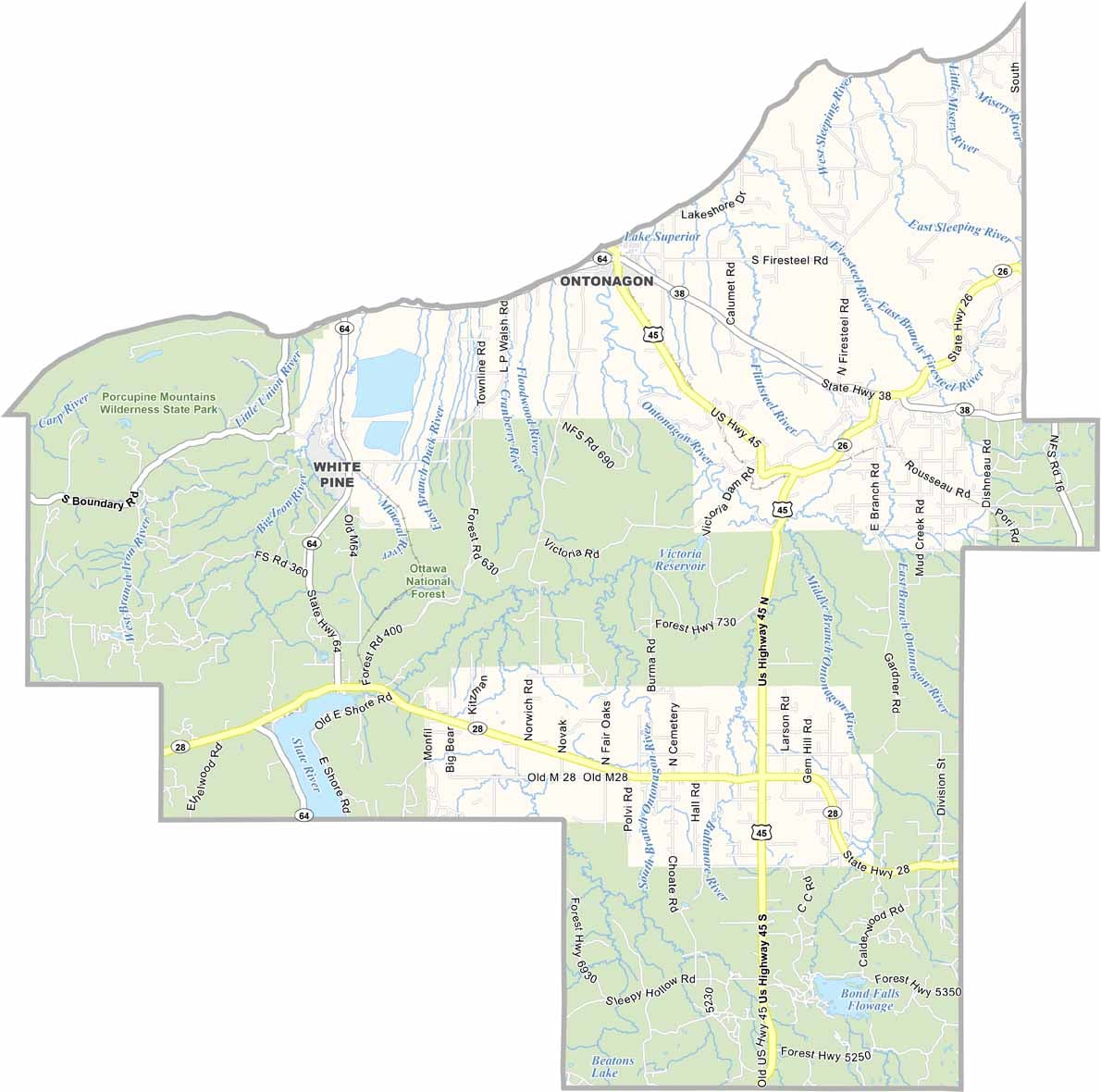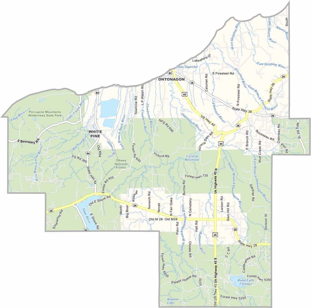
Ontonagon County Map, Michigan

Ontonagon County, Michigan

Michigan’s Upper Peninsula has a wild side, and it’s called Ontonagon County. This sprawling expanse of forests, lakes, and rugged shoreline sits right along Lake Superior’s southern edge.

It’s the kind of place where you might see more black bears than people on a given day. The Porcupine Mountains dominate the landscape, offering hikers views that’ll make your Instagram followers jealous.

Locals weather brutal winters and swarms of summer mosquitoes with equal grit. Fun fact: I once saw a local get into a fight with a mosquito here. You’d never guess who won.
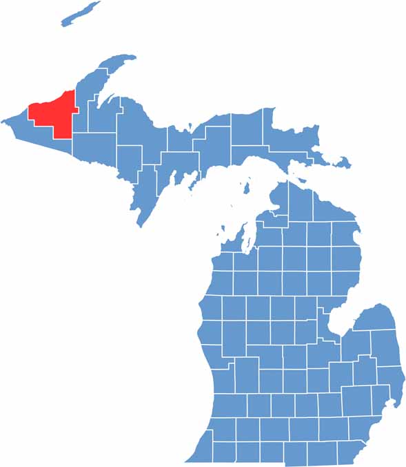

Ontonagon County location map of Michigan
CategoryDetails
County NameOntonagon County
County SeatOntonagon
Cities, Towns, and CommunitiesOntonagon, White Pine, Rockland, Greenland, Mass City, Bruce Crossing
Interstates and HighwaysUS 45, M-26, M-38
FIPS Code26-131
Total Area (Land and Water)3,741 square miles (Land: 1,311 sq mi, Water: 2,430 sq mi)
Adjacent Counties (and Direction)Houghton County (East), Iron County (Southeast), Gogebic County (South)
Time ZoneEastern Time Zone (ET)
StateMichigan
Coordinates46.8705° N, 89.3142° W
EtymologyNamed after the Ontonagon River, an Ojibwe word meaning “dish” or “bowl”.
Major LandmarksPorcupine Mountains Wilderness State Park, Lake of the Clouds, Bond Falls, Ontonagon Lighthouse
PopulationApproximately 5,500
Scroll to Top