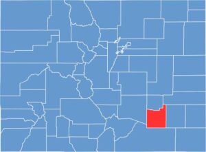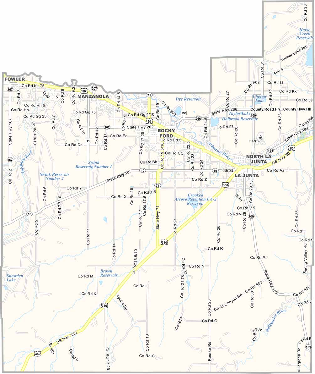
Otero County is located in southeastern Colorado, where dry plains and irrigated farmland define much of the landscape. La Junta serves as the county seat and largest community, with a rich history connected to the historic Santa Fe Trail.
Agriculture remains an important part of the local economy, supported by extensive irrigation. The region is especially known for Rocky Ford melons, which have become a signature agricultural product of southeastern Colorado. Horse Creek Reservoir also provides opportunities for boating, fishing, and outdoor recreation.
Otero County has a fascinating connection to prehistoric history, with dinosaur trackways found near La Junta and throughout the surrounding region. Nearby Comanche National Grassland offers opportunities for hiking, birdwatching, wildlife viewing, and exploring additional dinosaur tracks. Although the local economy has faced challenges, Otero County retains a strong rural character and a resilient community spirit.