Plaquemines Parish, Louisiana

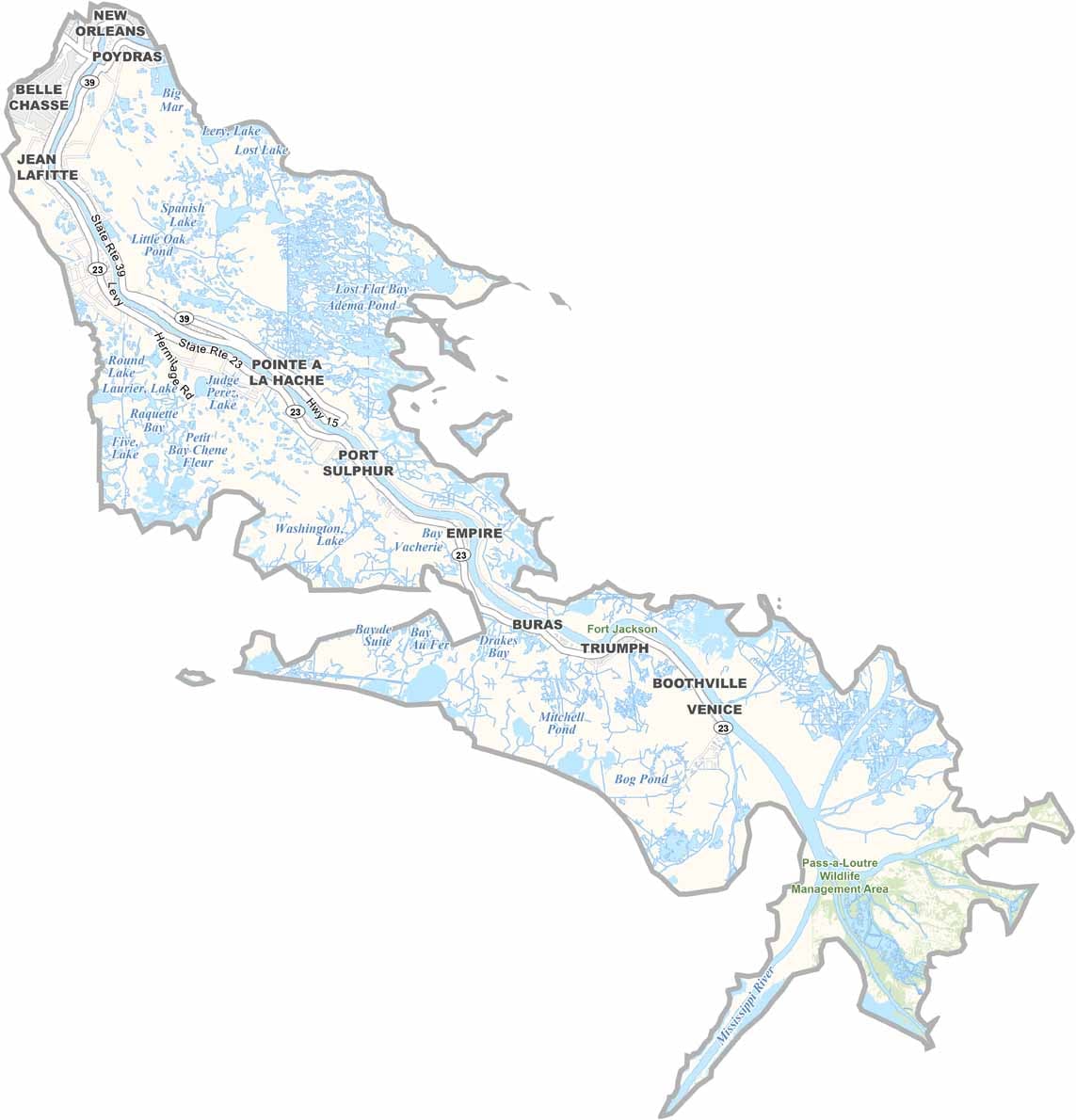
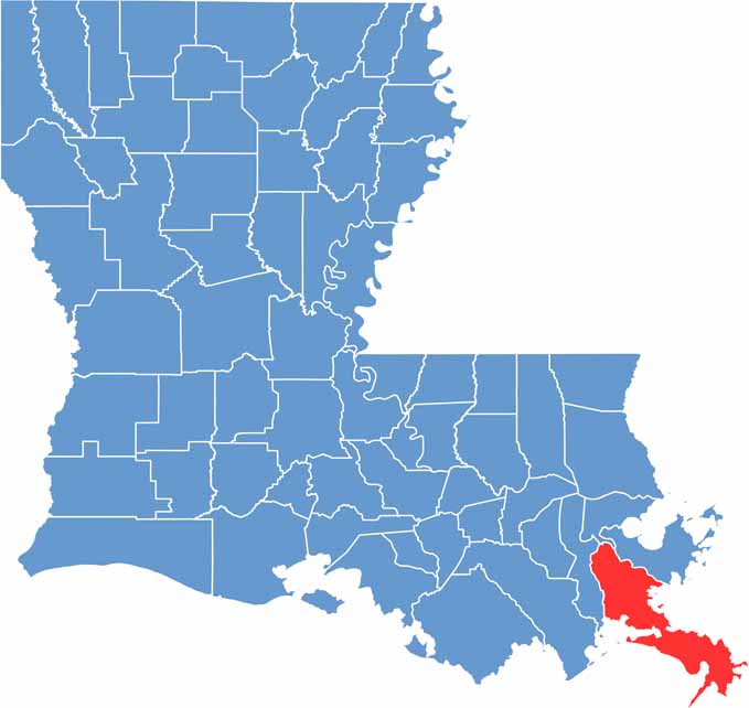
Plaquemines Parish sits at the southeastern tip of Louisiana, where the Mississippi River flows into the Gulf of Mexico. Its location gives the parish a distinctive coastal character shaped by river channels, wetlands, and open water.

This long, narrow stretch of land is a haven for outdoor recreation and fishing, with anglers drawn to its productive coastal waters and abundant catches. While the water plays a major role in local life, the parish also offers plenty of opportunities to explore its scenic landscapes and natural surroundings.

The area has a rich history marked by pirate legends and Civil War battles, adding another layer of character to the parish. Citrus groves are also a familiar part of the landscape, producing sweet oranges and flavorful satsumas that are closely associated with the region.

CategoryDetails
Parish NamePlaquemines Parish
Parish SeatPointe à la Hache
EtymologyNamed after the French word “plaquemine,” meaning persimmon, a fruit that is native to the area
Cities, Towns, and CommunitiesBelle Chasse, Port Sulphur, Buras, Boothville, Venice, Pointe à la Hache, Braithwaite, Jesuit Bend
Interstates and HighwaysLA-23, LA-39, LA-11, LA-3137
FIPS Code22-075
Total Area (Land and Water)2,567 square miles (845 sq mi land, 1,722 sq mi water)
Adjacent Parishes (and Direction)Orleans Parish (North), St. Bernard Parish (Northeast), Jefferson Parish (West)
Time ZoneCentral Time Zone (CT)
StateLouisiana
Coordinates29.3569° N, 89.5391° W
Major LandmarksFort Jackson, Fort St. Philip, Woodland Plantation, Fort Pike, Plaquemines Parish Seafood Festival, Venice Fishing Pier, Fort de la Boulaye
PopulationApproximately 24,000
Scroll to Top