
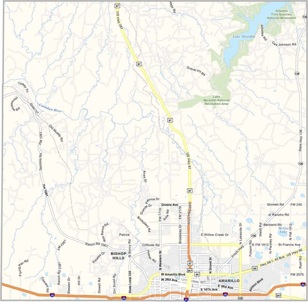
Potter County stretches across the Texas Panhandle, with Amarillo at its heart. This is cattle country, and the stockyards here are massive. But there’s more to the county than just cows.
Pantex Plant is also located here, where nuclear weapons are maintained. Kind of a big deal. Palo Duro Canyon lies just south and is breathtaking, ranking as the second-largest canyon in the country.
The wind never seems to stop blowing. Dust storms can turn day into night, but the sunsets are incredible. Orange and purple light up the wide-open sky.
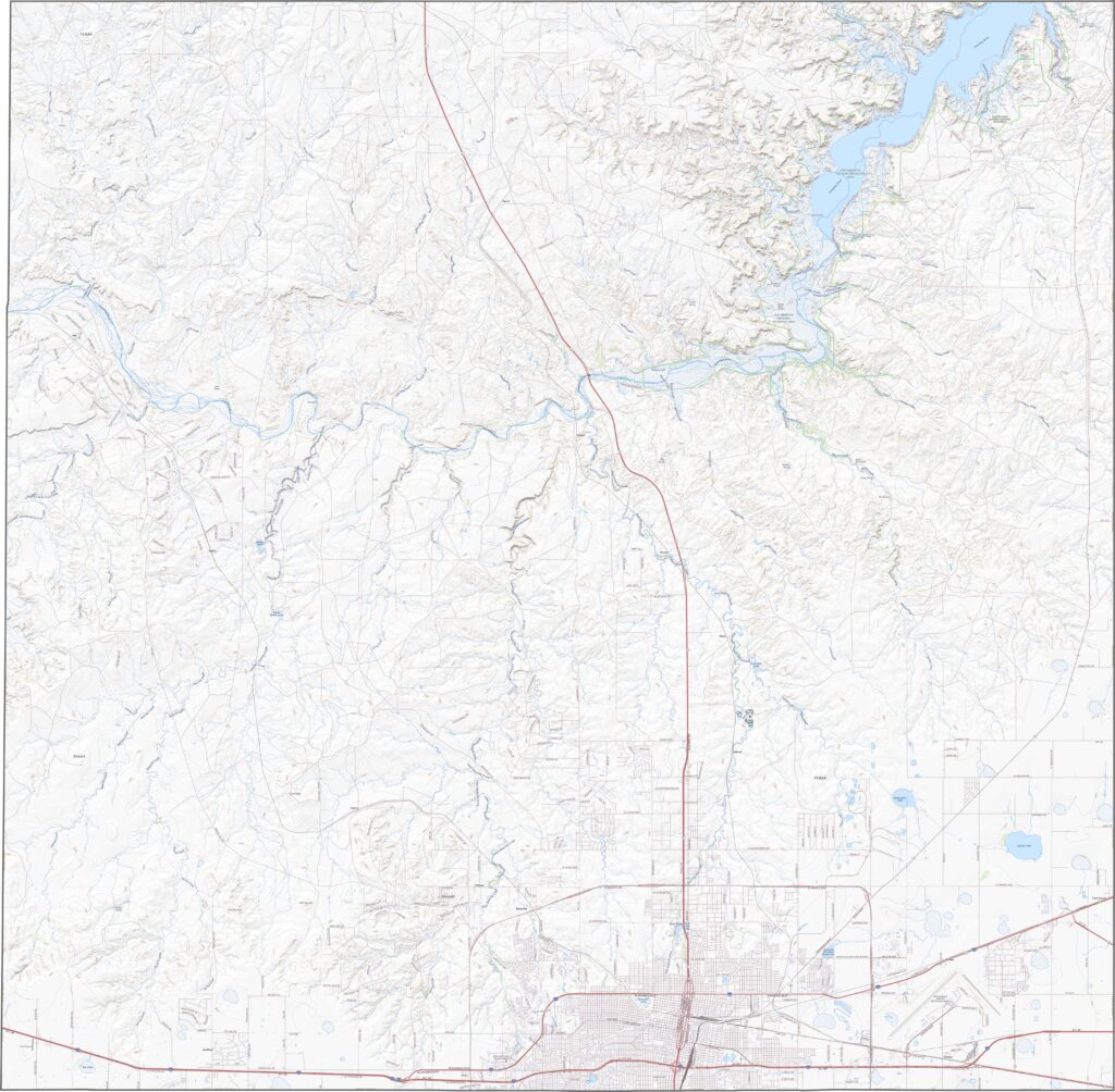
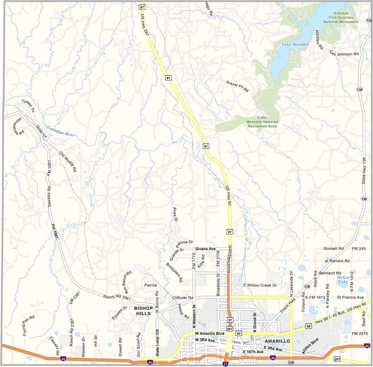
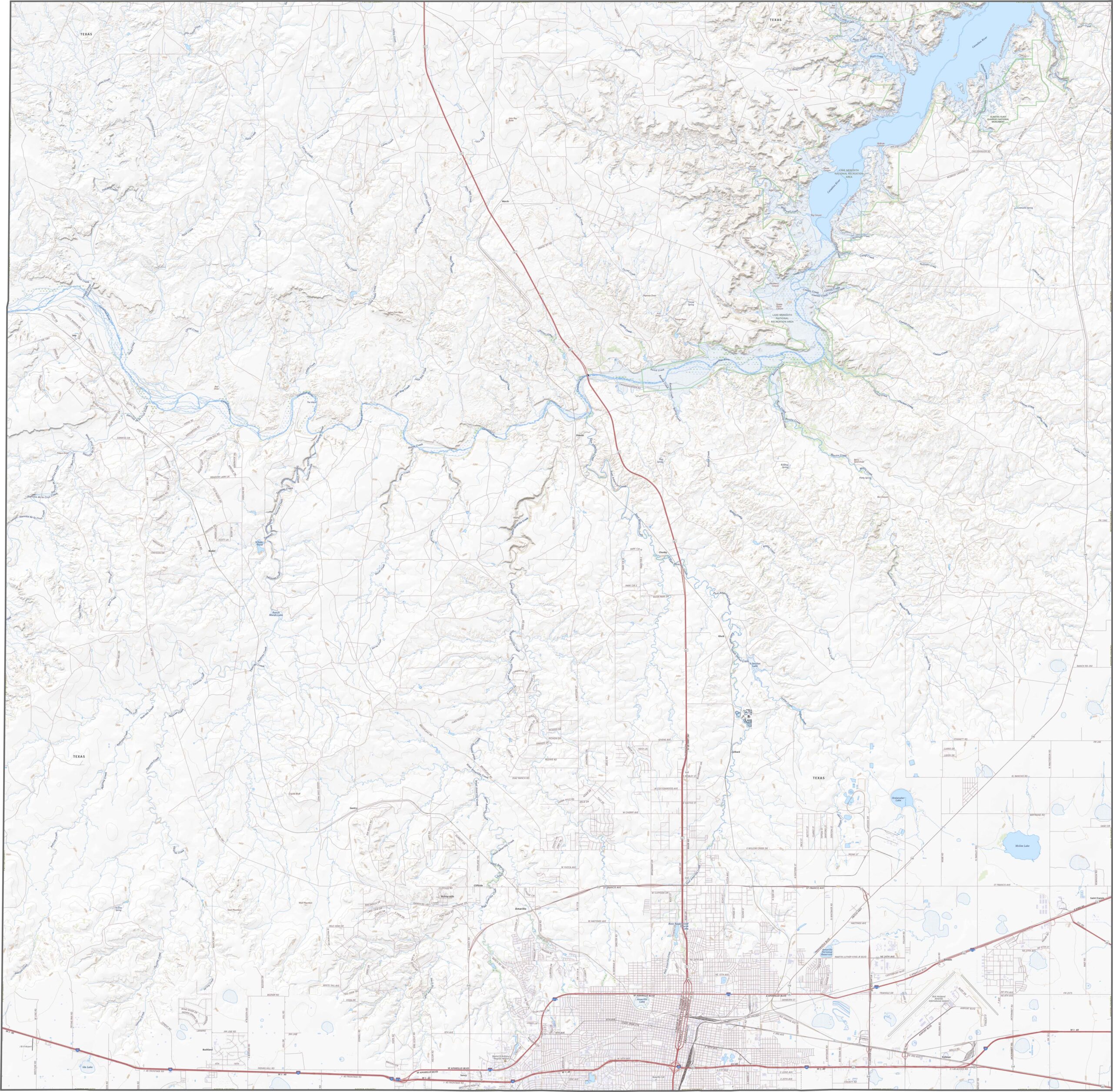
Highways spread out from Amarillo across Potter County. Even with the city at the center, large open stretches cover much of the map. Use our zoomable road map below to see how the transportation network connects.
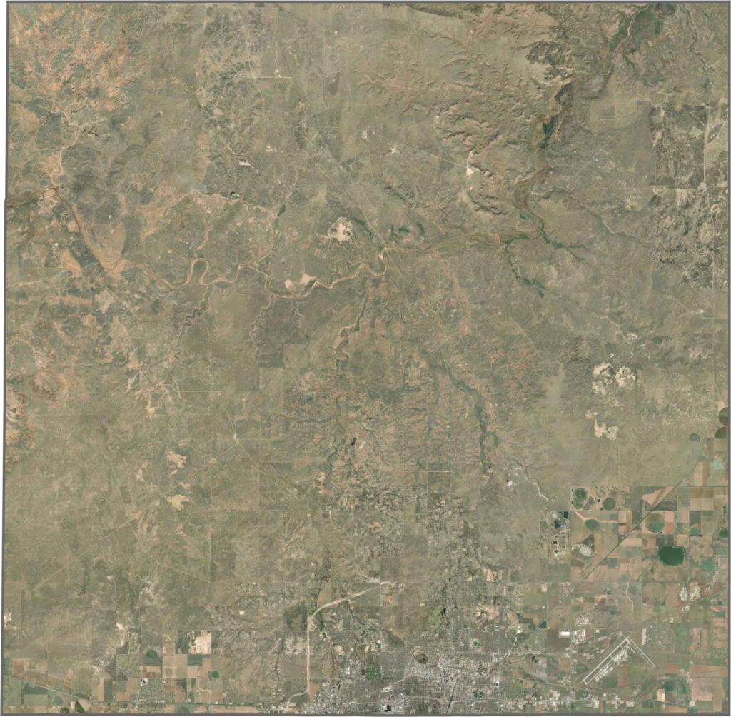
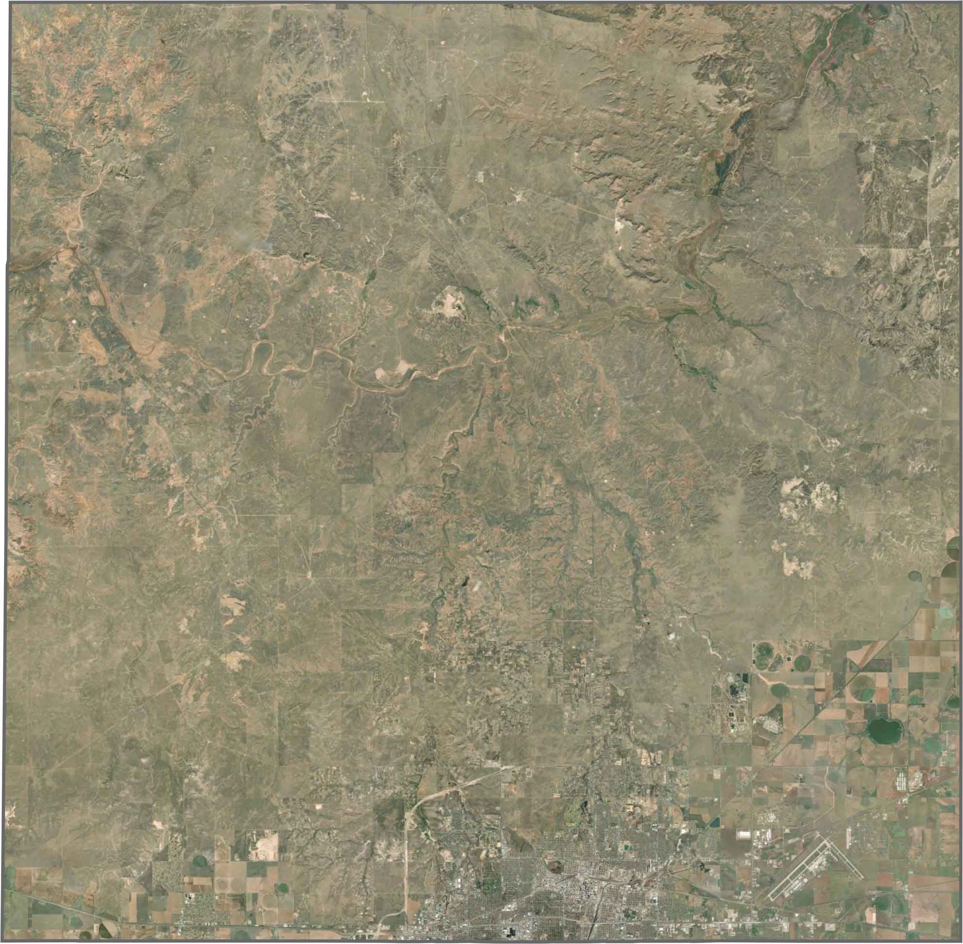
Much of Potter County appears brown from above. The landscape is open and dry, with occasional clusters of buildings scattered across it. Amarillo’s urban development spreads across the southern part of the county.
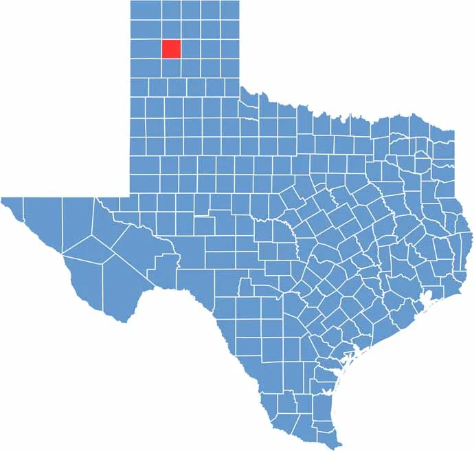
Potter County has a roughly square shape. It sits relatively close to New Mexico and Oklahoma, but it does not share a border with either state.









Discover all 254 legendary Texas county maps, covering the Lone Star State from the Panhandle to the Rio Grande. That means more rodeos, honky-tonk, and Texas BBQ.