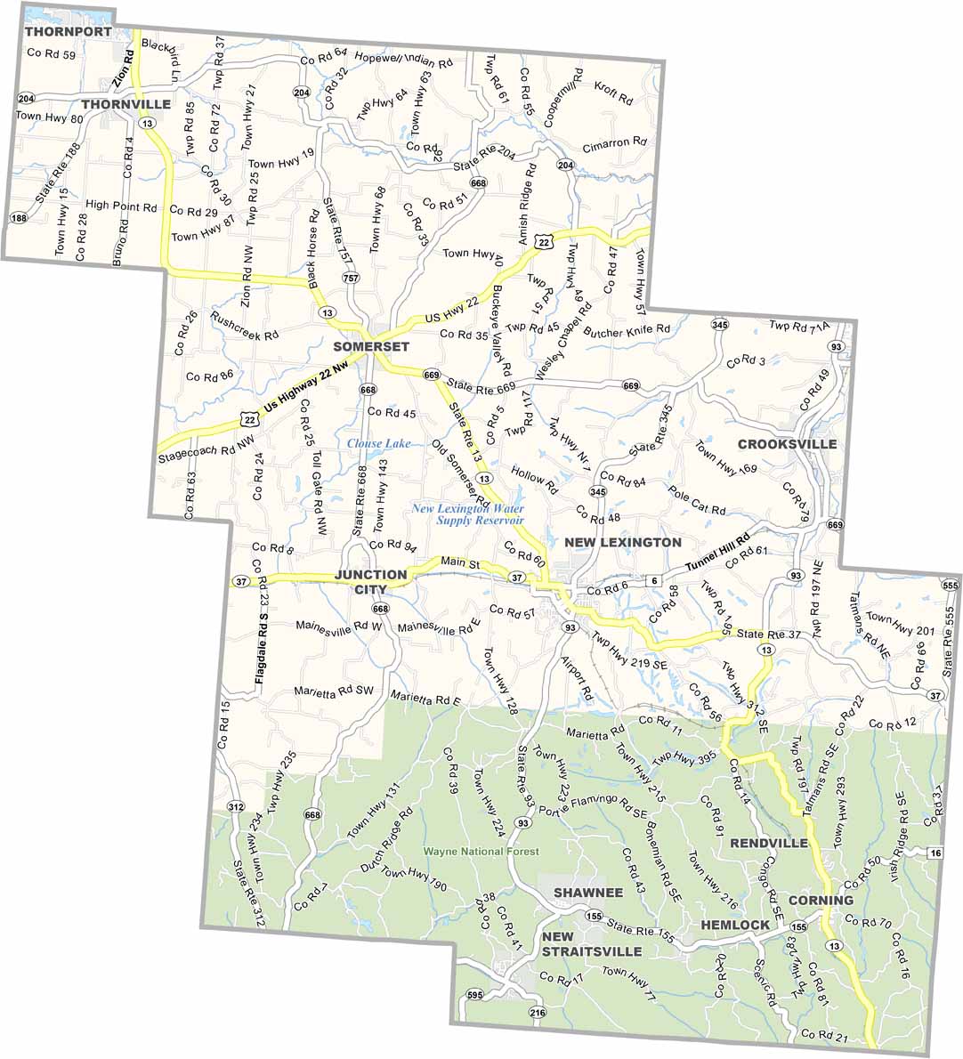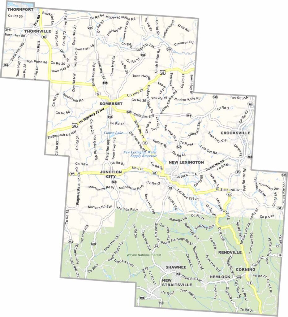
Perry County Map, Ohio

Perry County, Ohio

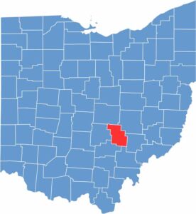
Perry County sits in the southeastern part of Ohio. The Wayne National Forest occupies much of the southern half, and New Lexington serves as the county seat.

Coal mining shaped much of the area’s history, but these days tourism is becoming more important. The county is named after Oliver Hazard Perry, a naval hero from the War of 1812.

You’ll find some beautiful rock formations here. Outdoor recreation is popular, especially ATV trails that attract visitors from all over. There’s a strong sense of Appalachian culture in Perry County, and people here are proud of their heritage.

CategoryDetails
County NamePerry County
County SeatNew Lexington
EtymologyNamed after Commodore Oliver Hazard Perry
Cities, Towns, and CommunitiesNew Lexington, Somerset, Glenford, Thornville
Interstates and HighwaysState Route 13, State Route 22, State Route 37
FIPS Code39-127
Total Area411 square miles (land and water)
Adjacent CountiesLicking County (North), Muskingum County (Northeast), Morgan County (Southeast), Athens County (South), Hocking County (Southwest), Fairfield County (West)
Time ZoneEastern Time Zone
StateOhio
Coordinates39.7269° N, 82.2190° W
Major LandmarksPerry County Historical Society, Burr Oak State Park
PopulationApproximately 36,000
Scroll to Top