
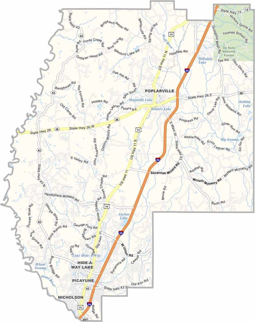
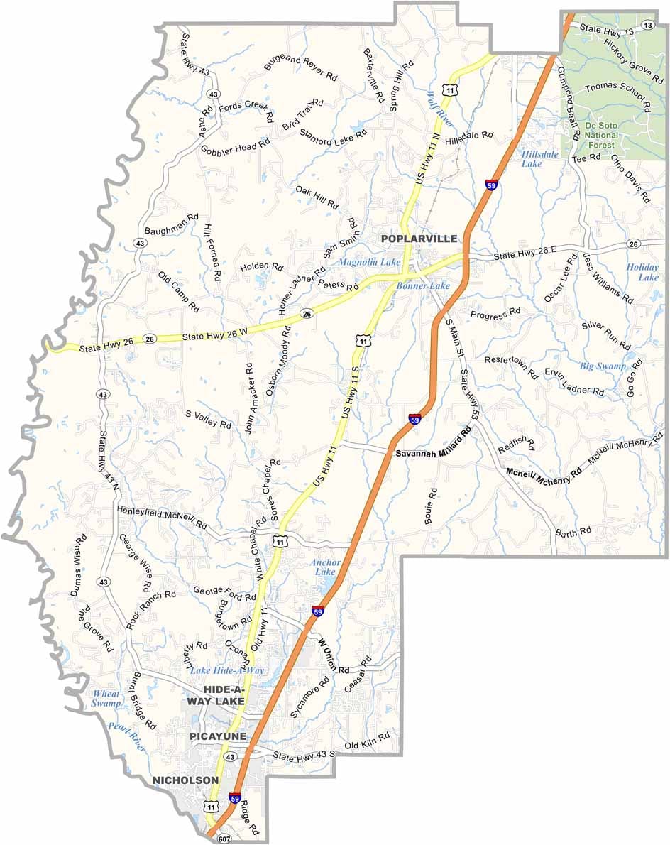
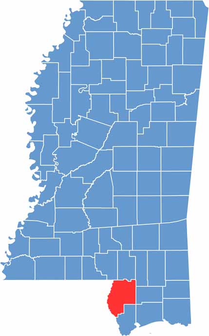
Pearl River County lies in south Mississippi, right on the Louisiana border. It's named after the Pearl River, which runs along its eastern edge.
Picayune, the biggest town, has a funny name and a lot of heart. Here, it's all about piney woods, farmland, and small towns.
If you're into the outdoors, you'll love it here. Fishing, hunting, camping: take your pick. The Crosby Arboretum is full of native plants and quiet trails.

Mississippi Counties
Rankin County Map Download Mississippi – Outline Map and Blank Map

Mississippi Counties
Madison County Map Download Mississippi – Outline Map and Blank Map

Mississippi Counties
Jackson County Map Download Mississippi – Outline Map and Blank Map

Mississippi Counties
Hinds County Map Download Mississippi – Outline Map and Blank Map

Mississippi Counties
Harrison County Map Download Mississippi – Outline Map and Blank Map

Mississippi Counties