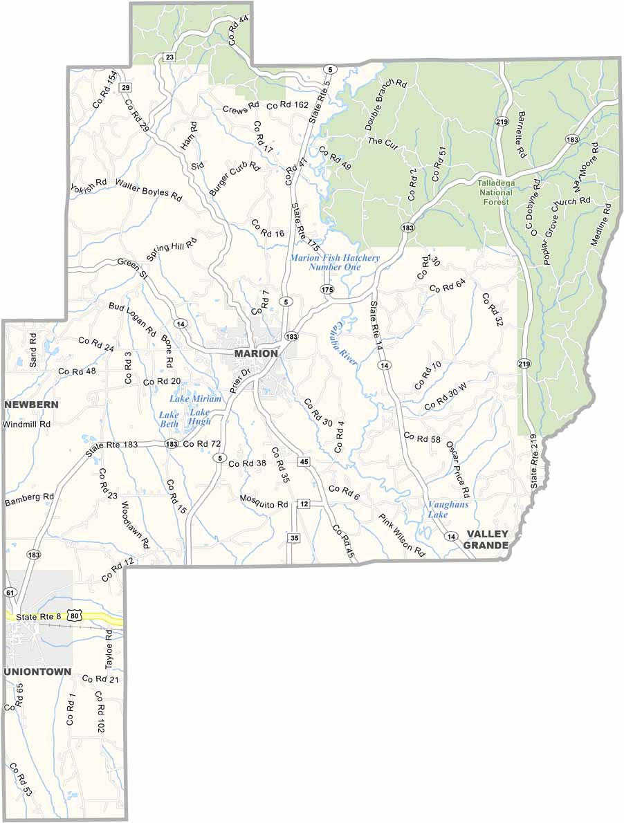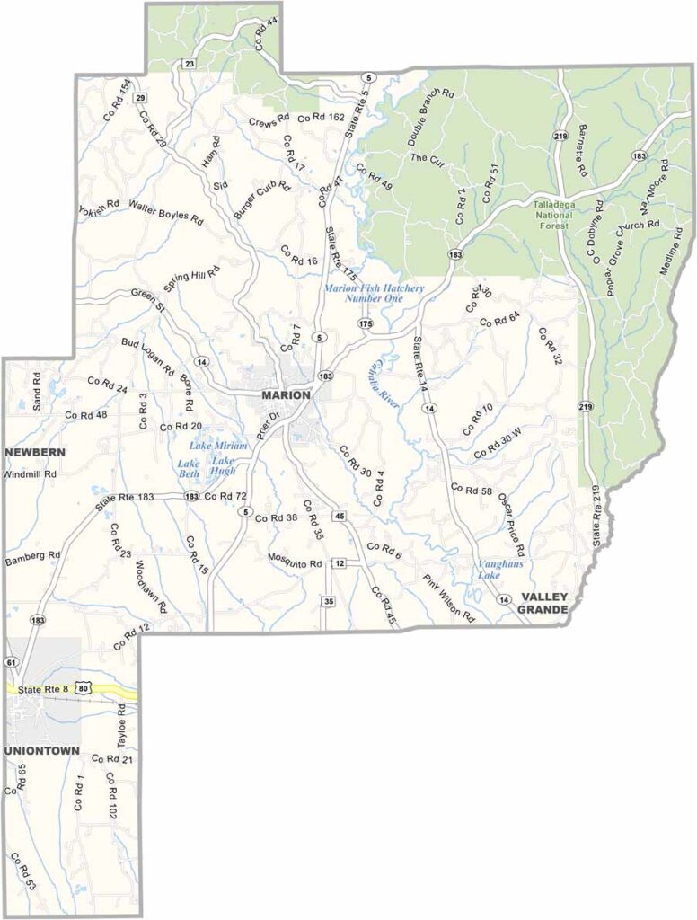
Perry County Map Download Alabama – Outline Map and Blank Map

Perry County Map Download Alabama – Outline Map and Blank Map

Perry County maps showing boundaries and locations in Alabama.

Perry County, Alabama

Perry County is located in west-central Alabama and has a small population of around 9,000 residents. U.S. Highway 80 passes through the county, while there are no major interstate highways in the area.

Marion serves as the county seat and is well known for the Marion Military Institute, the oldest military junior college in the United States, giving the area a strong sense of tradition and discipline.

Other notable attractions include the Alabama Fish Farming Center in Greensboro, which supports the state’s catfish industry. Perry Lakes Park also offers hiking trails and a unique viewing platform. Beyond these, the county has many more natural and cultural features worth exploring.
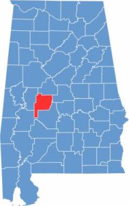

Perry County location map showing its position in Alabama.
Category Details
County Name Perry County
County Seat Marion
Cities, Towns, and Communities Marion, Uniontown, Sprott, Heiberger, Folsom, Hamburg, Radford
Interstates and Highways U.S. Highway 80, State Route 5, State Route 14, State Route 183
Etymology Named after Commodore Oliver Hazard Perry, a naval hero of the War of 1812
FIPS Code 01-105
Total Area (Land and Water) 724 square miles (Land: 720 sq mi, Water: 4 sq mi)
Time Zone Central Time Zone (CT)
State Alabama
Coordinates 32.6309° N, 87.2972° W
Major Landmarks Marion Military Institute, Judson College, Perry Lakes Park, Lincoln Normal School Historic District, Alabama Women’s Hall of Fame
Adjacent Counties (and Direction) Bibb County (North), Chilton County (Northeast), Dallas County (East), Marengo County (Southwest), Hale County (West)
Population Approximately 9,000
Scroll to Top