Morgan County Map Download Alabama – Outline Map and Blank Map

Morgan County Map Download Alabama – Outline Map and Blank Map

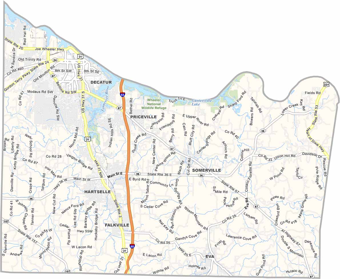
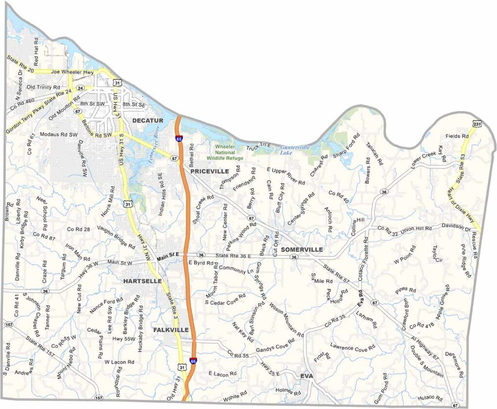
Morgan County maps showing boundaries and locations in Alabama.

Morgan County, Alabama

Morgan County is situated in the northern region of Alabama. Its largest city is Decatur, and the county has a population of around 125,000 residents.

The Tennessee River forms the county’s northern boundary, creating Wheeler Lake, a popular spot for recreation. Point Mallard Park is a well-known attraction offering a golf course, campgrounds, and a sports complex.

Major highways like Interstate 65 and U.S. Highway 31 run through the county, providing connections to cities such as Huntsville and Birmingham. Visitors to the Wheeler National Wildlife Refuge are encouraged to bring binoculars to enjoy birdwatching and the natural scenery.
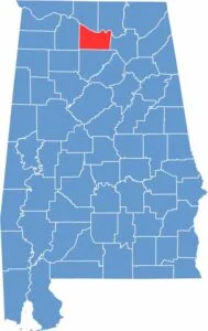

Morgan County location map showing its position in Alabama.
Category Details
County Name Morgan County
County Seat Decatur
Cities, Towns, and Communities Decatur, Hartselle, Priceville, Falkville, Somerville, Trinity, Eva, Lacey’s Spring, Valhermoso Springs, Flint City, Basham, Neel
Interstates and Highways Interstate 65, U.S. Highway 31, U.S. Highway 72 Alternate, State Route 67, State Route 36, State Route 20
Etymology Named after General Daniel Morgan, a hero of the American Revolutionary War
FIPS Code 01-103
Total Area (Land and Water) 599 square miles (Land: 582 sq mi, Water: 17 sq mi)
Time Zone Central Time Zone (CT)
State Alabama
Coordinates Alabama
Major Landmarks Wheeler National Wildlife Refuge, Point Mallard Park, Cook Museum of Natural Science, Morgan County Archives, Historic Decatur Depot
Adjacent Counties (and Direction) Madison County (Northeast), Marshall County (East), Cullman County (South), Lawrence County (West), Limestone County (Northwest)
Population Approximately 125,000
Scroll to Top