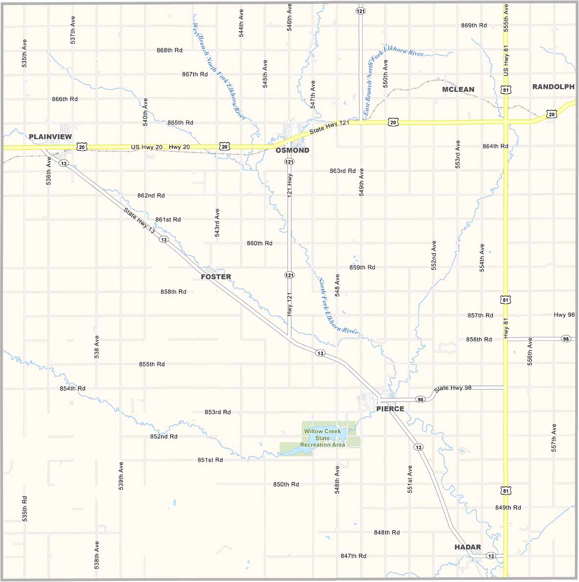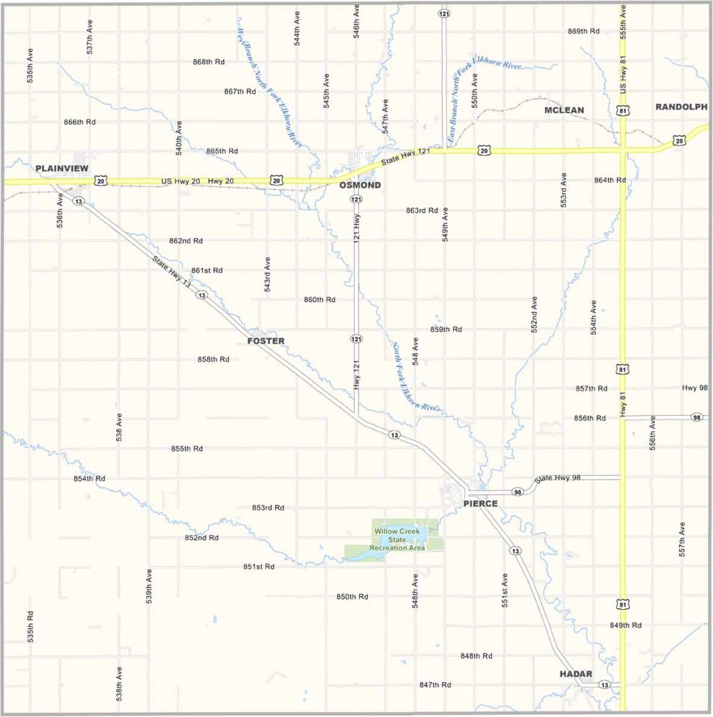
Pierce County Map, Nebraska

Pierce County, Nebraska

Pierce County is located in northeastern Nebraska and is farm country through and through. Pierce serves as the county seat and is a small town with a big heart.

The North Fork Elkhorn River flows through the county, while rolling hills and grasslands shape the landscape. It may not look like the typical Nebraska scenery most people imagine.

Agriculture remains the backbone of the local economy. The population has stayed fairly steady, which is notable for rural Nebraska. Pierce County offers a close-knit community with deep roots in the state.
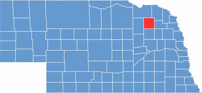

Pierce County location map of Nebraska
CategoryDetails
County NamePierce County
County SeatPierce
EtymologyNamed after Franklin Pierce, the 14th President of the United States
Cities, Towns, and CommunitiesPierce, Plainview, Osmond, Hadar, Foster
Interstates and HighwaysUS 81, NE 13, NE 121
FIPS Code31-139
Total Area (Land and Water)575 square miles (Land: 573 sq mi, Water: 2 sq mi)
Adjacent Counties (and Direction)Cedar County (Northeast), Wayne County (East), Stanton County (Southeast), Madison County (South), Antelope County (West), Knox County (North)
Time ZoneCentral Time Zone (CT)
StateNebraska
Coordinates42.1986° N, 97.6097° W
Major LandmarksWillow Creek State Recreation Area, Plainview Historical Museum, Pierce County Fairgrounds
PopulationApproximately 7,000
Scroll to Top