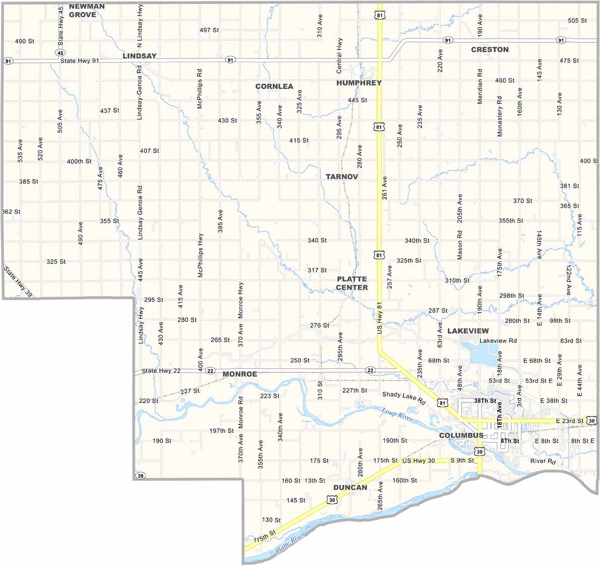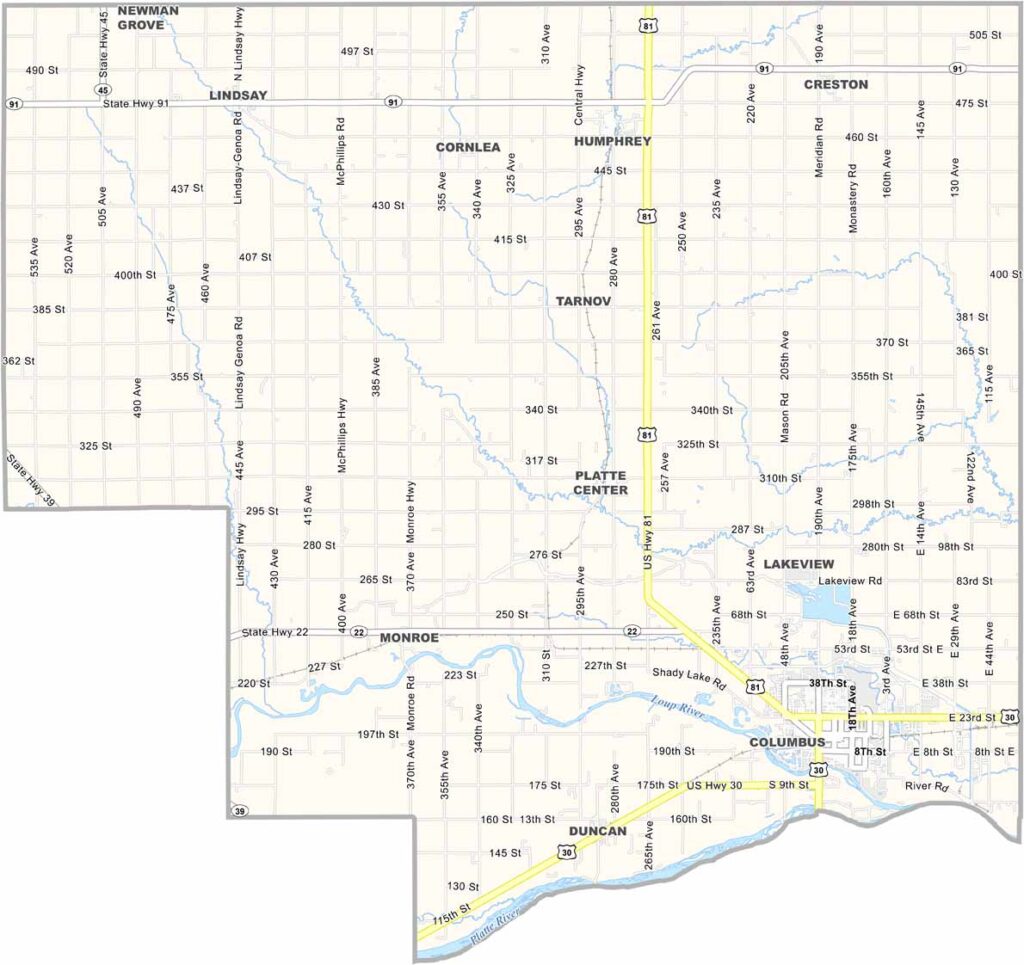
Platte County Map, Nebraska

Platte County, Nebraska

Platte County is located in eastern Nebraska. Columbus serves as the county seat and is the center of activity. The landscape features a mix of river valleys and rolling hills, creating the quiet beauty Nebraska is known for.

The Platte River flows through the county and forms its southern boundary. In fact, the river is also the reason the county is called Platte County.

Farming is a major part of the local economy, with many of the same crops grown throughout Nebraska. Industry also plays a role, adding variety to the economy. People here are friendly, although they tend to keep to themselves.
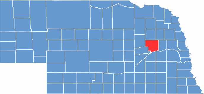

Platte County location map of Nebraska
CategoryDetails
County NamePlatte County
County SeatColumbus
EtymologyNamed after the Platte River, which runs through the county
Cities, Towns, and CommunitiesColumbus, Humphrey, Monroe, Platte Center, Tarnov, Duncan, Cornlea, Lindsay
Interstates and HighwaysUS 30, US 81, NE 22, NE 91
FIPS Code31-141
Total Area (Land and Water)685 square miles (Land: 678 sq mi, Water: 7 sq mi)
Adjacent Counties (and Direction)Colfax County (East), Butler County (Southeast), Polk County (South), Merrick County (South), Nance County (Southwest), Boone County (West), Madison County (North), Stanton County (Northeast)
Time ZoneCentral Time Zone (CT)
StateNebraska
Coordinates41.5706° N, 97.5240° W
Major LandmarksPawnee Park, Andrew Jackson Higgins Memorial, Platte County Museum
PopulationApproximately 34,000
Scroll to Top