
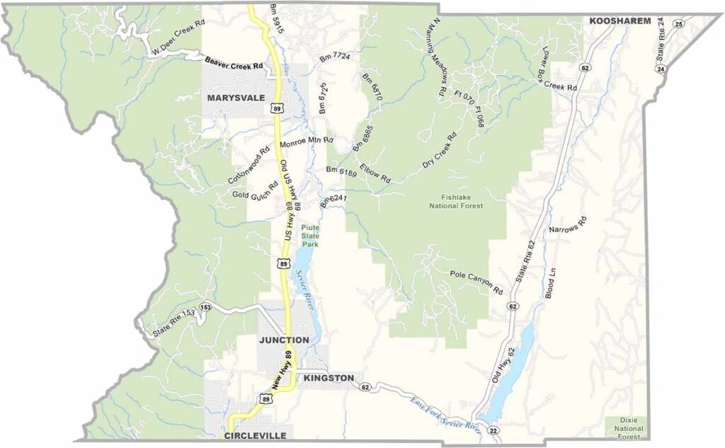
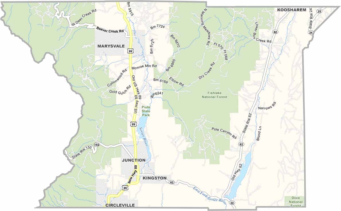
Piute County lies in south-central Utah, where rich history meets rugged natural beauty. Though it’s one of the state’s smaller counties, it offers plenty of character and outdoor adventure. The county takes its name from the Paiute people, who have longstanding ties to the region.
Piute State Park is a popular destination for fishing and relaxing by the water, while the Tushar Mountains are known for excellent ATV trails and scenic backcountry routes. Circleville is the county’s largest community, but the entire county is home to fewer than 2,000 residents.
The area also has ties to the legendary outlaw Butch Cassidy, who spent part of his youth here. Mining once attracted prospectors hoping to strike it rich, but today, outdoor recreation is a major draw. With red rock landscapes, alpine forests, and expansive skies.
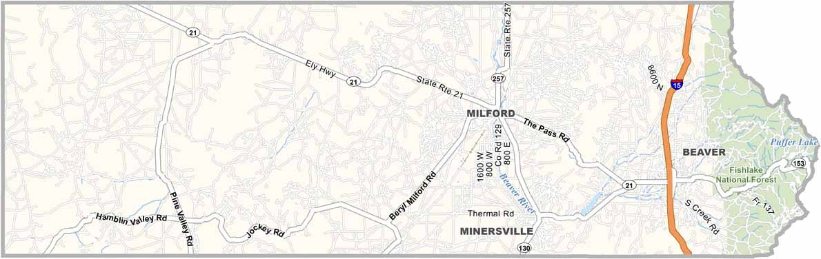
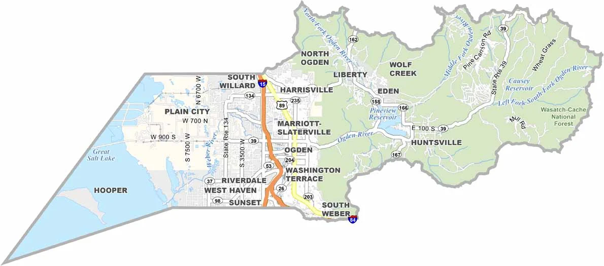
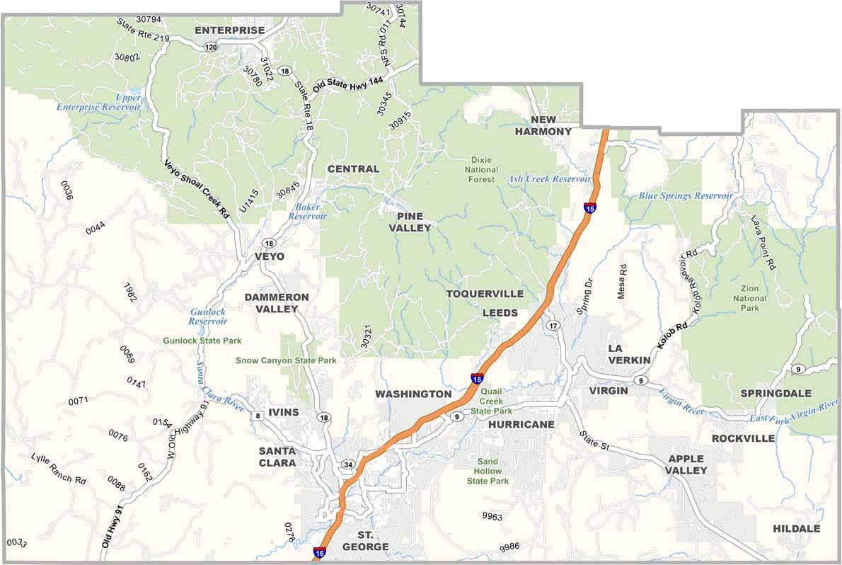
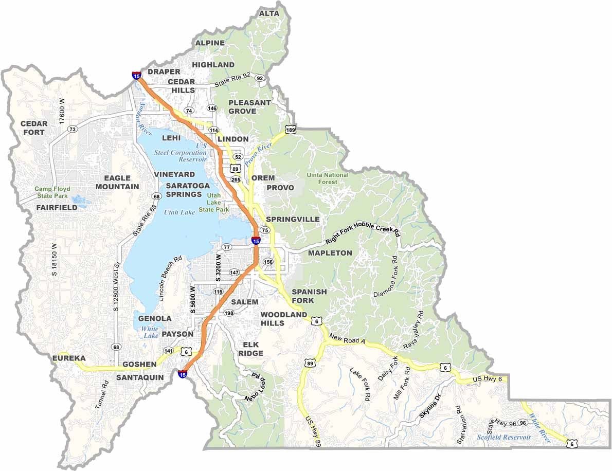
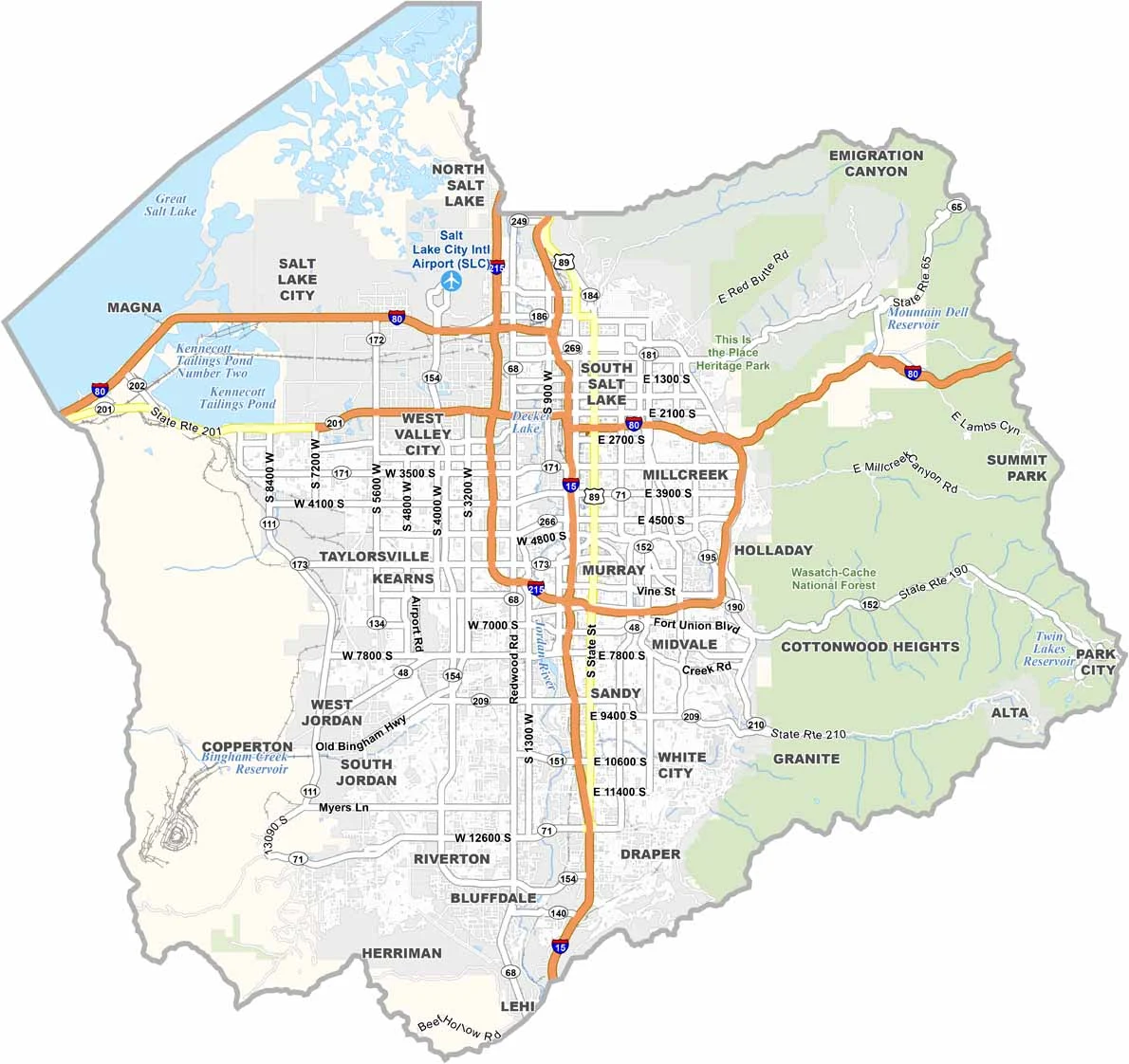
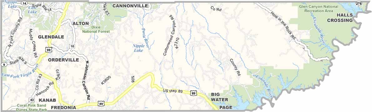
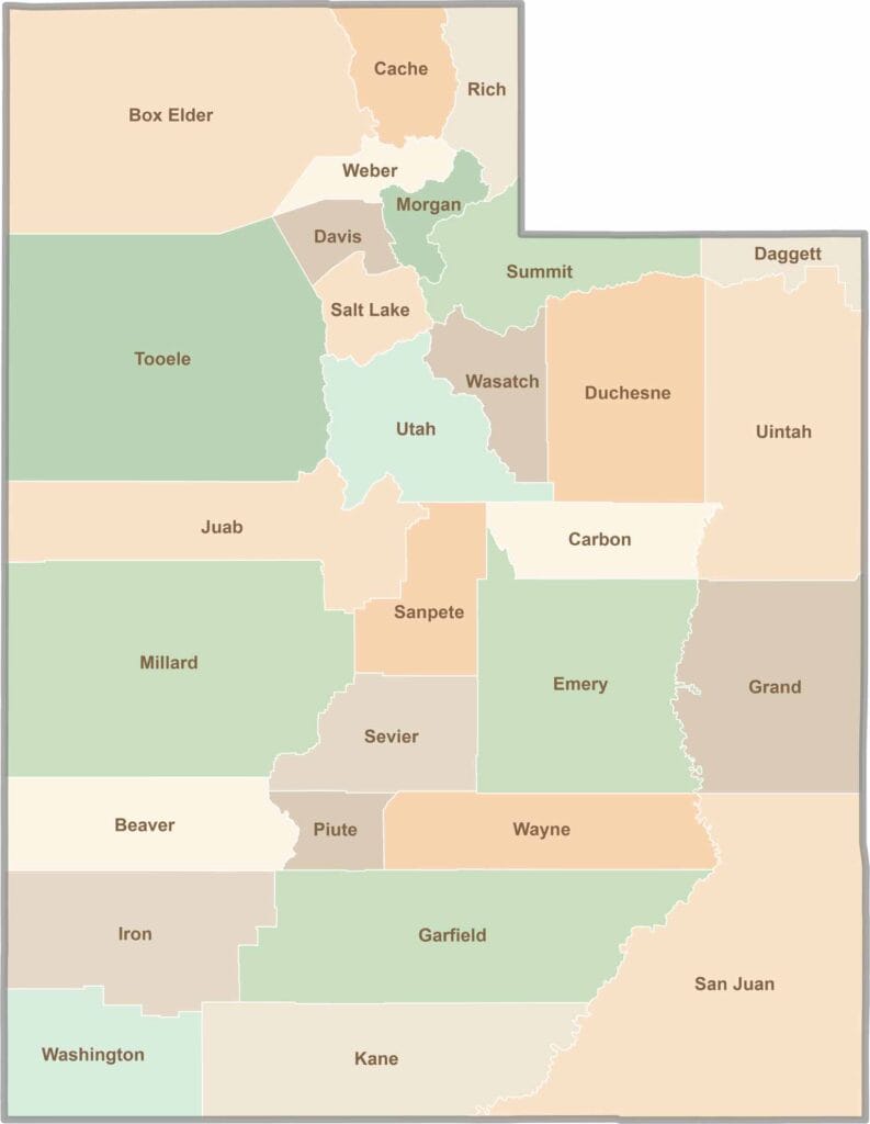
Utah’s 29 counties each have their own unique character and landscape. One is known for its stunning red rock formations, while another rises beneath snow-covered mountain peaks. From vast lava fields and salt flats to deep canyons, every county has a distinct landscape and a story of its own.