
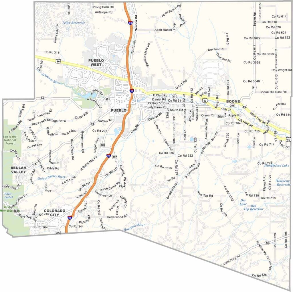
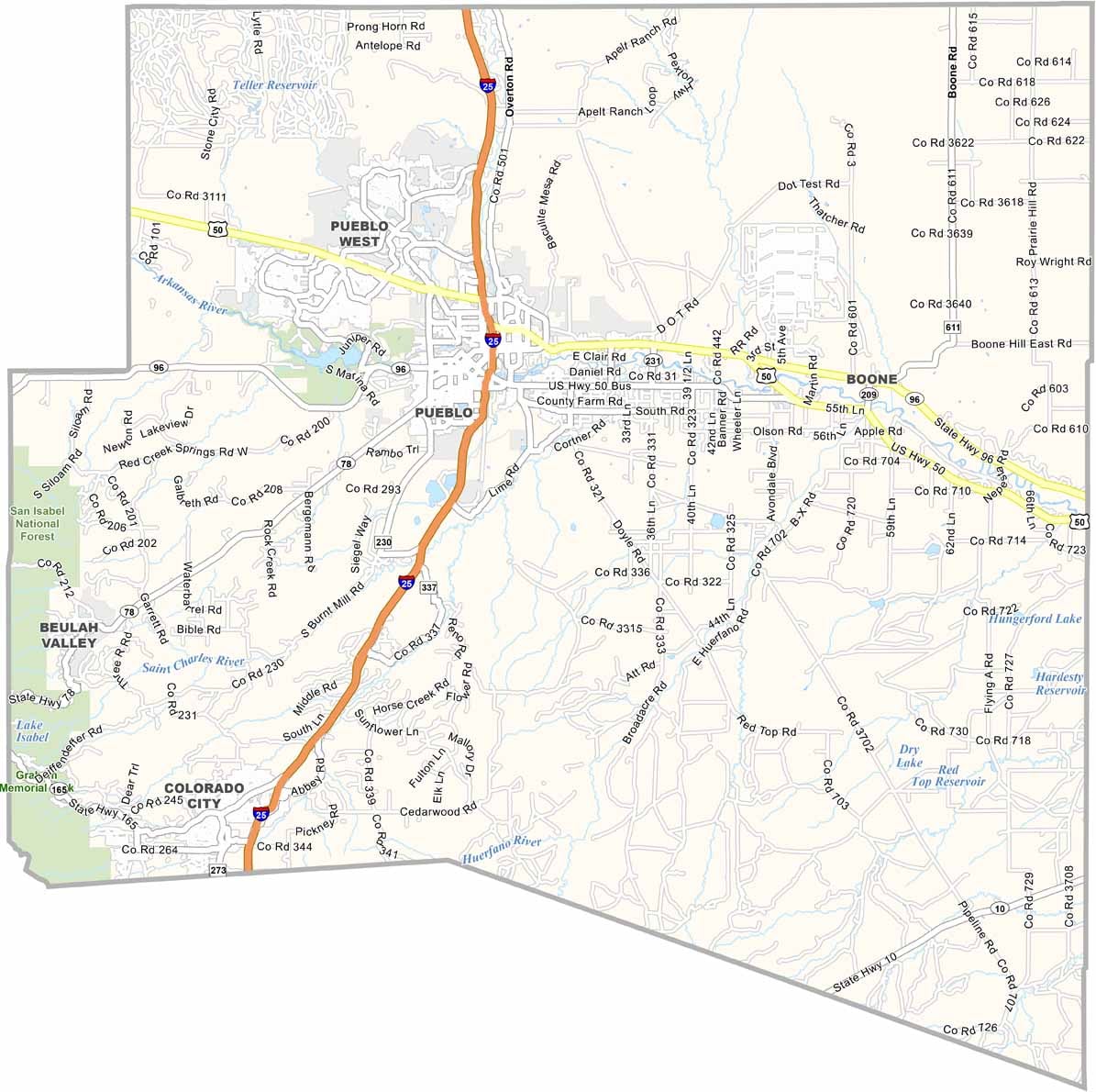
Pueblo County is located in south-central Colorado, with Pueblo serving as the county’s main city and county seat. Known as the “Steel City,” Pueblo has a long history tied to steel production and remains an important industrial and cultural center in southern Colorado.
The county combines urban communities with wide-open rural areas. The Arkansas River flows through Pueblo, providing opportunities for kayaking, fishing, and other water activities. Lake Pueblo State Park is another popular destination, offering boating, fishing, camping, and scenic views.
Interstate 25 runs through the county, connecting Pueblo with Colorado Springs and other communities along the Front Range. With a population of around 170,000, Pueblo County has a strong Hispanic cultural influence and a diverse food scene. The annual Colorado State Fair is also a major local event, attracting visitors from across the region.
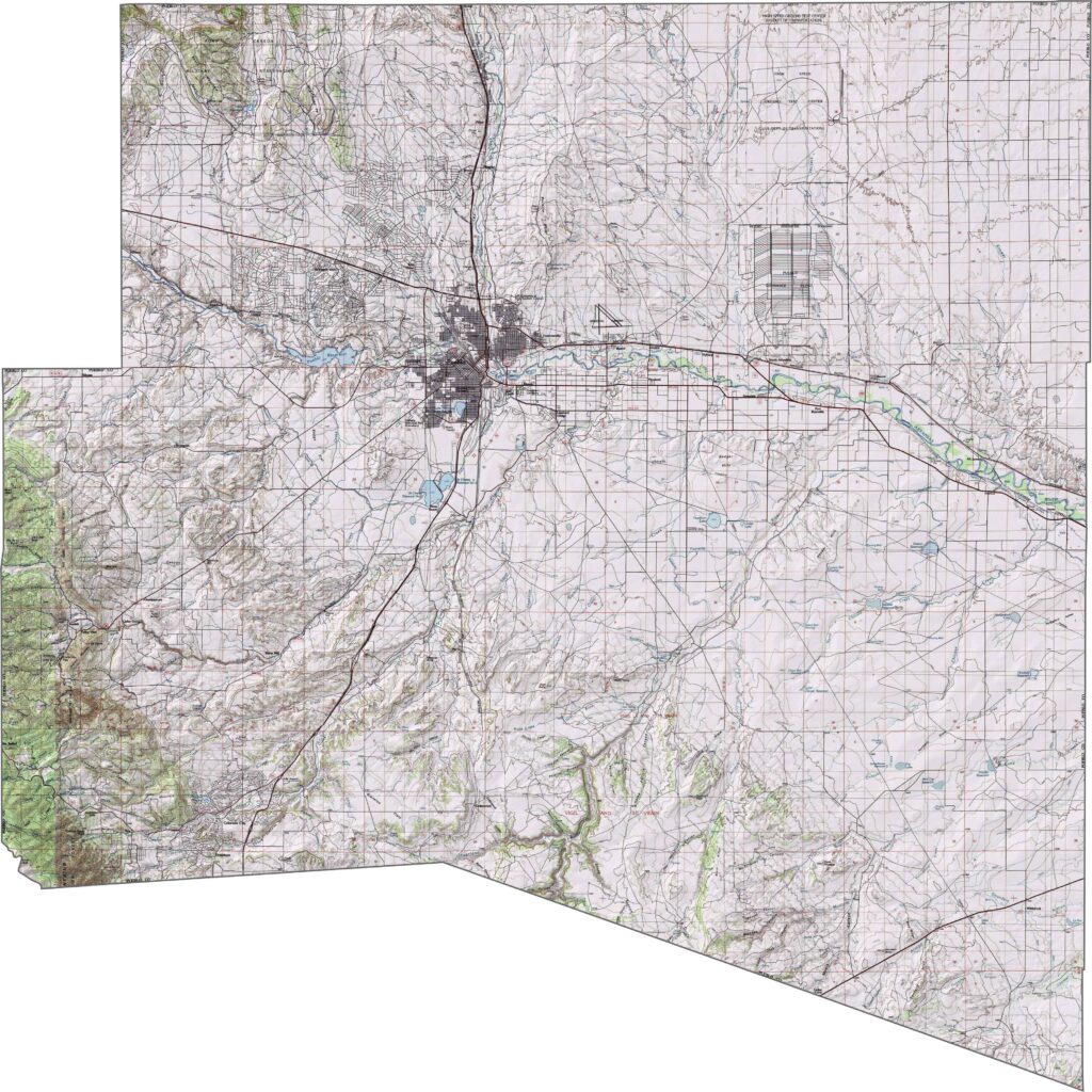
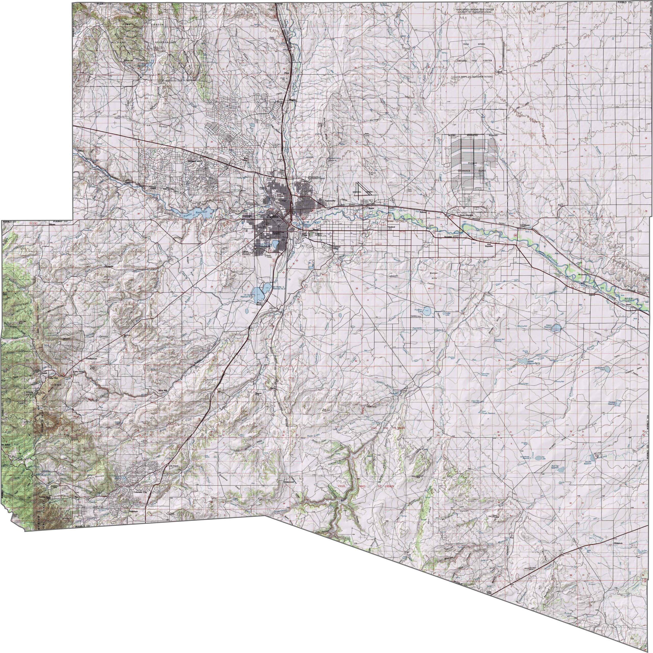
This topographic map highlights Pueblo County’s varied terrain, centered around the Arkansas River Valley. Plateaus rise to the south and east, while the western edge marks the beginning of the Wet Mountains, where elevations increase noticeably. Use our zoom tool to explore these changing landforms in greater detail.
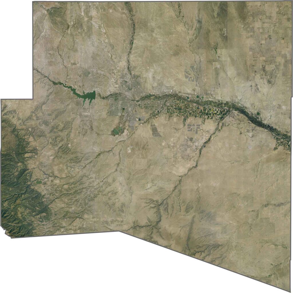
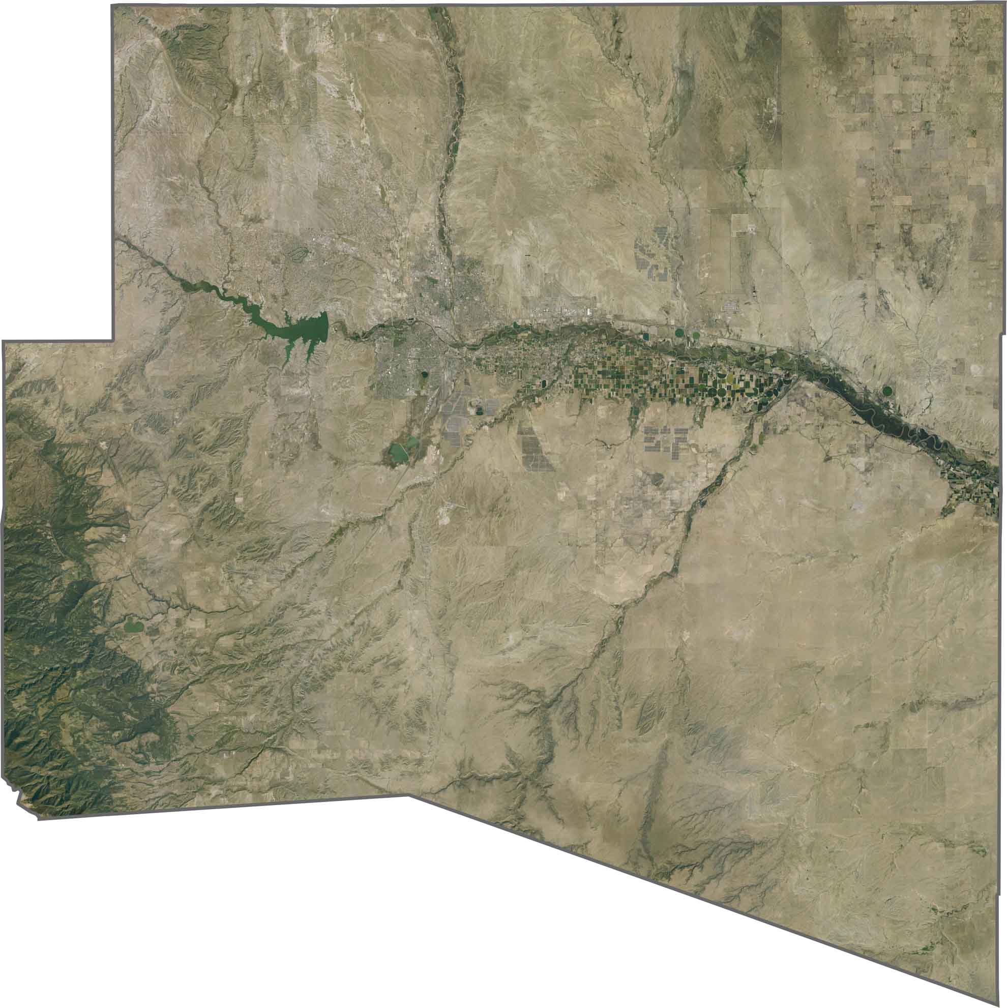
This satellite map shows the Arkansas River winding through Pueblo County’s semi-arid landscape. Pueblo Reservoir stands out as a prominent blue feature southwest of the city, surrounded by open terrain and rolling hills.
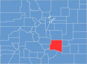
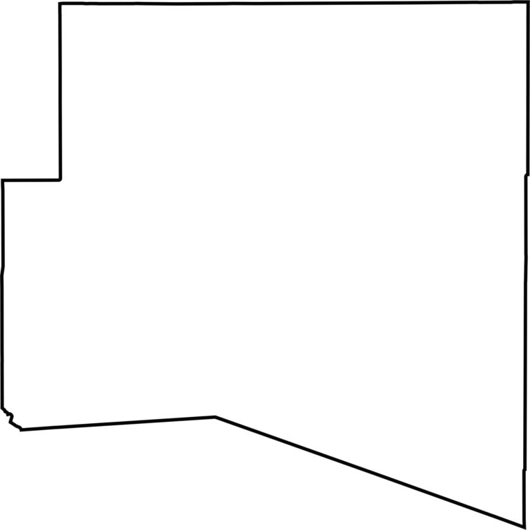
This blank map outlines Pueblo County’s roughly rectangular shape in southern Colorado, with several irregular boundaries. Located south of El Paso County, the county is centered around the city of Pueblo and the Arkansas River Valley.







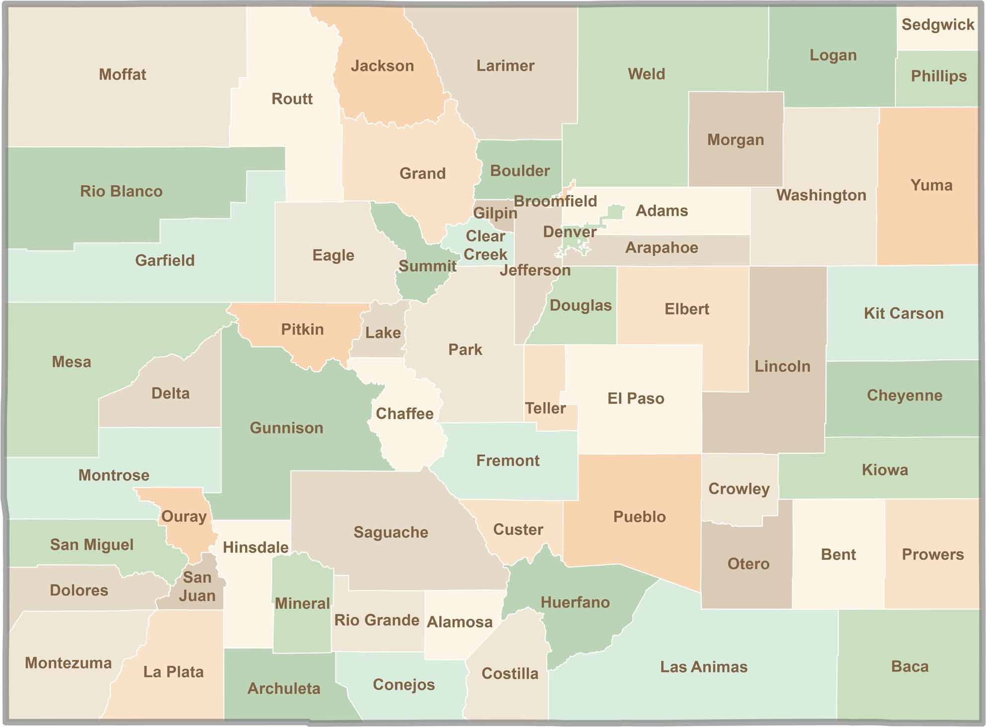
Think you know all 64 counties in Colorado? Our Colorado County Map brings them all together in one place, from the towering Rocky Mountains to the expansive eastern plains. Explore the Centennial State county by county and discover the diverse regions that make Colorado unique.