Rice County, Kansas

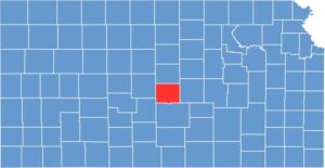
Rice County is located in the heart of central Kansas, where wide-open fields stretch across the landscape and the towns are small but full of life.

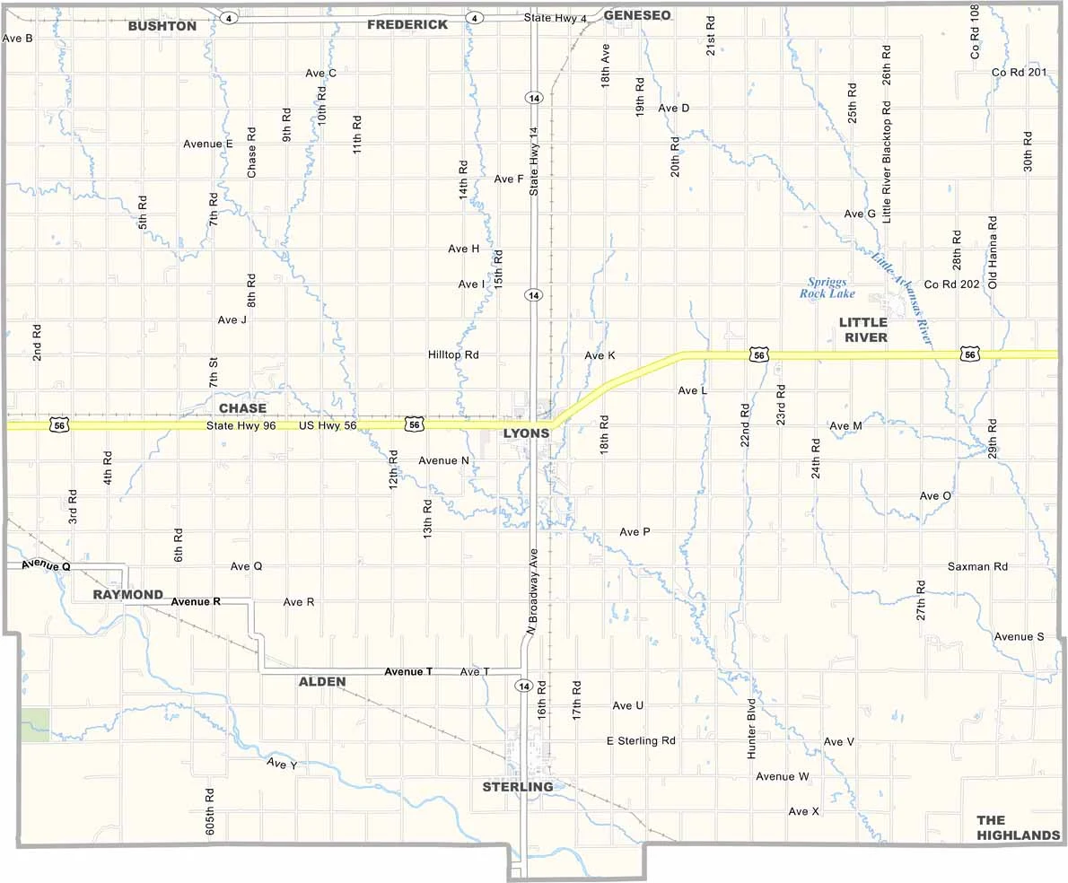
Lyons, the county seat, is a friendly community with a rich agricultural history. U.S. Highway 56 runs through the county, providing a route for travelers heading east or west.

With about 9,500 residents, Rice County is a place where farming is king. Wheat, corn, and soybeans dominate the landscape. But it’s not all work and no play. Quivira National Wildlife Refuge offers incredible birdwatching and a peaceful escape into nature.
CategoryDetails
County NameRice County
County SeatLyons
EtymologyNamed in honor of Samuel A. Rice, prominent Union Civil War general
Cities, Towns, and CommunitiesLyons, Sterling, Alden, Chase, and several smaller communities
Interstates and HighwaysU.S. Highway 56, U.S. Highway 281, K-96
FIPS Code20-159
Total Area (Land and Water)1,230 square miles (land: 1,229 sq mi, water: 1 sq mi)
Adjacent Counties (and Direction)Ellsworth County (North), McPherson County (East), Reno County (South), Stafford County (Southwest), Barton County (Northwest)
Time ZoneCentral Time Zone (CST)
Population9,500
StateKansas
Coordinates38.33°N, 98.22°W
Major LandmarksRice County Historical Society Museum, Lyons Main Street Historic District, and Sterling College.
Scroll to Top