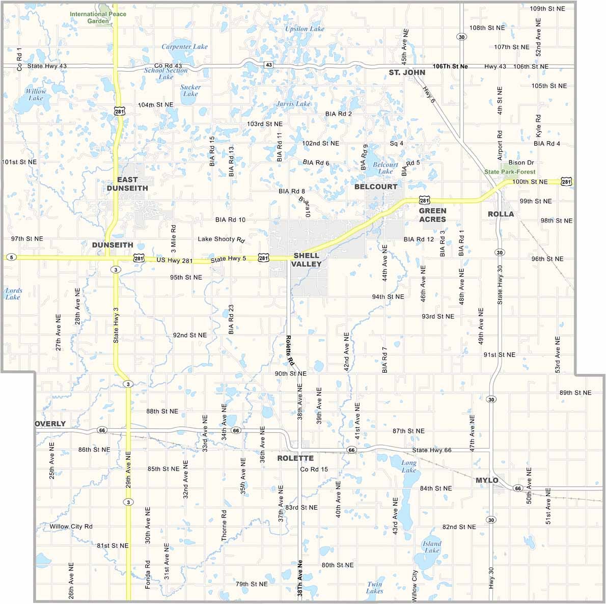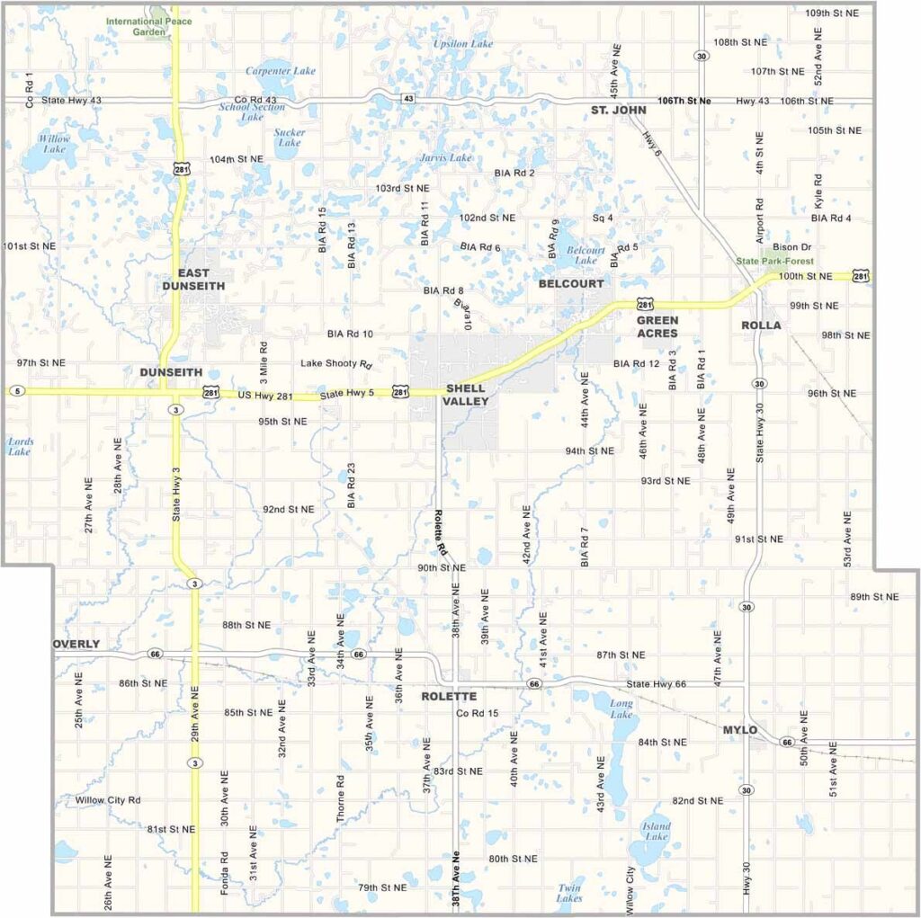
Rolette County Map, North Dakota

Rolette County, North Dakota

Native American culture thrives in Rolette County, which sits in north-central North Dakota, right up against the Canadian border. Rolla serves as the county seat.

The county is home to the Turtle Mountain Band of Chippewa Indians. In the northwest, the International Peace Garden stands as a symbol of friendship between the U.S. and Canada.

Agriculture and tourism drive the local economy. The landscape is a mix of rolling hills and forests, and hunting and fishing are popular pastimes. People here are working hard to build a brighter future.
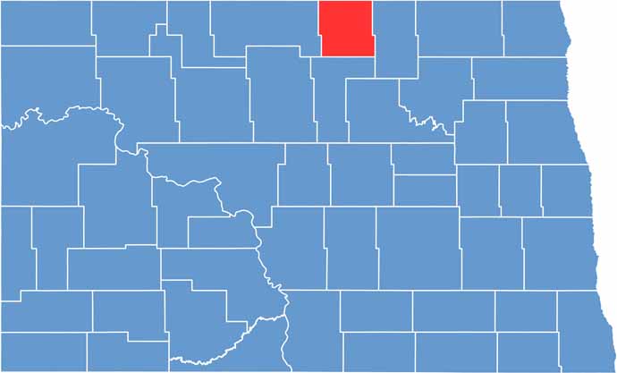
Rolette County location map of North Dakota
CategoryDetails
County NameRolette County
County SeatRolla
EtymologyNamed after Joseph Rolette, Jr., a fur trapper
Cities, Towns, and CommunitiesRolla, Dunseith, St. John, Rolette
Interstates and HighwaysNorth Dakota Highway 30, North Dakota Highway 5
FIPS Code38-079
Total Area1,915 square miles (land and water)
Adjacent CountiesTowner County (East), Pierce County (South), Bottineau County (West)
Time ZoneCentral Time Zone
StateNorth Dakota
Coordinates48.8397° N, 100.4473° W
Major LandmarksTurtle Mountains, International Peace Garden
PopulationApproximately 13,000
Scroll to Top