
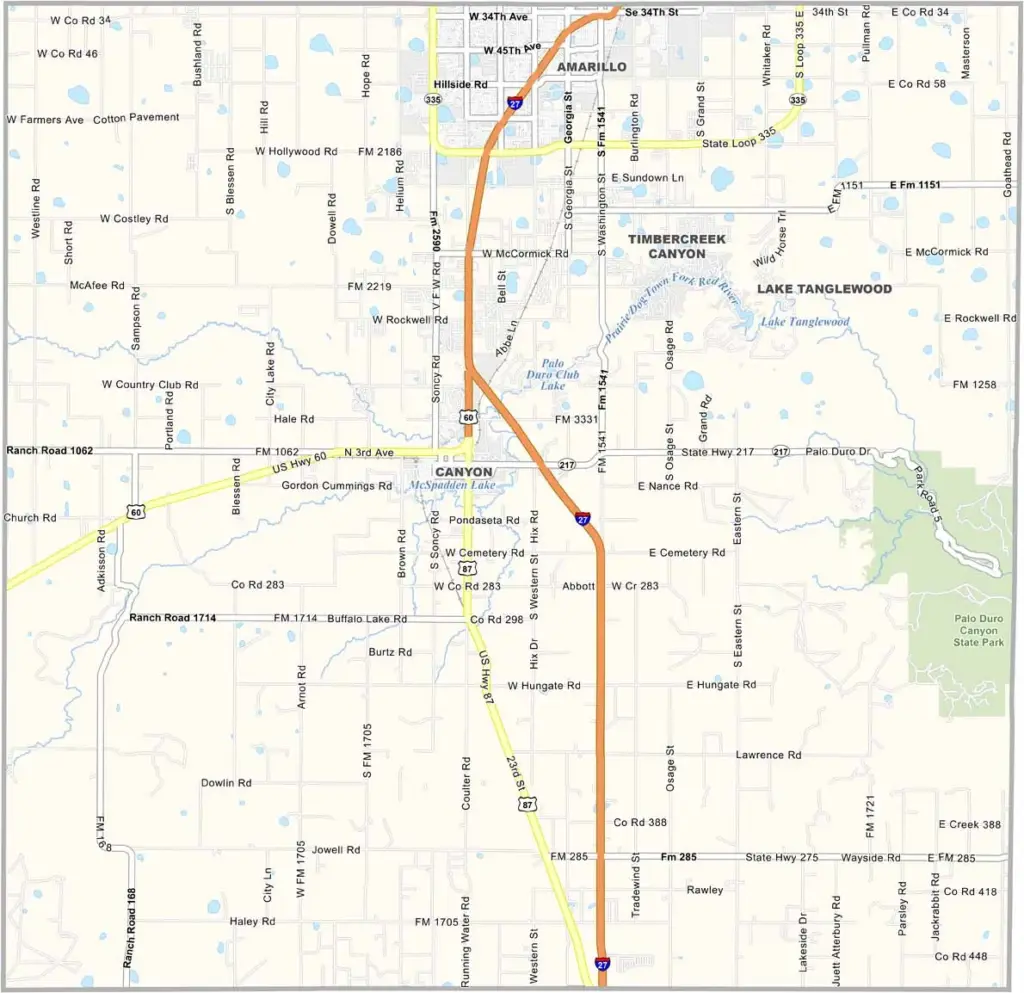
The Texas Panhandle is home to Randall County, where wide-open skies meet endless prairie. Canyon serves as the county seat and is home to West Texas A&M University.
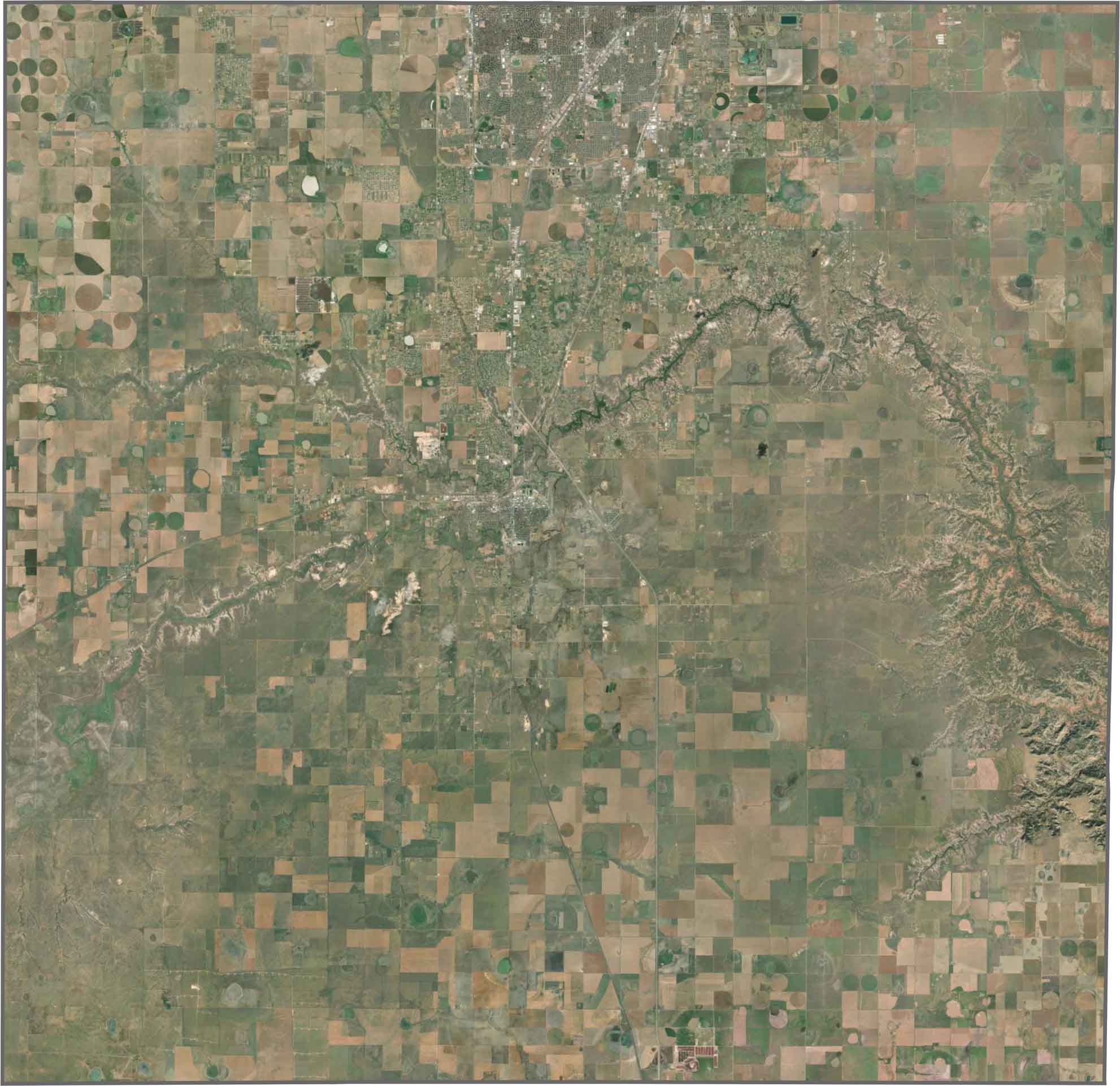
It’s not all flat, though. Palo Duro Canyon, the second-largest canyon in the United States, cuts through the eastern part of the county. Locals enjoy hiking among its colorful rock formations. Amarillo, the region’s largest city, extends into Randall County from the north.
Ranching remains big business here. You can often spot cowboys tending cattle across the sprawling ranches. The county is named after Horace Randal, a Confederate brigadier general. The funny part? His name was misspelled when the county was named. Oh well. It stuck.
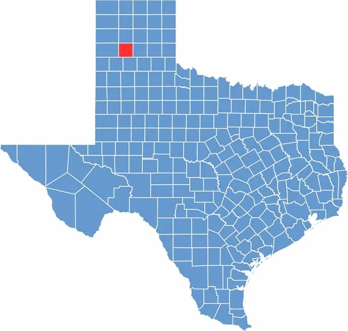
Randall County is known for Palo Duro Canyon, which cuts across the southeastern part of the county. Much of the land is flat and treeless, but the canyon changes the landscape completely. It’s Texas’s answer to the Grand Canyon, just with a lot more orange.
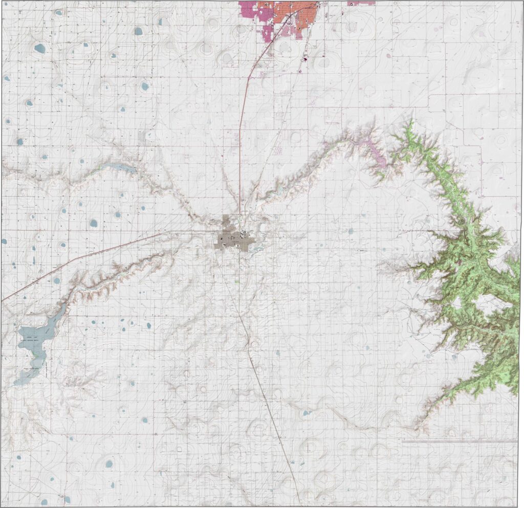
The county has strong north-south connections, with I-27 running straight through Amarillo. But that’s only part of the story. Rural roads branch off in every direction, with some gradually climbing toward the canyonlands while others stretch across the grasslands. Use our zoomable map to explore each route in detail.
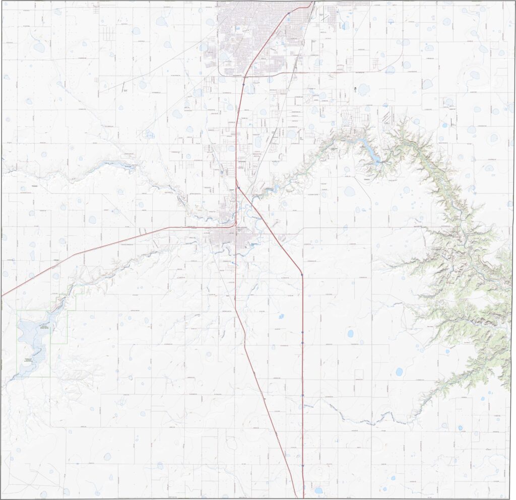
Palo Duro Canyon stands out immediately from above. Beyond it, the landscape forms a checkerboard of farmland, with suburban development spreading around Amarillo. Even so, large areas remain open and untouched.
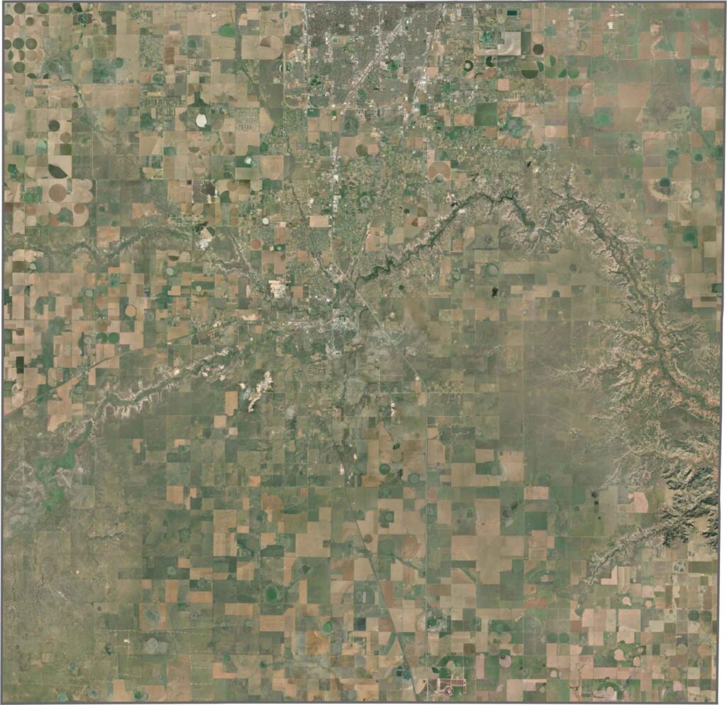
Randall County has a mostly square shape with relatively straight boundaries. No major river forms its borders, and it doesn’t share a border with any other state.







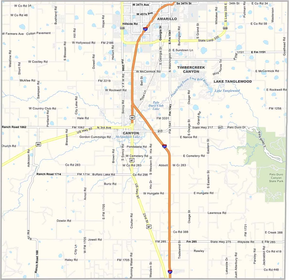
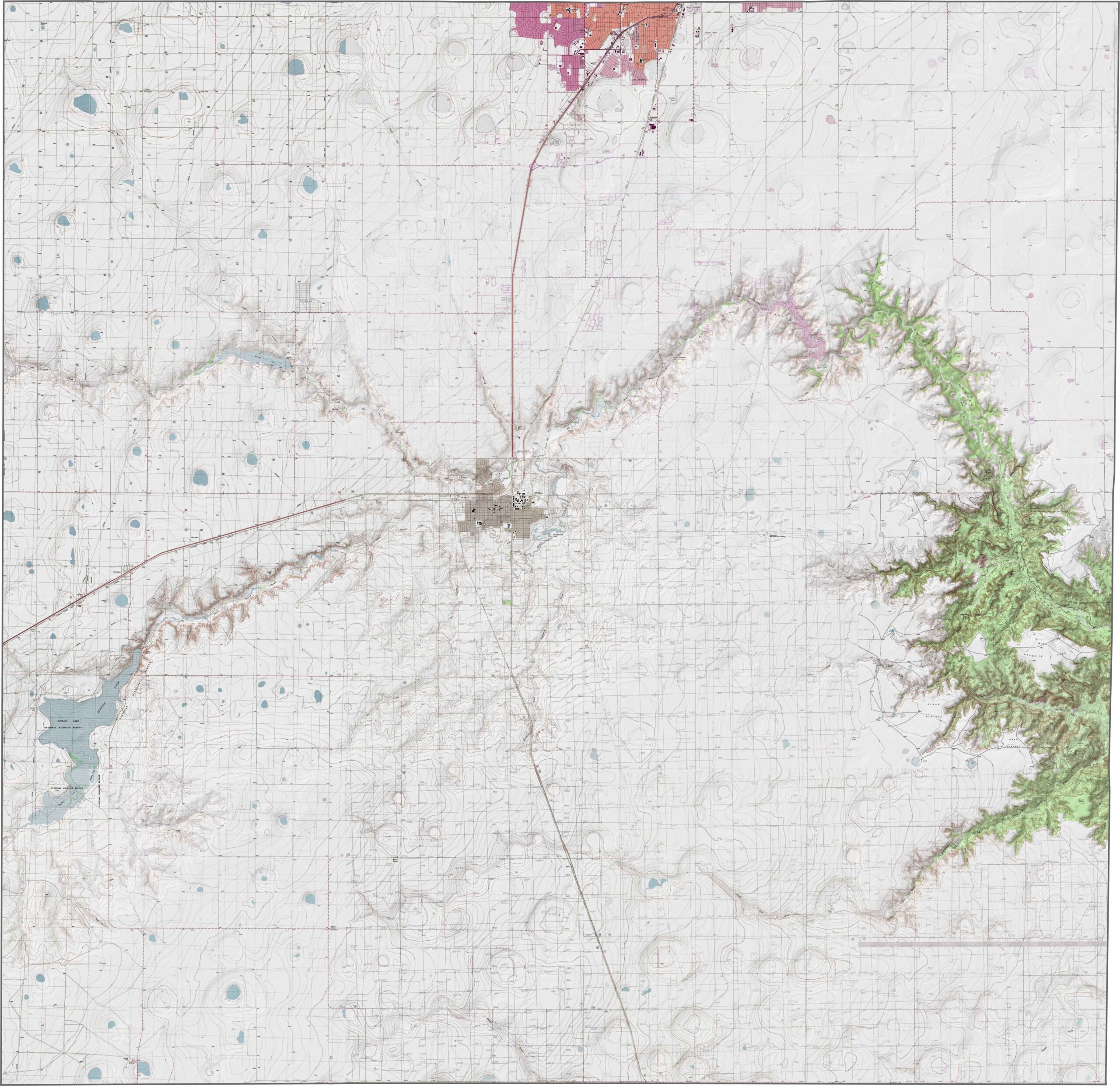
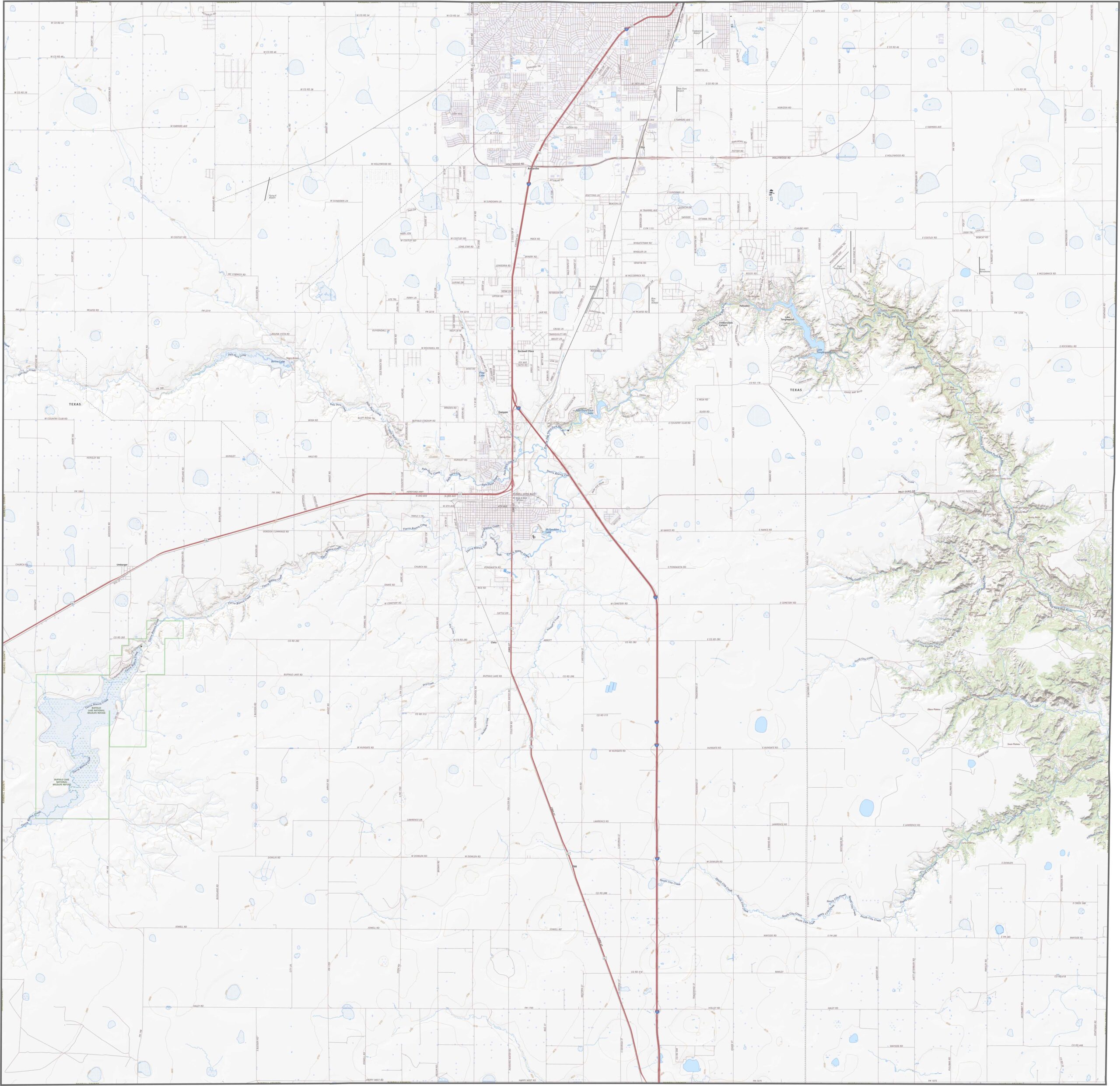


Discover all 254 legendary Texas county maps, covering the Lone Star State from the Panhandle to the Rio Grande. That means more rodeos, honky-tonk, and Texas BBQ.