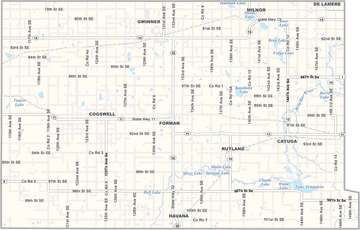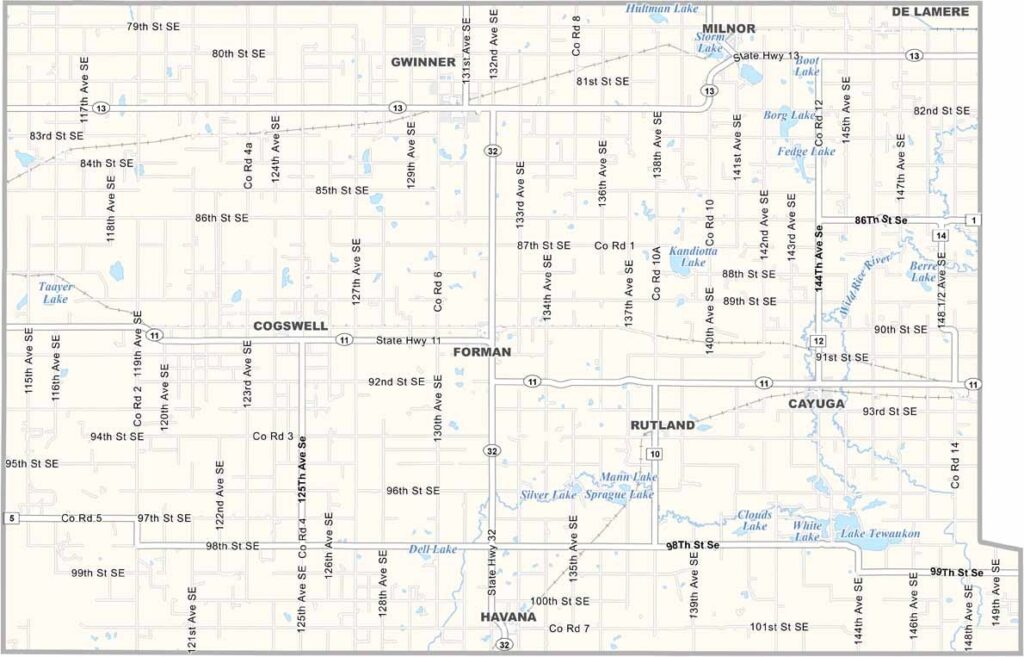
Sargent County Map, North Dakota

Sargent County, North Dakota

Sargent County sits near the southeastern corner of North Dakota, where the prairie stretches far and wide. Farmers here grow everything from soybeans to sunflowers.

Forman, the county seat, lies in the central region of the county. The county has a rich history that dates back to its founding in 1883.

Fishing is popular at Lake Tewaukon, a local hotspot, though there are plenty of other small lakes to explore. Small businesses thrive in the communities here, and there's a strong sense of neighborliness, where kids still ride bikes down quiet streets.
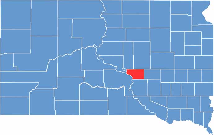
Buffalo County location map of South Dakota
CategoryDetails
County NameSargent County
County SeatForman
EtymologyNamed in honor of H. E. Sargent, who was an official of the Northern Pacific Railroad.
Cities, Towns, and CommunitiesForman, Gwinner, Milnor, Rutland
Interstates and HighwaysNorth Dakota Highway 11, North Dakota Highway 32
FIPS Code38-081
Total Area1,201 square miles (land and water)
Adjacent CountiesRansom County (North), Richland County (East), Roberts County, South Dakota (Southeast), Marshall County, South Dakota (South), Brown County, South Dakota (Southwest), Dickey County (West)
Time ZoneCentral Time Zone
StateNorth Dakota
Coordinates46.3071° N, 97.5310° W
Major LandmarksSargent County Historical Museum, Fort Ransom State Park
PopulationApproximately 3,700
Scroll to Top