
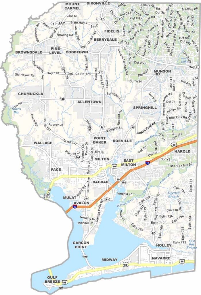
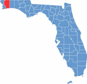
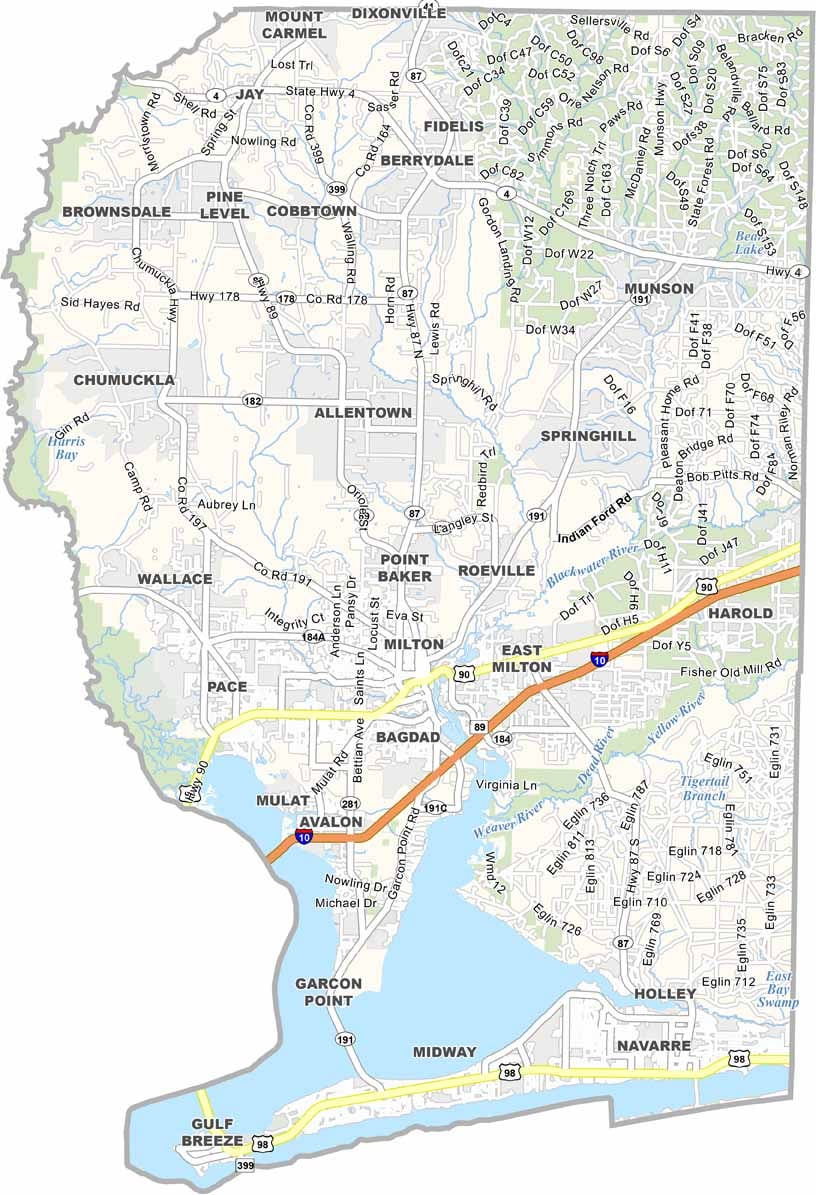
Santa Rosa County is located in the western Florida Panhandle, between Pensacola and Fort Walton Beach. Milton serves as the county seat and is known for its quaint downtown along the Blackwater River. The county offers a quieter coastal experience while remaining close to some of the region’s most popular destinations.
Navarre Beach is a major attraction, known for its sugar-white sand and clear Gulf waters. The county also has a strong military presence because of nearby military installations. Coastal communities transition into extensive inland forests, with Blackwater River State Forest providing opportunities for camping, hiking, kayaking, and other outdoor activities. Gulf Breeze offers suburban living with convenient access to the beaches.
Santa Rosa County continues to grow while maintaining a relaxed atmosphere and strong sense of community. Fresh seafood, Southern hospitality, and abundant outdoor recreation are part of everyday life here. From paddleboarding along the coast to hiking through pine forests, the county offers a mix of beach and inland experiences without the feel of a heavily developed tourist destination.
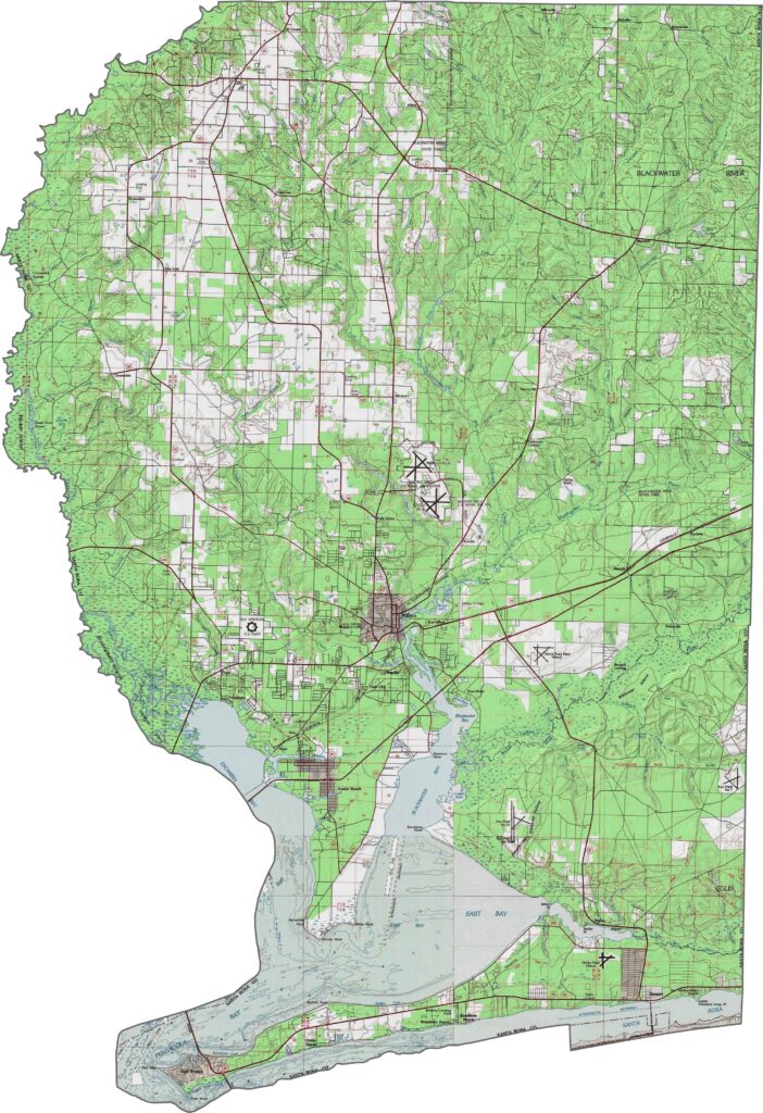
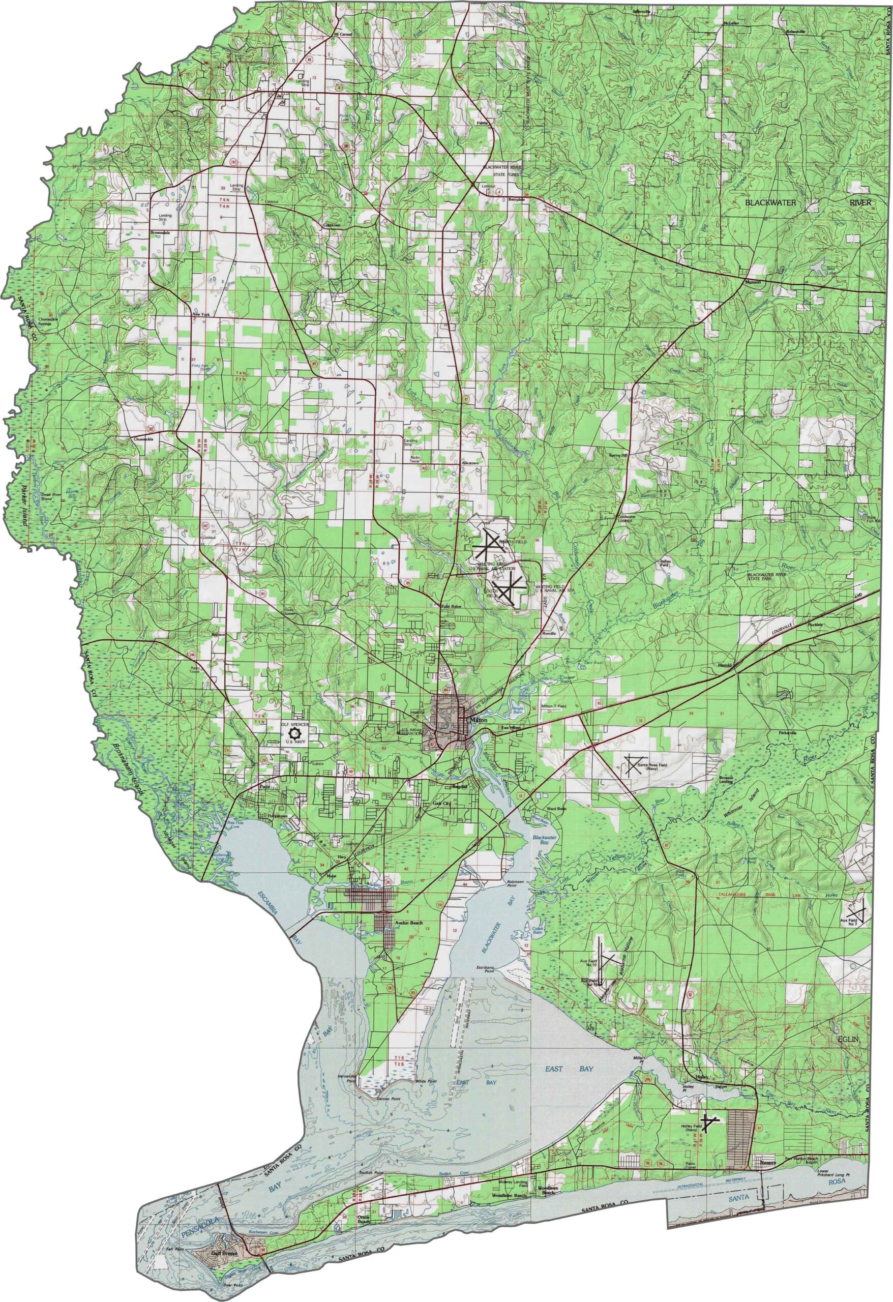
Our topographic map of Santa Rosa County highlights the county’s changing elevations from the Gulf Coast to the inland forests. Blackwater River State Forest covers much of the northern hills, creating a contrast with the flatter coastal areas around Navarre Beach.
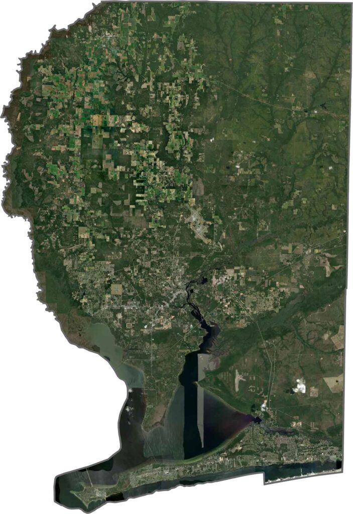
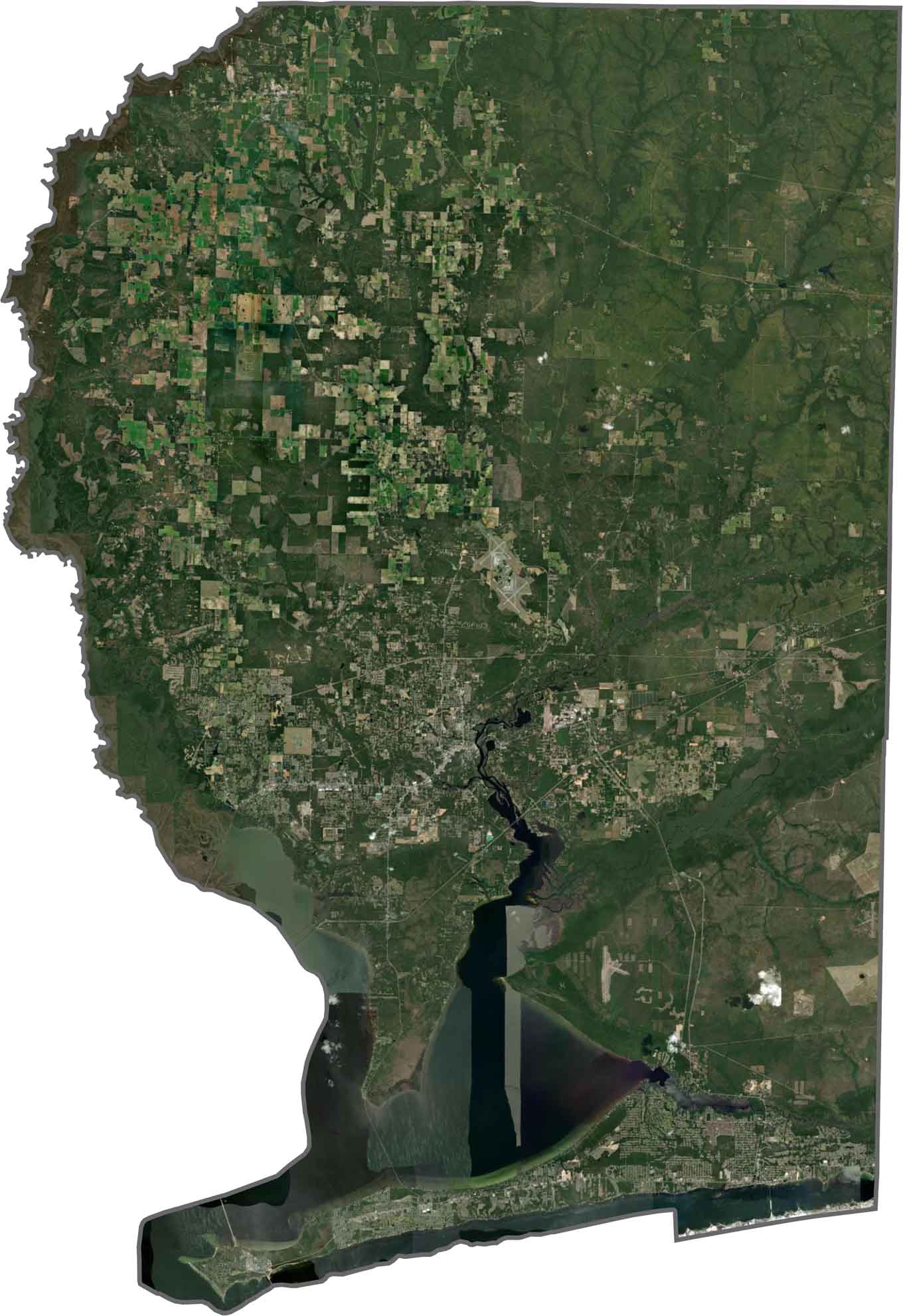
This satellite map shows the Blackwater River basin covering much of the northern half of the county. Milton sits near the center, where the river widens, while Pensacola Bay forms a large blue area along the western edge.
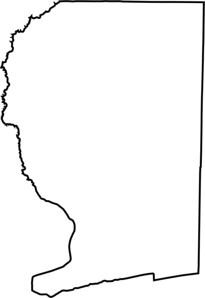
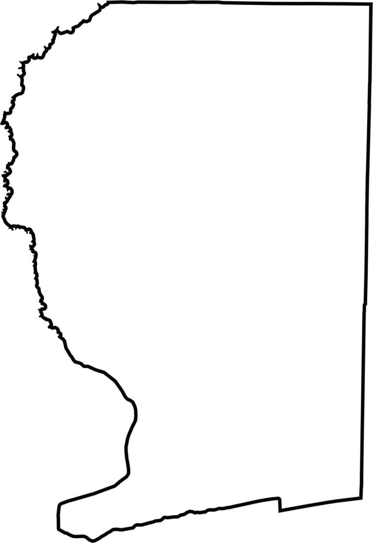
Our blank map of Santa Rosa County shows its elongated shape stretching from the Alabama border south toward the Gulf Coast. Escambia Bay forms much of the western boundary, while the county becomes noticeably narrower toward its southern end.







Looking to find a county map of Florida? Our Florida county map breaks down all 67 counties. Explore the Sunshine State with detailed topographic, satellite, and outline maps.