
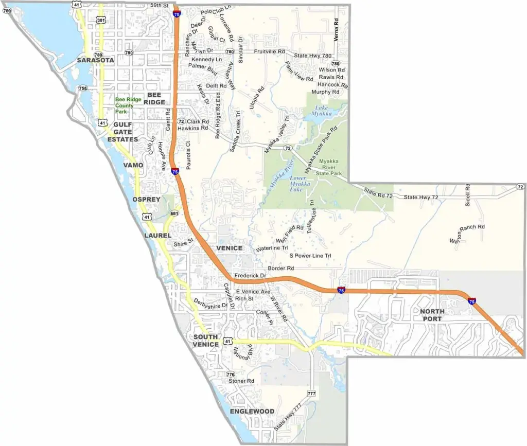
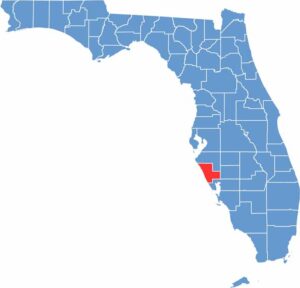
Sarasota County is located along Florida’s Gulf Coast and is known for its beaches, cultural attractions, and high quality of life. Sarasota serves as the county’s cultural hub, with museums, performing arts, and a thriving arts scene.
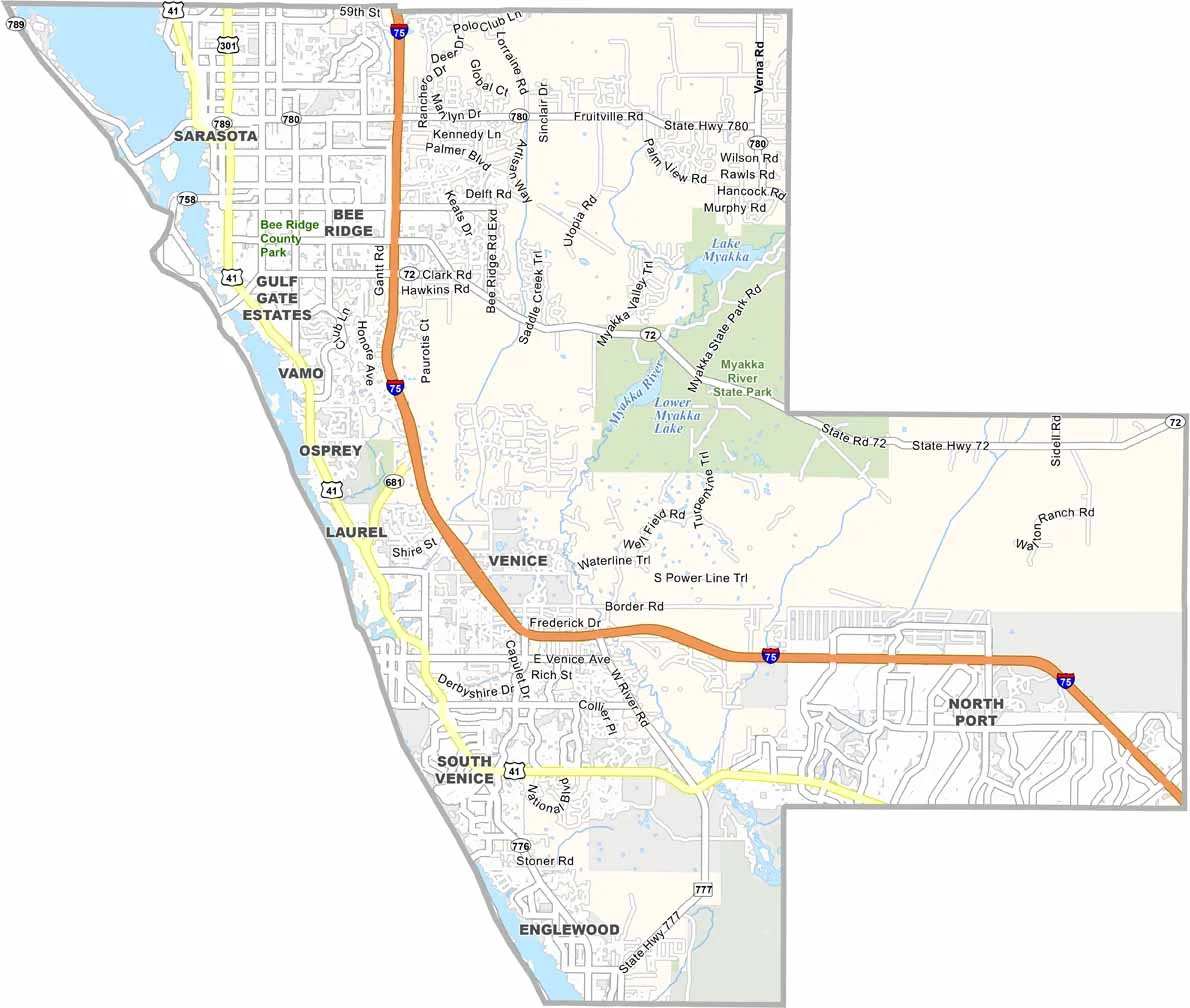
Siesta Key Beach is famous for its soft, white sand, while Venice is known for beaches where visitors can find fossilized shark teeth. The Legacy Trail provides miles of opportunities for biking and walking, while Myakka River State Park offers a glimpse of wild Florida with wetlands, wildlife, and airboat rides.
The Ringling Museum highlights the area’s long connection to circus history. Sarasota County also has a diverse food scene, ranging from upscale restaurants to traditional waterfront fish shacks. As the area continues to grow, the county balances new development with efforts to preserve its natural and cultural character.
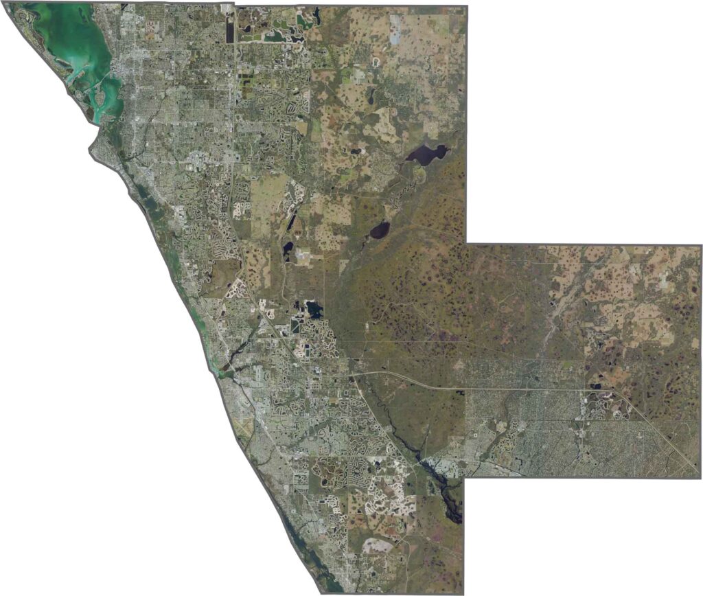
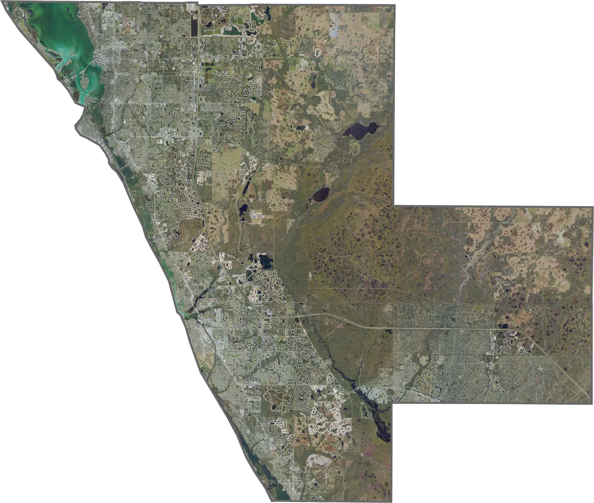
This satellite map highlights the contrast between Sarasota County’s coastal and inland landscapes. Barrier islands such as Siesta Key and Longboat Key stand out from the mainland, while suburban development gradually gives way to state parks, conservation areas, flatwoods, and wetlands. Use our zoom tool to explore the developed and natural areas in greater detail.
This blank map shows Volusia County’s irregular triangular shape, extending from the Atlantic Ocean to the St. Johns River. The coastline forms a smooth eastern edge, while the western boundary follows natural waterways and wetlands. The outline clearly highlights the county’s transition from coastal communities to inland landscapes.
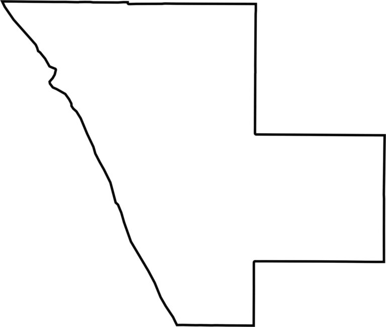
Our blank map shows Sarasota County as a coastal area with a broad western edge along the Gulf of Mexico. Its boundaries follow a combination of waterways and inland conservation areas, creating a slightly irregular outline with both straight and curved edges.








Looking to find a county map of Florida? Our Florida county map breaks down all 67 counties. Explore the Sunshine State with detailed topographic, satellite, and outline maps.