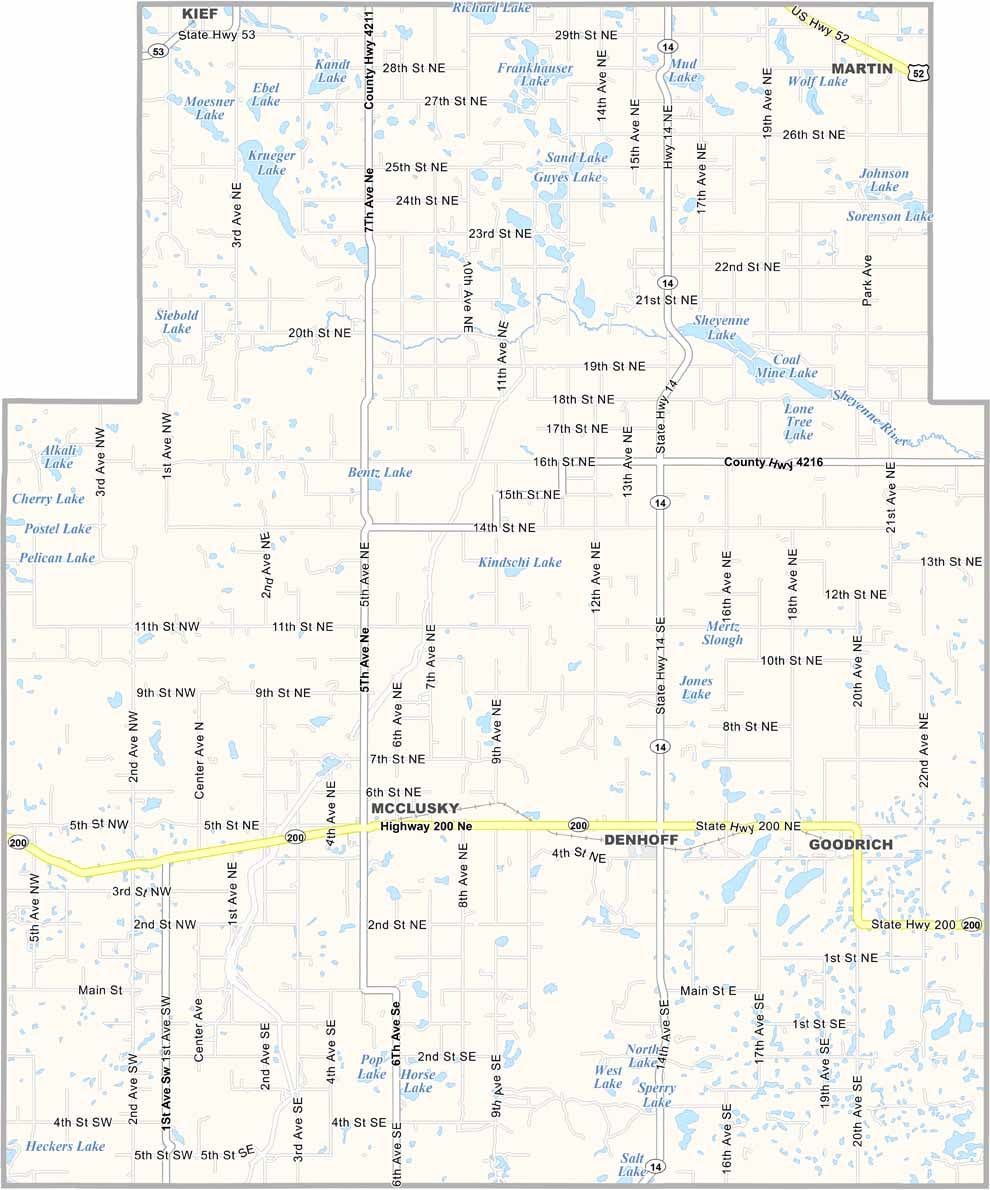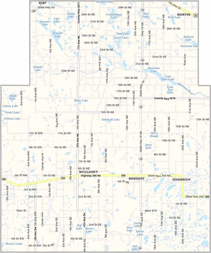
Sheridan County Map, North Dakota

Sheridan County, North Dakota

Sheridan County lies in the heart of North Dakota. It may not be the biggest county, but it's an important one. McClusky serves as the county seat.

Locals take pride in their German-Russian heritage, and you'll find some of the friendliest folks around. The county has seen its share of ups and downs.

Agriculture is the backbone of the economy, and prairie chickens still dance on the grasslands each spring. There's a certain charm to the wide-open spaces, and people here know the value of hard work and community.
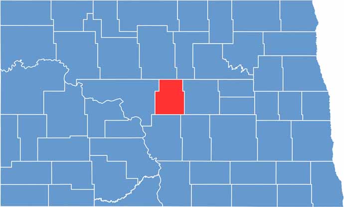
Sheridan County location map of North Dakota
CategoryDetails
County NameSheridan County
County SeatMcClusky
EtymologyNamed after Philip Henry Sheridan
Cities, Towns, and CommunitiesMcClusky, Martin, Goodrich, Tuttle
Interstates and HighwaysNorth Dakota Highway 14, North Dakota Highway 21
FIPS Code38-083
Total Area1,435 square miles (land and water)
Adjacent CountiesMcHenry County (North), Pierce County (Northeast), Wells County (East), Kidder County (Southeast), Burleigh County (South), McLean County (West)
Time ZoneCentral Time Zone
StateNorth Dakota
Coordinates47.4066° N, 100.5693° W
Major LandmarksSheridan County Historical Museum, Lake Elsie
PopulationApproximately 1,600
Scroll to Top