
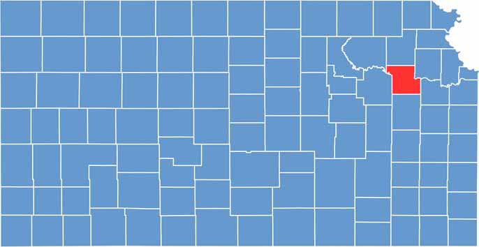
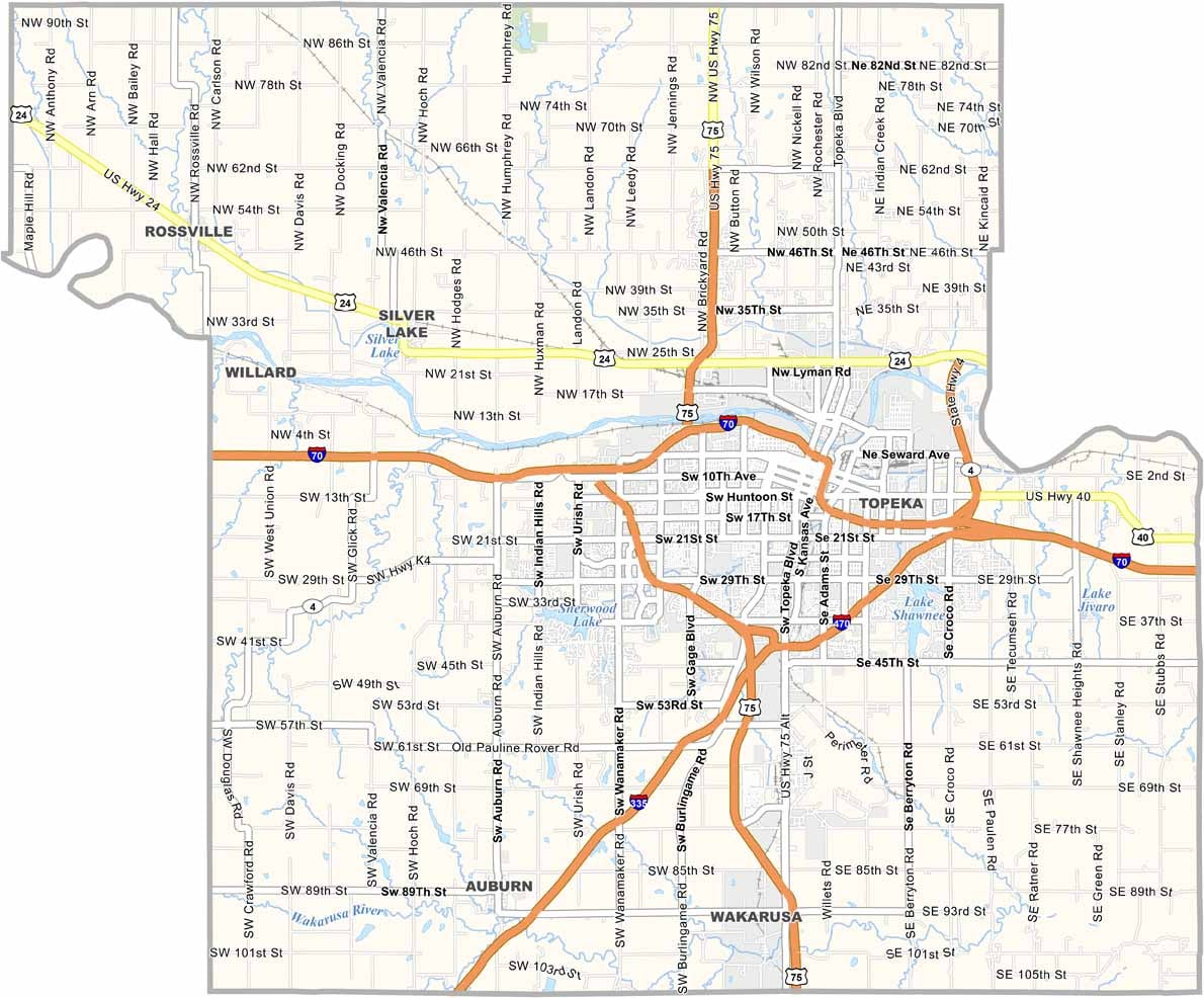
Shawnee County is located in northeast Kansas and is home to Topeka, the state capital. As the center of state government, Topeka brings significant government activity and public-sector influence to the county.
The county offers greater diversity and job opportunities than many other parts of Kansas. Lake Shawnee is a popular recreational destination, providing opportunities for fishing, boating, and relaxing in a scenic outdoor setting.
Shawnee County also features attractions such as the Gage Park mini-train and the NOTO Arts District, adding cultural and family-friendly experiences to the area. Overall, the county offers a balanced mix of urban and suburban communities.
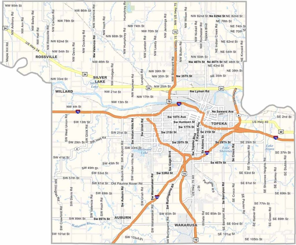
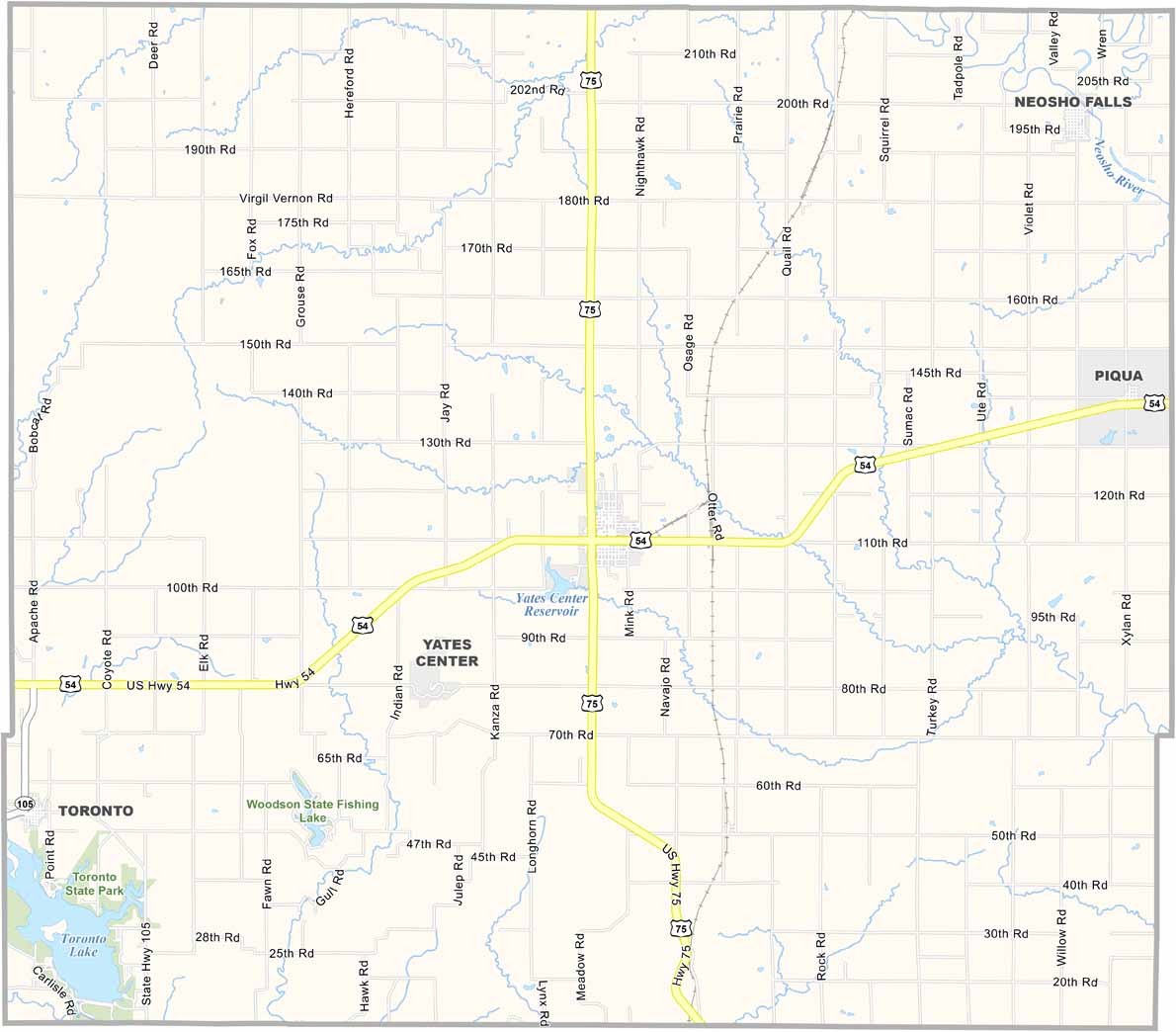
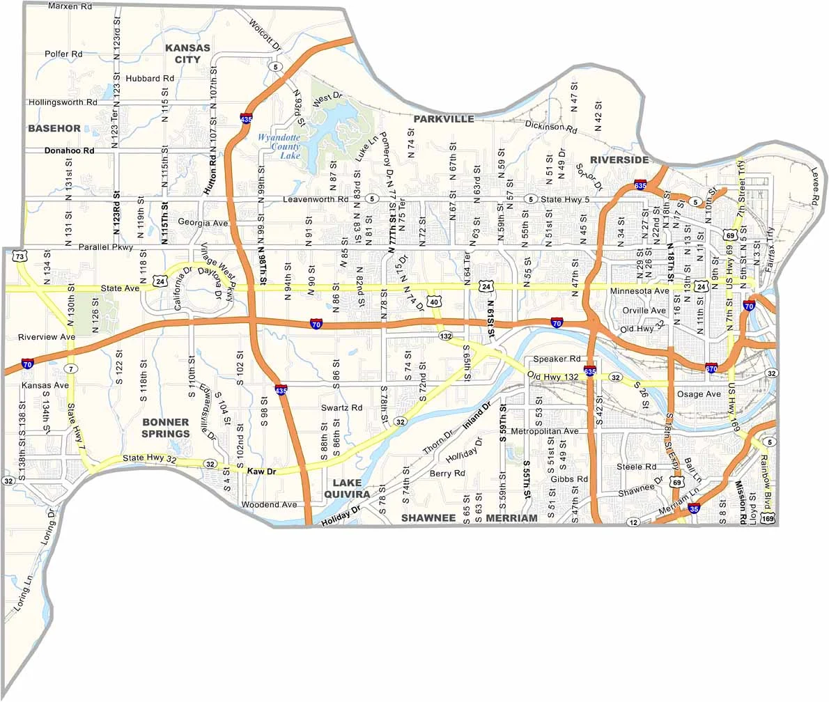
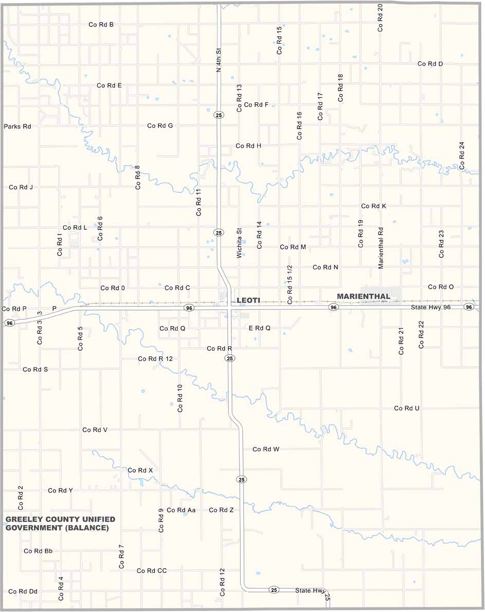
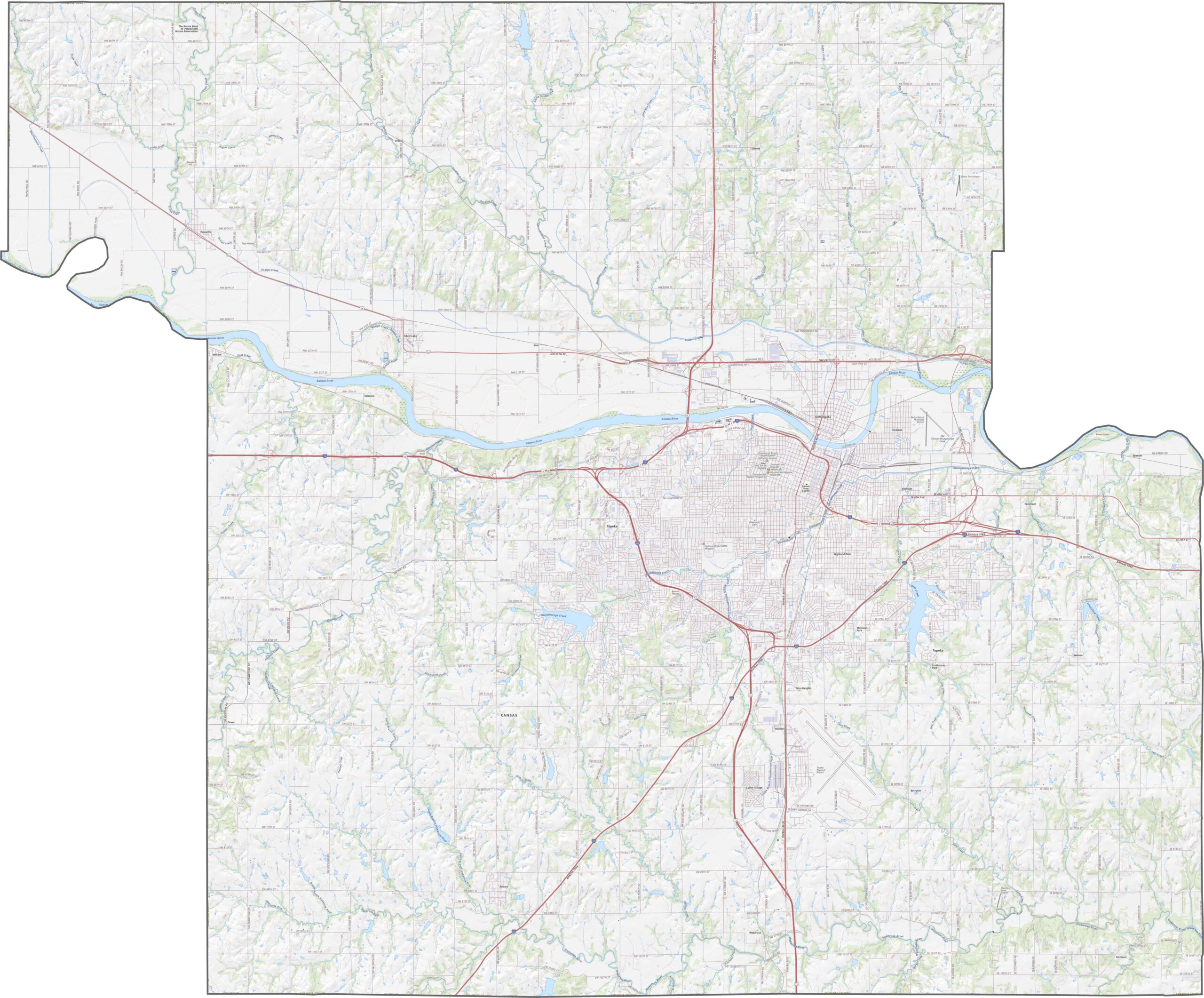
Shawnee County’s roads follow a mix of straight grid patterns and winding routes. I-70 runs east-west through the county, while U.S. Highway 75 travels north-south. County roads vary from gravel roads to paved routes, and while Topeka’s streets can be busy, the rural lanes remain peaceful and quiet. Use our zoom tool to explore the map and see these details more closely.
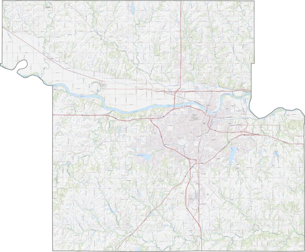
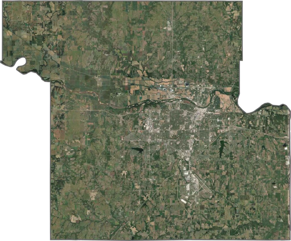
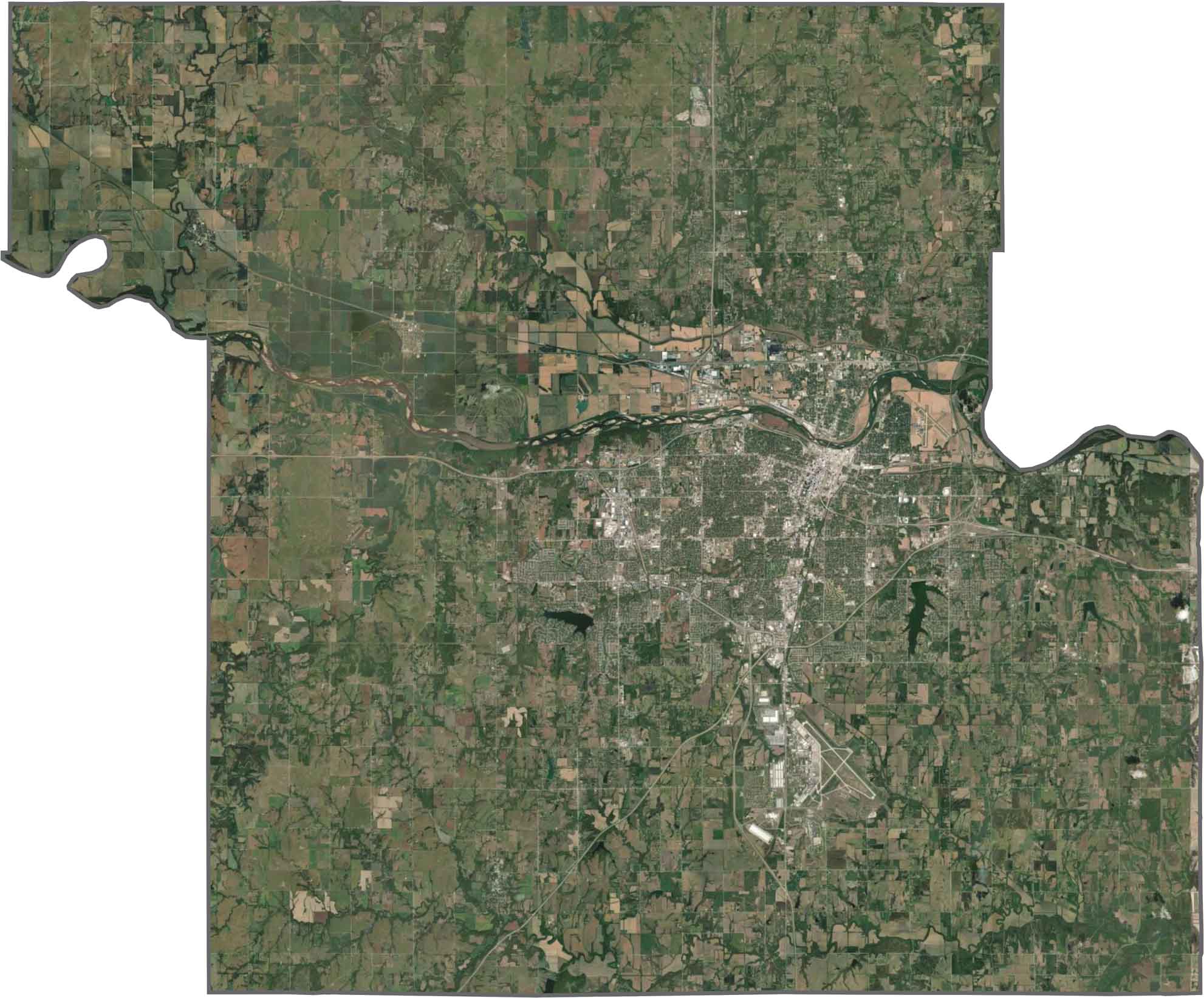
Topeka’s urban core is filled with streets, buildings, and developed areas. Beyond the city, the landscape opens into broad farmland and rolling hills. The Kansas River curves through the county, while straight crop lines become clearly visible across the surrounding rural areas.
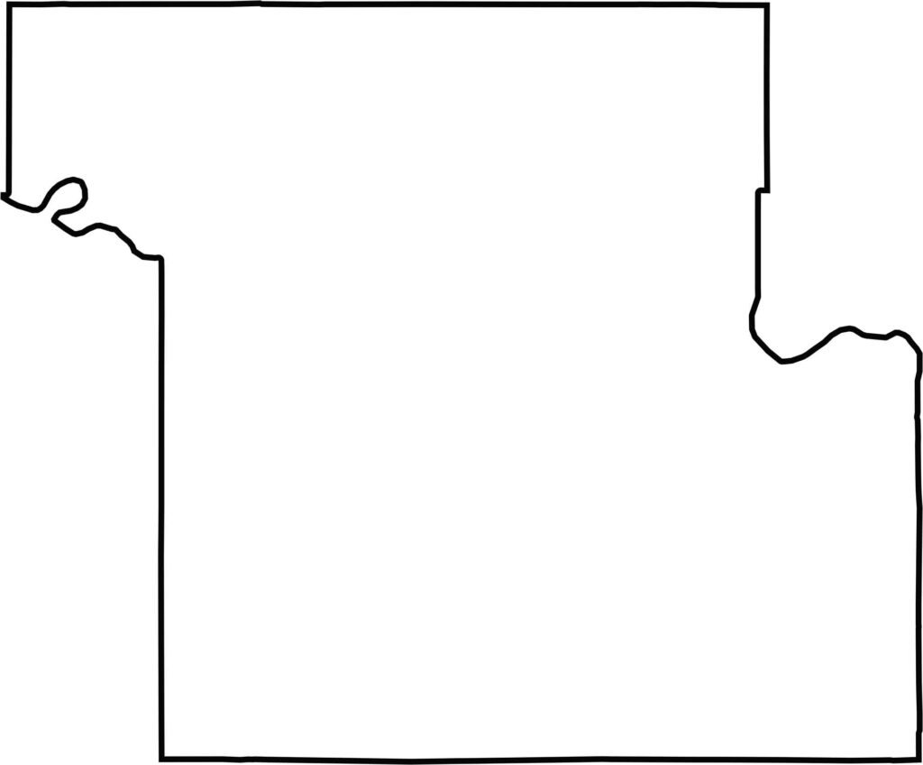
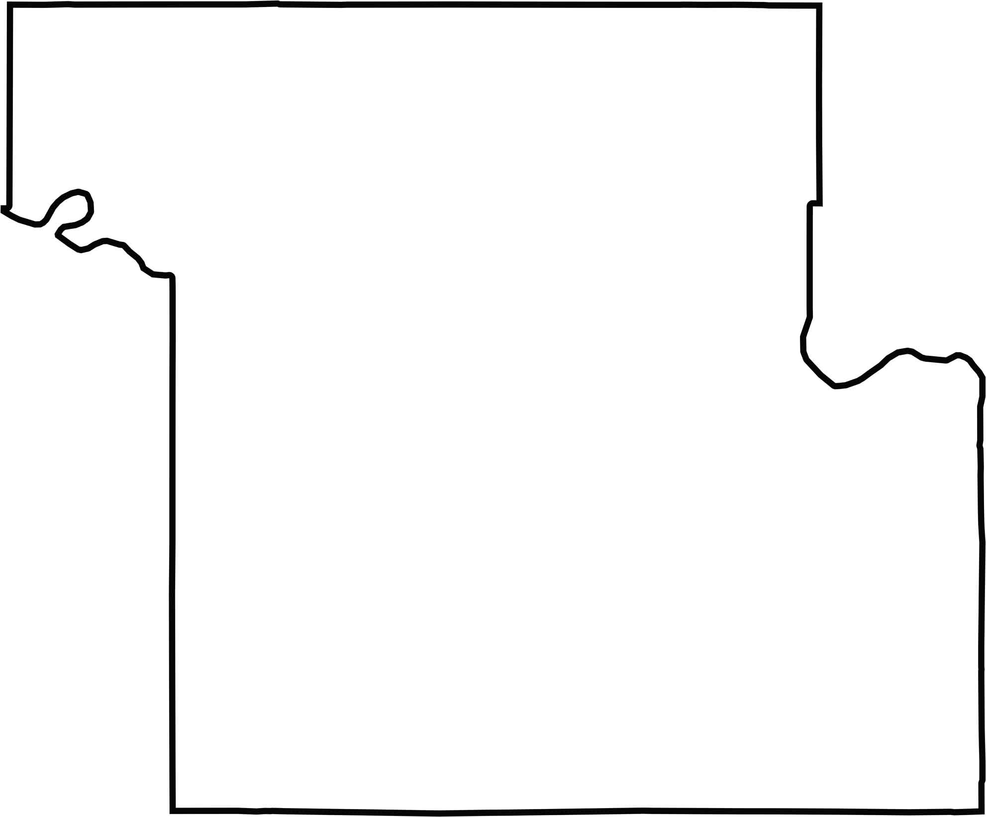
Shawnee County has an irregular outline, with jagged edges along both its western and eastern sides. The Kansas River forms portions of both the county’s western and eastern boundaries, adding a distinctive feature to its overall shape.
Flat? Only to the distracted. In Kansas, the horizon isn’t the end—it’s the beginning. Slow down, listen closely, and discover the wide-open landscapes, hidden stories, and quiet charm that make the Sunflower State worth exploring. The middle of everything has plenty of stories to tell.