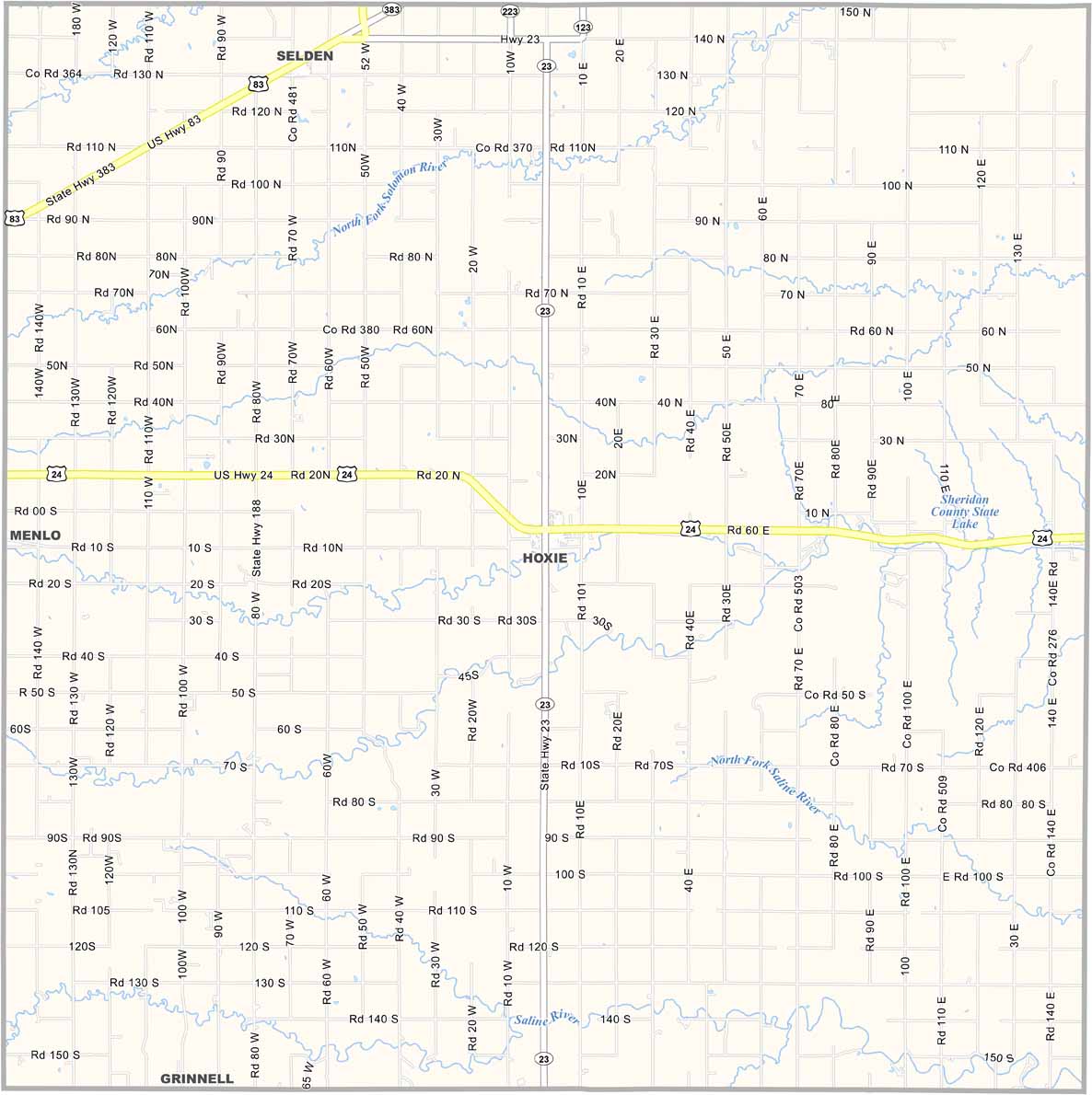
Sheridan County, Kansas

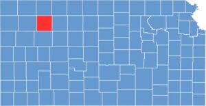
Sheridan County is located in northwest Kansas, with Hoxie serving as the county seat. It’s a pretty rural area, with mostly flat farmland. Wheat farming is a major part of the local economy, along with some cattle ranching.

The county has a couple of nice fishing spots, including Sheridan State Fishing Lake. Sheridan County is also known for its friendly, no-fuss atmosphere.

You won’t find a lot of frills here, but you will find good people and beautiful sunsets. U.S. Highway 24 runs through the county, providing a straight shot across the plains.
CategoryDetails
County NameSheridan County
County SeatHoxie
EtymologyNamed after the Kansas politician and Civil War soldier, General Philip H. Sheridan.
Cities, Towns, and CommunitiesHoxie (county seat), Selden, and Monarch
Interstates and HighwaysU.S. Highway 283, U.S. Highway 24
FIPS Code20-179
Total Area (Land and Water)1,347 square miles (land: 1,344 sq mi, water: 3 sq mi)
Adjacent Counties (and Direction)Decatur County (North), Norton County (Northeast), Graham County (East), Gove County (South), Thomas County (West)
Time ZoneCentral Time Zone (CST)
Population2,400
StateKansas
Coordinates39.38°N, 100.32°W
Major LandmarksSheridan County Historical Society Museum, Prairie Dog State Park
Scroll to Top