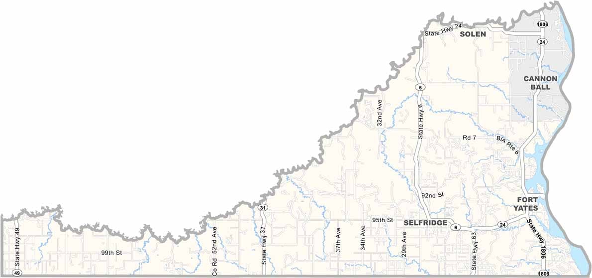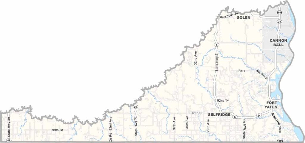
Sioux County Map, North Dakota

Sioux County, North Dakota

Sioux County stretches across the southern border of North Dakota and is home to the Standing Rock Indian Reservation. This land has witnessed centuries of Native American history.

Fort Yates, perched on the Missouri River, serves as the county seat. The Cannonball River, the other major waterway here, forms the northern boundary. Bison once roamed these plains in massive herds.

Today, efforts are underway to restore the land to its natural state. The county faces challenges but remains resilient, and community is everything here. Pow wows bring people together in celebration.
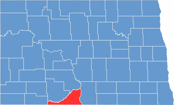
Sioux County location map of North Dakota
CategoryDetails
County nameSioux County
County seatFort Yates
EtymologyNamed after the Sioux people, who are native to the region
Cities, towns, and communitiesFort Yates, Cannon Ball, Porcupine, Selfridge, Solen
Interstates and highwaysNorth Dakota Highway 24, North Dakota Highway 6, North Dakota Highway 1806
FIPS code38-085
Total area (land and water)1,128 square miles (Land: 1,094 sq mi, Water: 34 sq mi)
Adjacent counties (and direction)Morton County (North), Emmons County (East), Corson County, South Dakota (South), Adams County (West), Grant County (Northwest)
Time zoneCentral Time Zone (CT)
StateNorth Dakota
Coordinates46.0899° N, 100.6345° W
Major landmarksStanding Rock Reservation, Sitting Bull Memorial, Prairie Knights Casino & Resort
PopulationApproximately 4,300
Scroll to Top