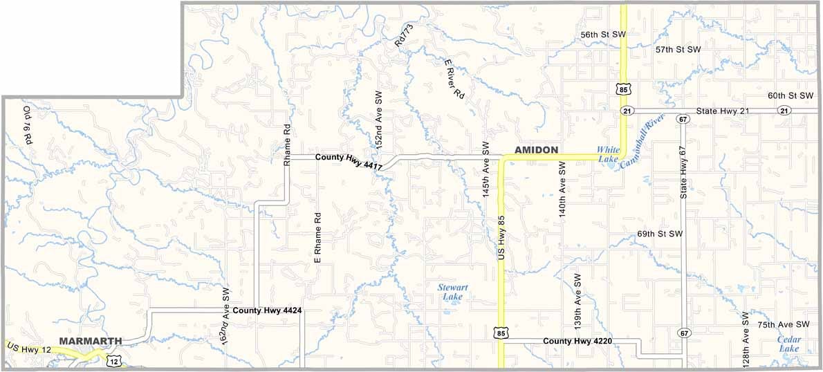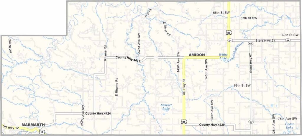
Slope County Map, North Dakota

Slope County map of North Dakota

Slope County, North Dakota

The Badlands paint a stunning backdrop across Slope County in southwestern North Dakota. It's one of the least populous counties in the state, and Amidon, with just a handful of residents, proudly holds the title of county seat.

Ranching is a way of life here, and the landscape tells a story of geological wonder. Fossil hunters come from far and wide to explore it.

If you're lucky, you might spot a pronghorn antelope. There's a rugged beauty to this place. It's not for everyone, but those who call it home wouldn't have it any other way.
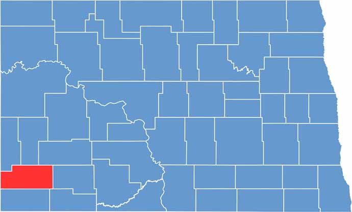
Slope County location map of North Dakota
CategoryDetails
County NameSlope County
County SeatAmidon
EtymologyNamed after the slope of the land
Cities, Towns, and CommunitiesAmidon, Marmarth, Capitol, New England
Interstates and HighwaysNorth Dakota Highway 21, North Dakota Highway 85
FIPS Code38-087
Total Area1,266 square miles (land and water)
Adjacent CountiesBillings County (North), Stark County (Northeast), Hettinger County (East), Adams County (Southeast), Bowman County (South), Fallon County, Montana (West), Golden Valley County (Northwest)
Time ZoneMountain Time Zone
StateNorth Dakota
Coordinates46.0696° N, 103.4651° W
Major LandmarksTheodore Roosevelt National Park, Slope County Historical Museum
PopulationApproximately 700
Scroll to Top