
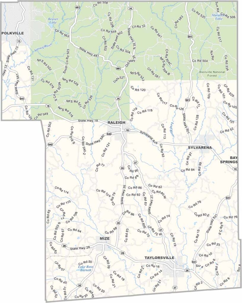
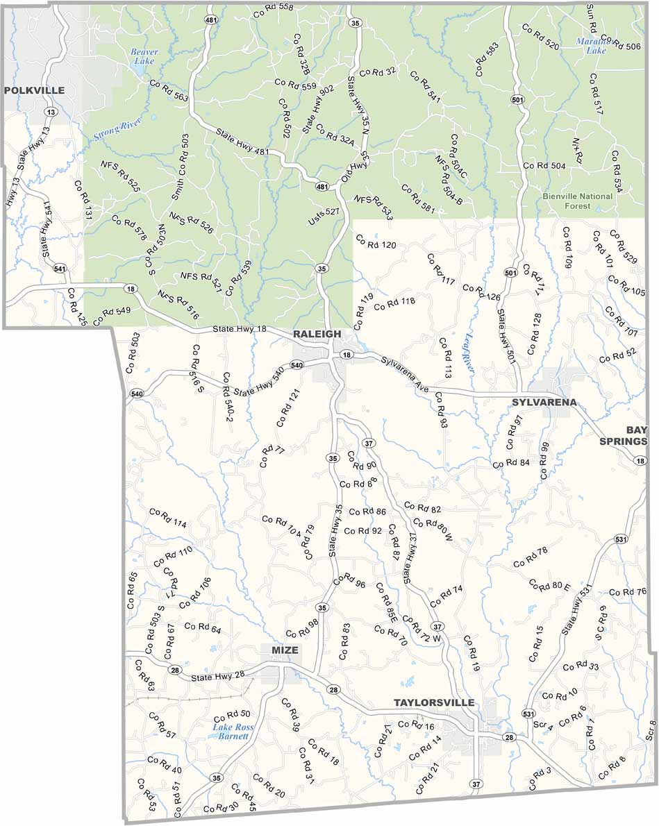
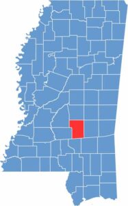
If you're looking for a piece of genuine Mississippi life, look no further than Smith County. It sits right in the middle of the state, about an hour's drive southeast of Jackson.
Raleigh is the county seat, but don't expect any skyscrapers. The mighty Strong River cuts through the county, and locals find plenty of spots for fishing and kayaking. Folks are friendly here.
You'll find more trees than people, with towering pines and hardwoods everywhere you look. Agriculture is still key, with chicken farms and cattle ranches scattered across the rolling hills. The Bienville National Forest takes up a good chunk of the north.

Mississippi Counties
Rankin County Map Download Mississippi – Outline Map and Blank Map

Mississippi Counties
Madison County Map Download Mississippi – Outline Map and Blank Map

Mississippi Counties
Jackson County Map Download Mississippi – Outline Map and Blank Map

Mississippi Counties
Hinds County Map Download Mississippi – Outline Map and Blank Map

Mississippi Counties
Harrison County Map Download Mississippi – Outline Map and Blank Map

Mississippi Counties