
Barnstable County is at the center of Cape Cod, located on the southeastern tip of Massachusetts and extending out into the Atlantic Ocean.
The area is known for its sandy beaches and charming coastal towns. Hyannis, with its busy harbor, was once a favorite summer destination of the Kennedy family.
Lighthouses line the shoreline, serving as historic beacons that guided ships through dangerous waters for generations. Fresh seafood is a major attraction, and whale watching is another must-do experience.
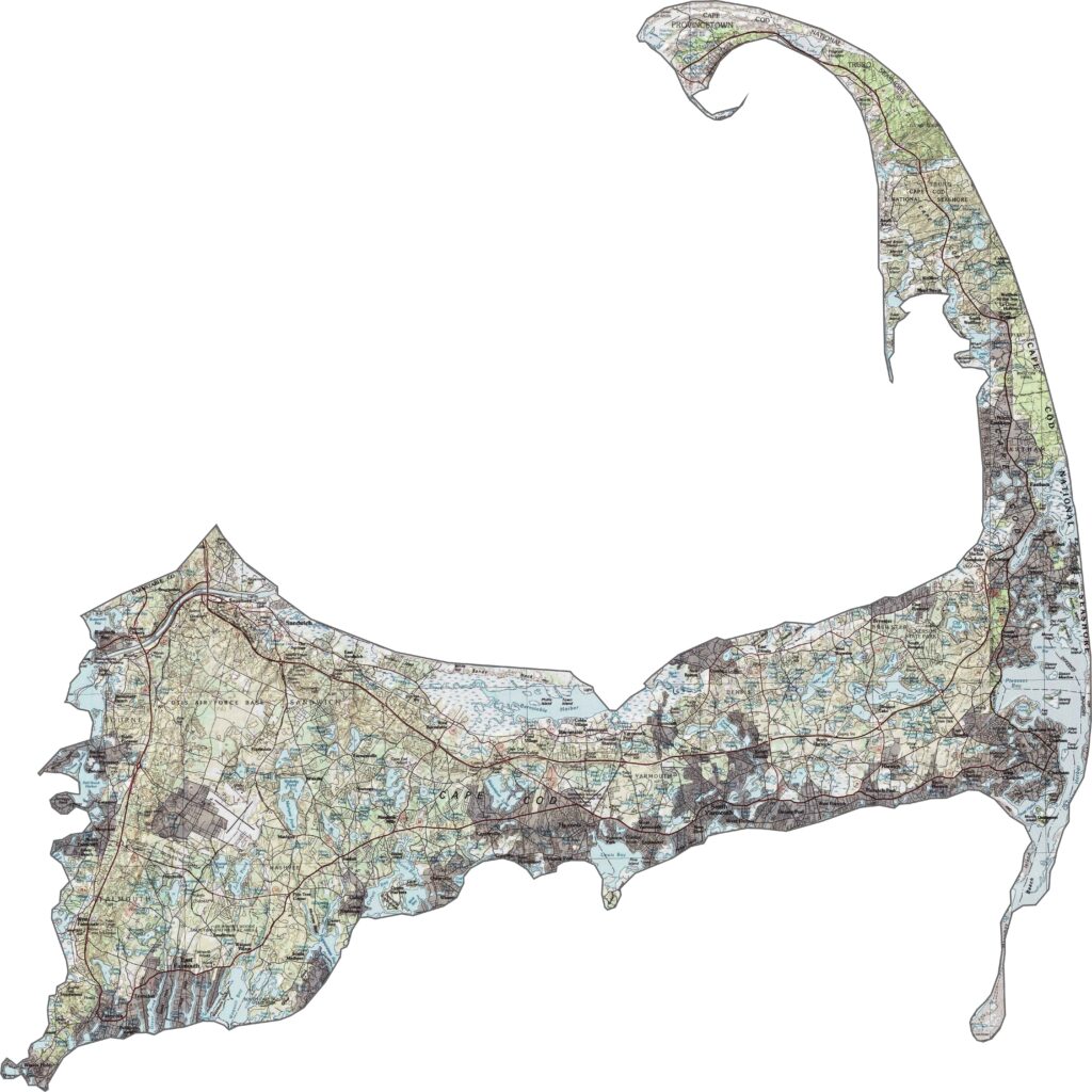
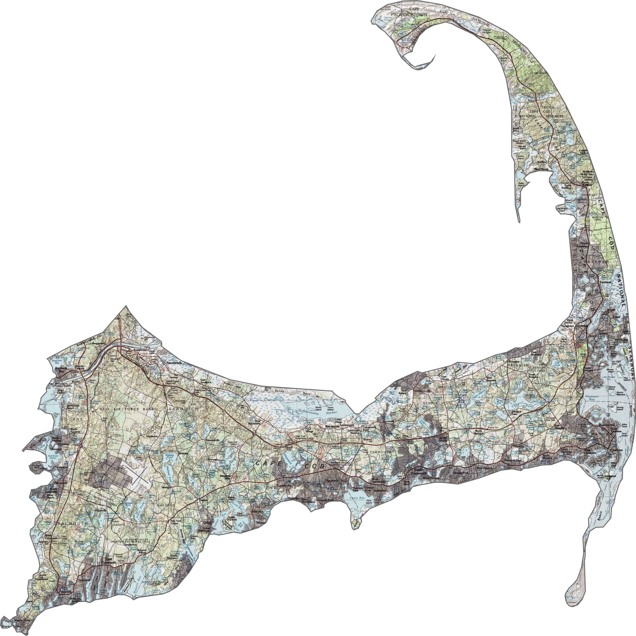
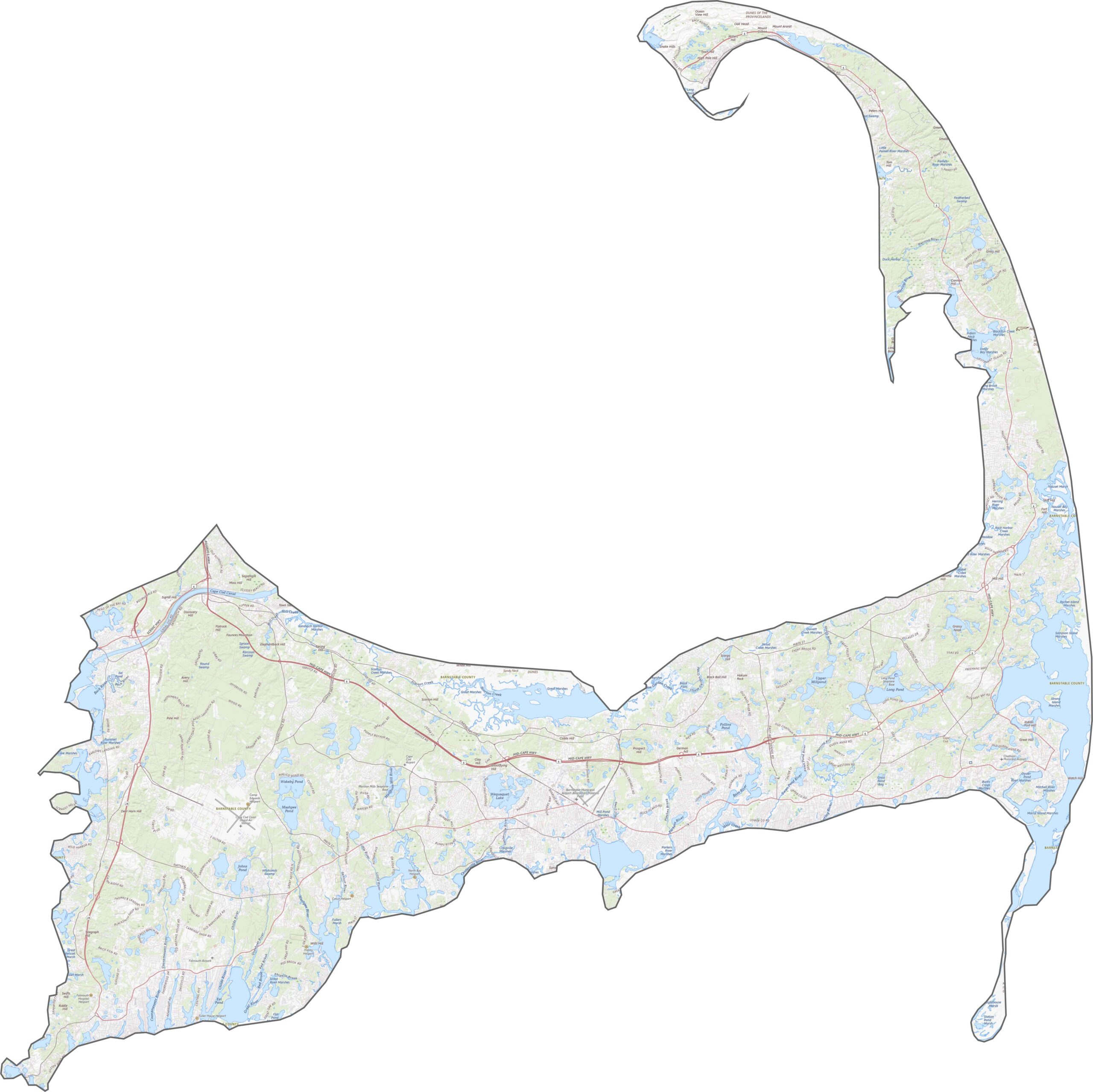
Our topographic map shows that Barnstable County is mostly flat, with coastal dunes, low hills, and gentle rises shaping the landscape. Elevation rarely rises above 300 feet. The interior is largely wooded, while the coastline stands out most clearly on the topo map.
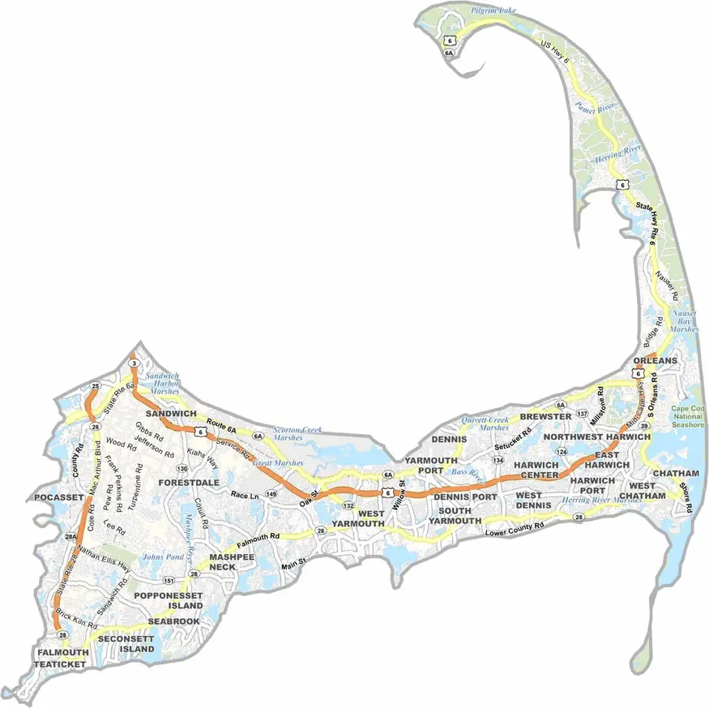
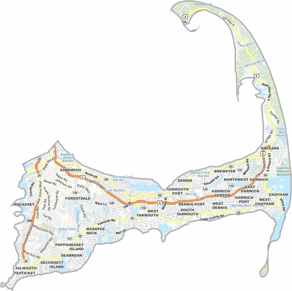
Roads in Barnstable County generally follow the curve of Cape Cod. Route 6 runs along the length of the peninsula, while Route 28 connects many of the towns. There are no interstates here, and scenic routes cross the Cape, especially toward the coast. Most travel remains local, and you can explore these roads in detail with our zoom tool.
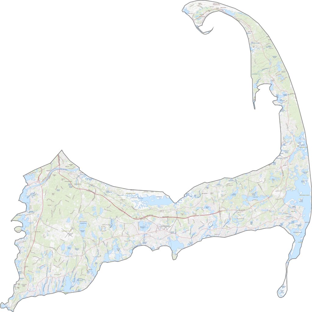
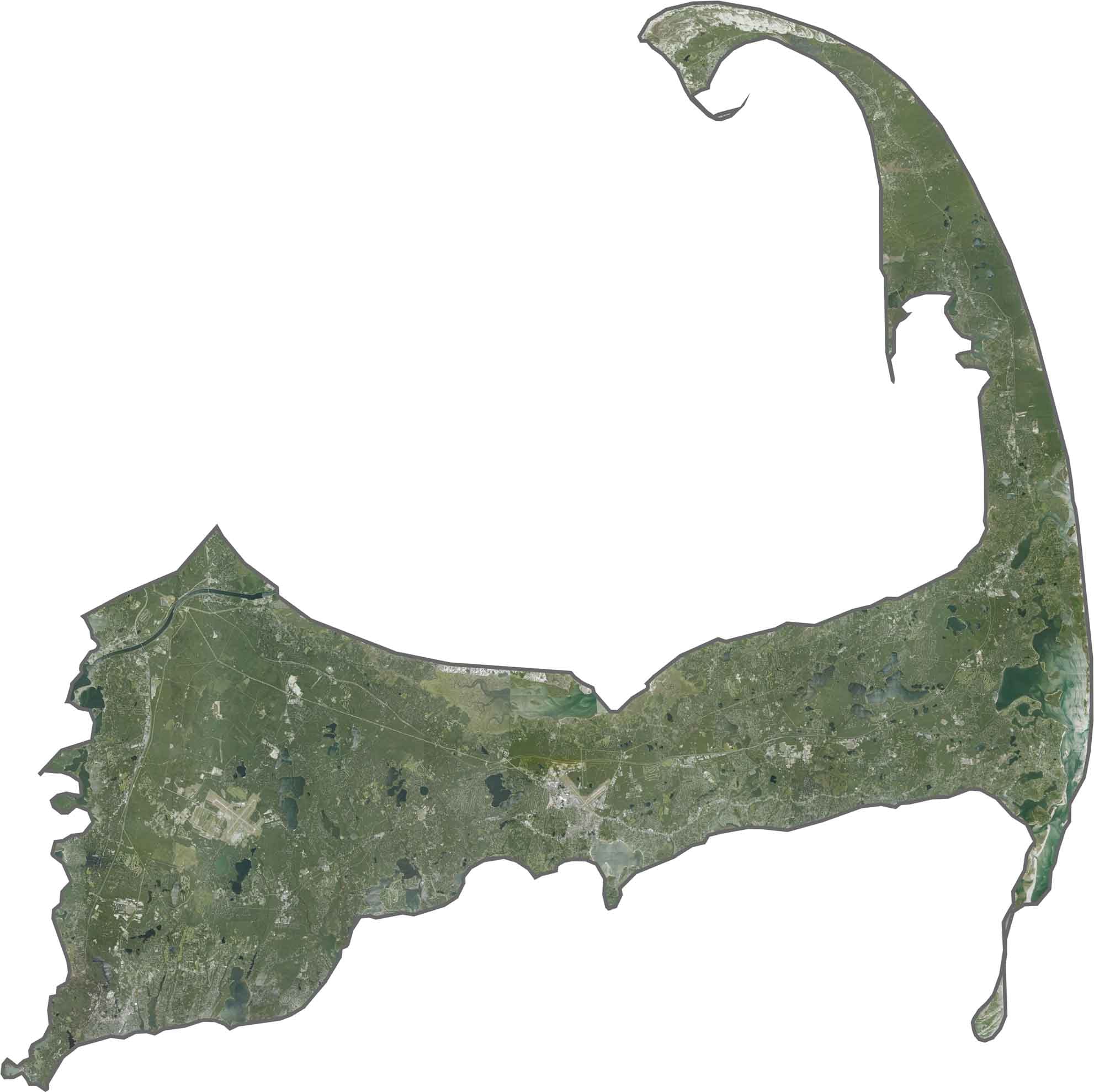
The coastline dominates the view, with long beaches stretching across the area. Marshes and kettle ponds are also easy to spot, while forests cover much of the land. From above, the sandy coastal edges stand out first.
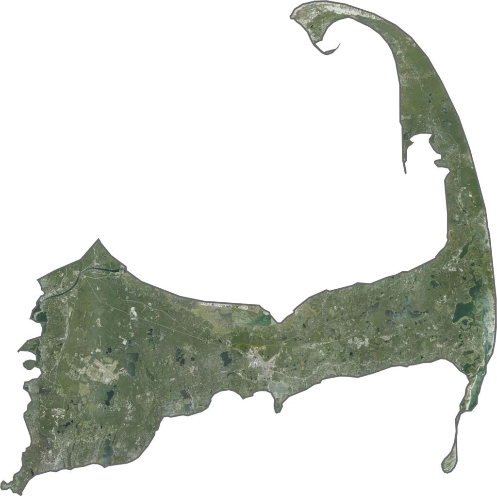
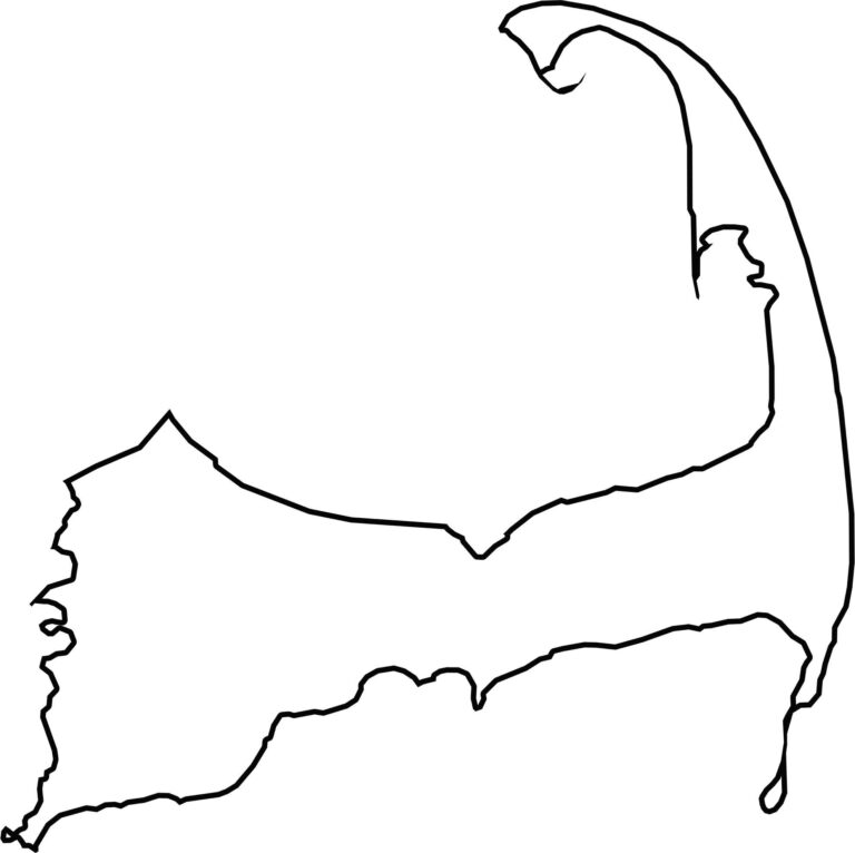
Barnstable County has a distinctive shape, extending into the Atlantic like a curved arm. Nantucket Sound borders the southern edge, while Cape Cod Bay lies to the north. Its outline features several peninsulas and hooked points. The county does not border another state and is surrounded by water on nearly all sides.

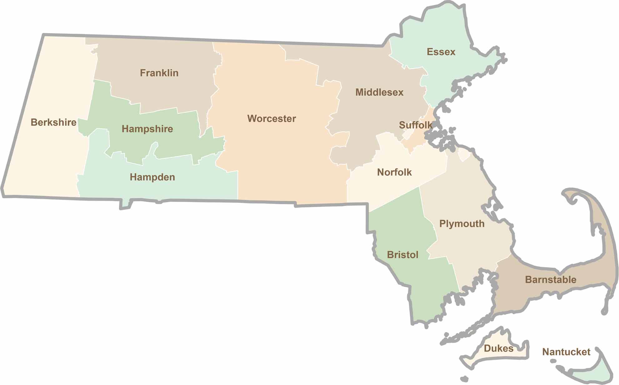
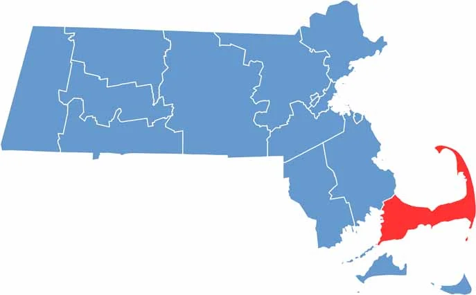
Small state, big personality. Boston’s skyline is packed with history, while the Cape delivers beach days and lobster rolls. Massachusetts brings together history, culture, and coastline across its 14 counties.