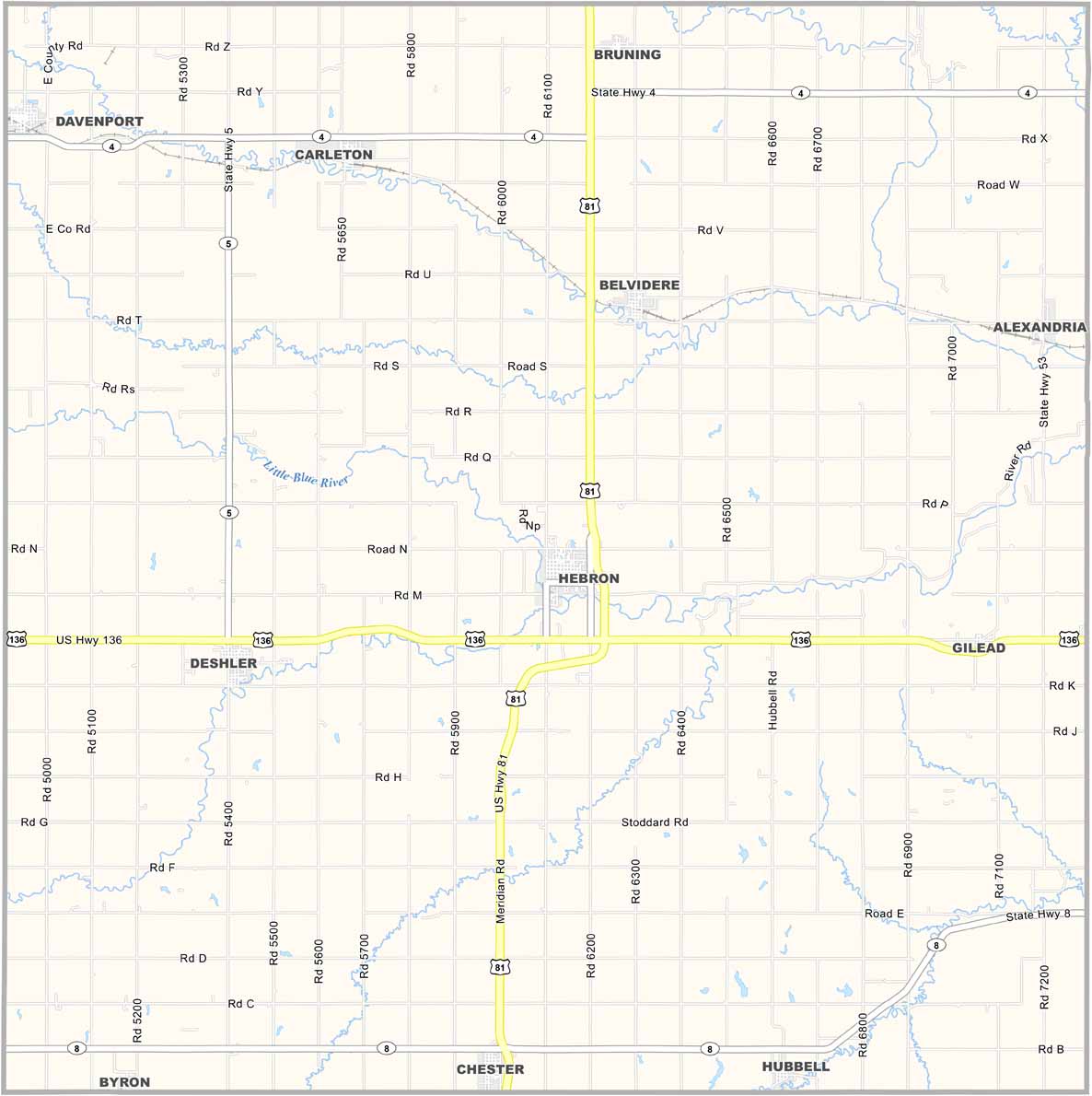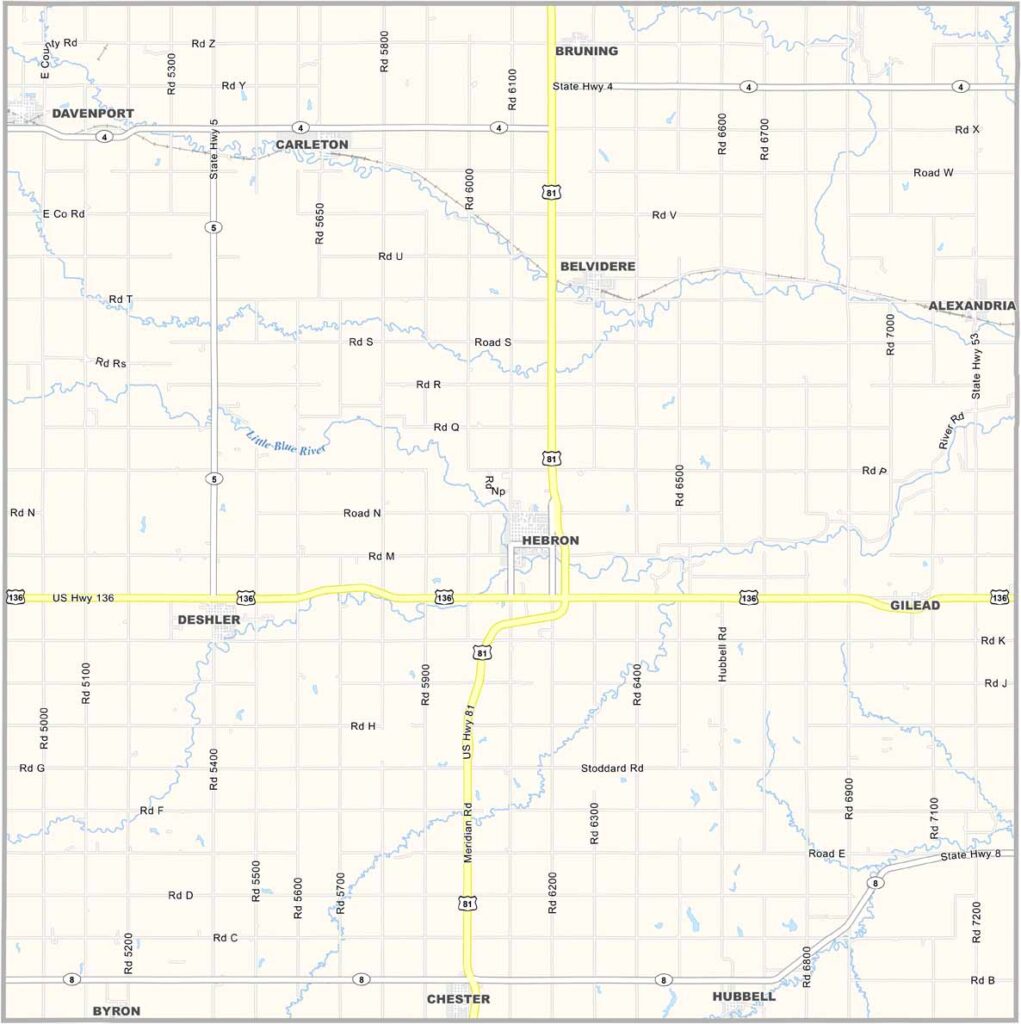
Thayer County Map, Nebraska

Thayer County, Nebraska

Thayer County is located in south-central Nebraska along the Kansas border. Hebron serves as the county seat, and much of the county is covered by farmland.

Hebron is home to the world’s largest porch swing, featuring a seat that stretches 32 feet long. No kidding—it’s even listed in the Guinness Book of World Records.

The county’s population has been declining for years, but those who remain have a deep connection to the land. The Little Blue River flows through the area, creating pleasant spots for fishing and camping.
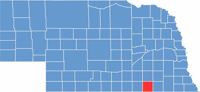

Thayer County location map of Nebraska
CategoryDetails
County NameThayer County
County SeatHebron
EtymologyNamed after John Milton Thayer, a U.S. Senator and Governor of Nebraska
Cities, Towns, and CommunitiesHebron, Deshler, Chester, Hubbell, Alexandria, Belvidere, Carleton, Byron
Interstates and HighwaysU.S. Highway 81, Nebraska Highway 4, Nebraska Highway 8
FIPS Code31-169
Total Area (Land and Water)575 square miles (574 sq mi land, 1 sq mi water)
Adjacent Counties (and Direction)Saline County (Northeast), Jefferson County (East), Washington County, Kansas (Southeast), Republic County, Kansas (South), Nuckolls County (West), Fillmore County (North)
Time ZoneCentral Time Zone (CT)
StateNebraska
Coordinates40.1686° N, 97.5912° W
Major LandmarksHebron Historic District, Rock Creek Station State Historical Park
PopulationApproximately 5,200
Scroll to Top