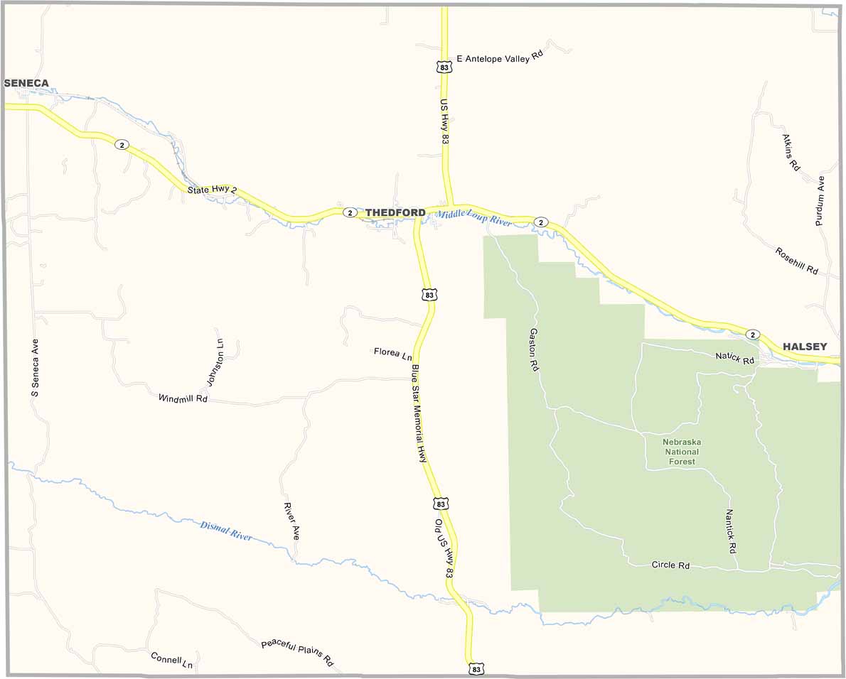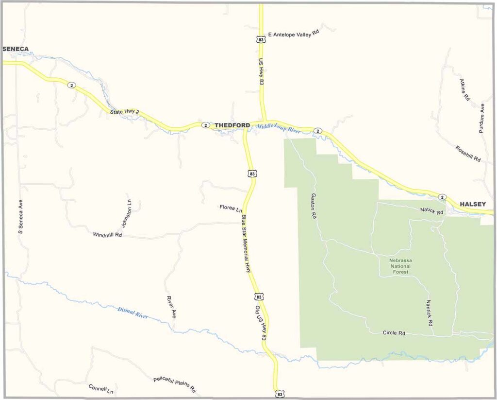
Thomas County Map, Nebraska

Thomas County, Nebraska

Thomas County is located in the middle of Nebraska’s Sandhills. Thedford serves as the county seat and is a tiny community with fewer than 200 residents. The entire county has a population of around 600 people.

The landscape is made up of rolling hills and open grasslands, creating some beautiful scenery. The Nebraska National Forest covers part of the southeastern region of the county.

The Middle Loup River flows through the area alongside Nebraska Highway 2. There isn’t much excitement here, but that’s exactly what some people like about it. It offers the kind of quiet that might seem unusual to city folks, but for those who live here, it’s home.
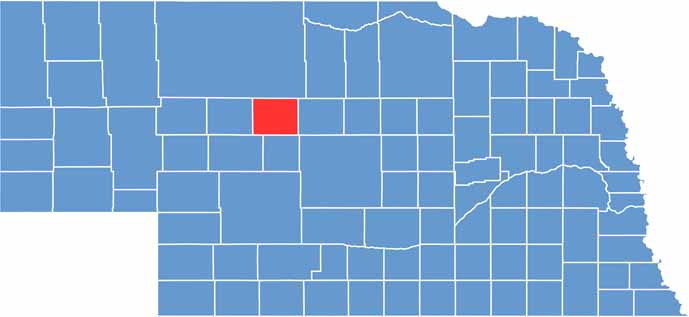

Thomas County location map of Nebraska
CategoryDetails
County NameThomas County
County SeatThedford
EtymologyNamed after General George H. Thomas, a Union general during the American Civil War
Cities, Towns, and CommunitiesThedford, Halsey
Interstates and HighwaysU.S. Highway 83, Nebraska Highway 2
FIPS Code31-171
Total Area (Land and Water)715 square miles (713 sq mi land, 2 sq mi water)
Adjacent Counties (and Direction)Cherry County (North), Blaine County (East), Logan County (South), McPherson County (Southwest), Hooker County (West)
Time ZoneCentral Time Zone (CT)
StateNebraska
Coordinates41.9653° N, 100.5789° W
Major LandmarksNebraska National Forest, Sandhills Journey Scenic Byway
PopulationApproximately 800
Scroll to Top