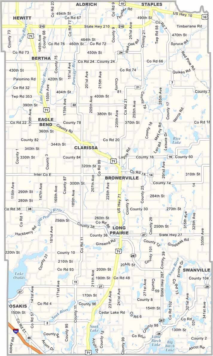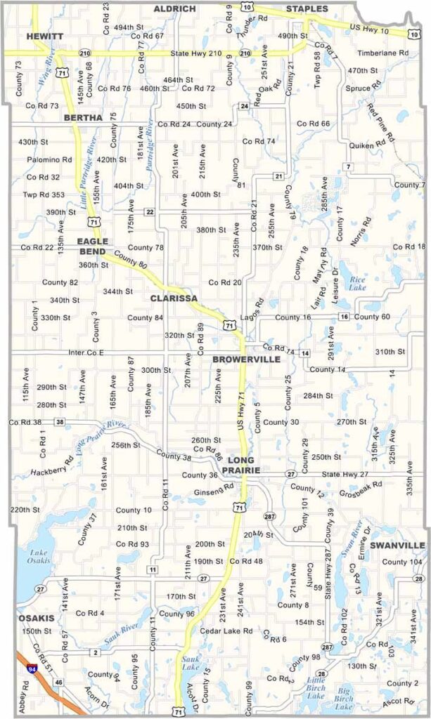
Todd County Map, Minnesota

Todd County, Minnesota

In the heart of central Minnesota lies Todd County. Its history is deeply rooted in agriculture, and you'll still see plenty of dairy farms and cornfields as you drive through.

There's a strong sense of community here. The county seat is Long Prairie, a cozy town of about 3,000 people. Locals flock to the area's numerous lakes, with Lake Osakis being a particular favorite.

The county sits about two hours northwest of the Twin Cities, stretching across 980 square miles of forests, lakes, and fertile farmland.
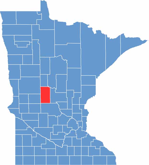

Todd County location map of Minnesota
CategoryDetails
County NameTodd County
County SeatLong Prairie
PopulationApproximately 24,000
Cities, Towns, and CommunitiesLong Prairie, Staples, Browerville, Eagle Bend, Clarissa, Bertha, Hewitt, Grey Eagle, Burtrum
Interstates and HighwaysUS 71, US 10, MN 27, MN 28, MN 210
FIPS Code27-153
Total Area (Land and Water)980 square miles (Land: 945 sq mi, Water: 35 sq mi)
Adjacent Counties (and Direction)Wadena County (North), Cass County (Northeast), Morrison County (East), Stearns County (South), Douglas County (West), Otter Tail County (Northwest)
Time ZoneCentral Time Zone (CT)
StateMinnesota
Coordinates46.1163° N, 94.8681° W
EtymologyNamed after John Blair Smith Todd, a delegate from Dakota Territory to the U.S. Congress
Major LandmarksLake Carlos State Park, Long Prairie River, Lake Osakis, Eagle Bend Historical Museum
Scroll to Top