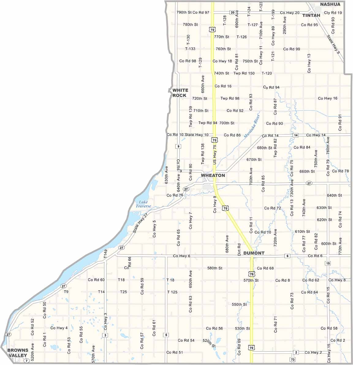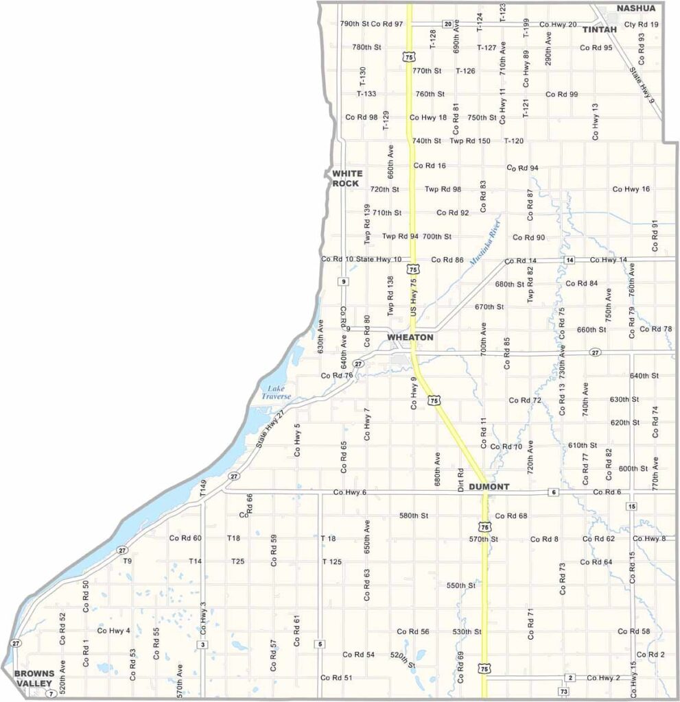
Traverse County Map, Minnesota

Traverse County, Minnesota

The westernmost reach of Minnesota is home to Traverse County, a sliver of land bordering South Dakota. It's sparsely populated, with fewer than 3,500 residents spread across its 586 square miles.

Wheaton serves as the county seat. Farming is the backbone of the economy here, with vast fields of wheat, soybeans, and sugar beets. The mighty Lake Traverse and Mud Lake form part of the county's western border.

Locals are a hardy bunch who take pride in their communities and agricultural heritage. The county is named after Lake Traverse, though the lake actually lies just over the border in South Dakota.
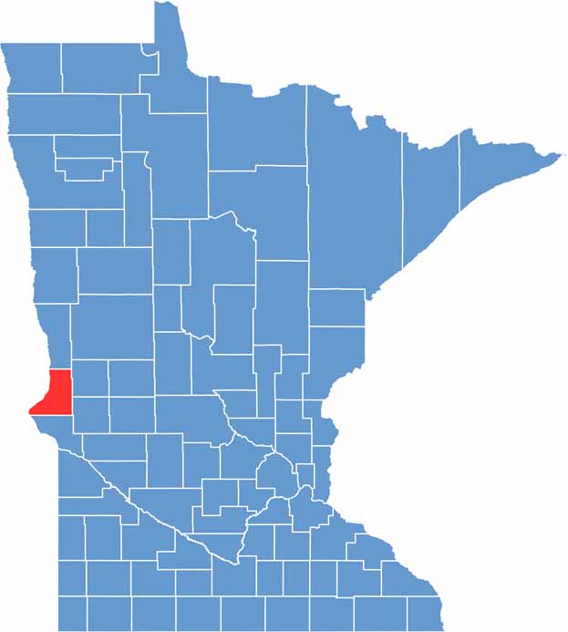

Traverse County location map of Minnesota
CategoryDetails
County NameTraverse County
County SeatWheaton
PopulationApproximately 3,300
Cities, Towns, and CommunitiesWheaton, Browns Valley, Dumont, Tintah, Beardsley
Interstates and HighwaysUS 75, MN 27, MN 28
FIPS Code27-155
Total Area (Land and Water)586 square miles (Land: 574 sq mi, Water: 12 sq mi)
Adjacent Counties (and Direction)Wilkin County (North), Grant County (Northeast), Stevens County (Southeast), Big Stone County (South), Roberts County, South Dakota (Southwest), Richland County, North Dakota (Northwest)
Time ZoneCentral Time Zone (CT)
StateMinnesota
Coordinates45.8882° N, 96.8111° W
EtymologyNamed after Lake Traverse, a lake located in the county
Major LandmarksLake Traverse, Wheaton Depot Museum, Traverse County Park
Scroll to Top