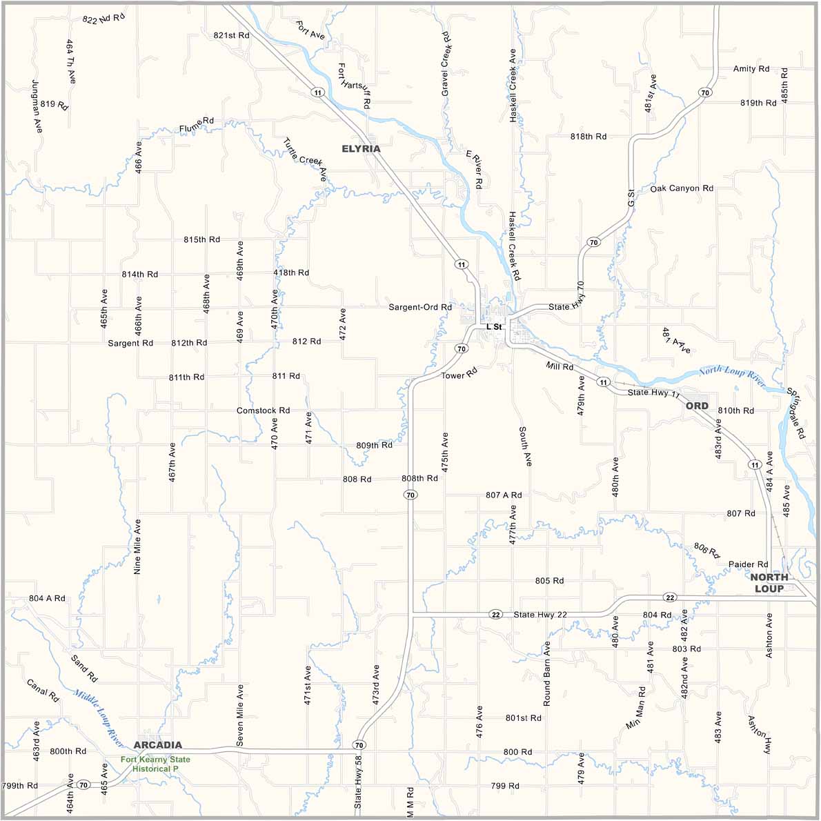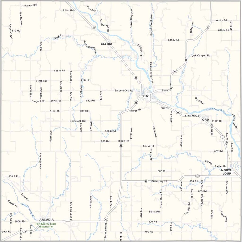
Valley County Map, Nebraska

Valley County, Nebraska

Valley County is located in the heart of central Nebraska. Ord serves as the county seat. It’s a small town with plenty of character, and farming remains the main way of life here.

The Bohemian Alps, a series of rolling hills, stretch across the eastern part of the county. This distinctive landscape gives the area a unique character.

The North Loup River flows through the county. But there’s something special about this place. Maybe it’s the way neighbors look out for one another or the way people celebrate their heritage. Making a living here isn’t always easy, but for some, it feels like paradise.
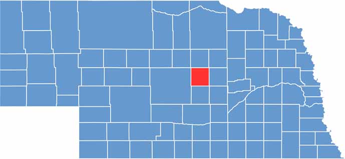

Valley County location map of Nebraska
CategoryDetails
County NameValley County
County SeatOrd
EtymologyNamed for the scenic valleys in the area
Cities, Towns, and CommunitiesOrd, Arcadia, North Loup, Elyria
Interstates and HighwaysU.S. Highway 281, Nebraska Highway 11, Nebraska Highway 70
FIPS Code31-175
Total Area (Land and Water)570 square miles (568 sq mi land, 2 sq mi water)
Adjacent Counties (and Direction)Wheeler County (Northeast), Greeley County (East), Sherman County (South), Custer County (West), Garfield County (North)
Time ZoneCentral Time Zone (CT)
StateNebraska
Coordinates41.5598° N, 98.9872° W
Major LandmarksFort Hartsuff State Historical Park, Calamus Reservoir
PopulationApproximately 4,200
Scroll to Top