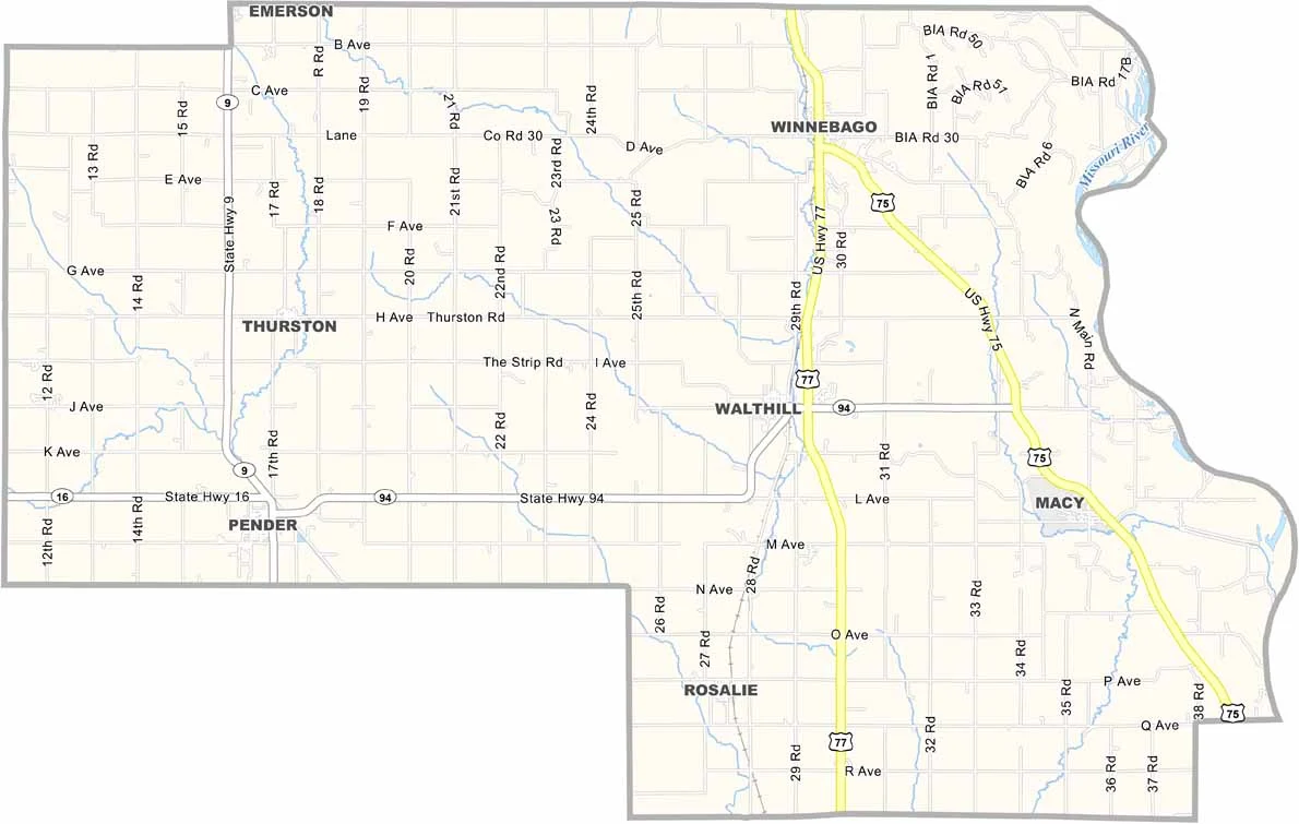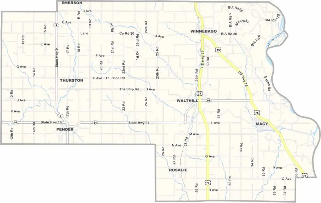
Thurston County Map, Nebraska

Thurston County, Nebraska

Thurston County sits in northeastern Nebraska along the Iowa border. Pender serves as the county seat, while Winnebago is the largest town.

The county is unique in Nebraska, with much of its land made up of reservation areas. It is home to the Omaha and Winnebago tribes. Farming remains an important part of the local economy, while a casino also attracts some tourism.

The Missouri River forms the eastern boundary, creating some beautiful views. It’s a place where different cultures come together, including Native American, white, and Hispanic communities. Altogether, this creates an interesting local character.
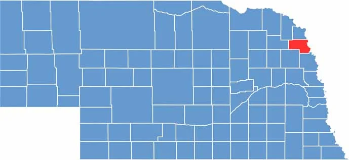

Thurston County location map of Nebraska
CategoryDetails
County NameThurston County
County SeatPender
EtymologyNamed after John M. Thurston, a U.S. Senator from Nebraska
Cities, Towns, and CommunitiesPender, Walthill, Winnebago, Macy, Rosalie
Interstates and HighwaysU.S. Highway 75, Nebraska Highway 94
FIPS Code31-173
Total Area (Land and Water)396 square miles (394 sq mi land, 2 sq mi water)
Adjacent Counties (and Direction)Dakota County (North), Woodbury County, Iowa (Northeast), Monona County, Iowa (East), Burt County (Southeast), Cuming County (Southwest), Wayne County (West), Dixon County (Northwest)
Time ZoneCentral Time Zone (CT)
StateNebraska
Coordinates42.1848° N, 96.6923° W
Major LandmarksBlackbird Hill, John G. Neihardt State Historic Site
PopulationApproximately 7,400
Scroll to Top