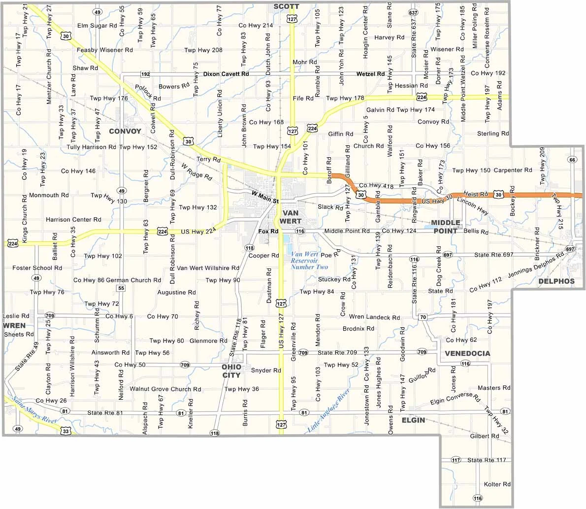
Van Wert County Map, Ohio

Van Wert County, Ohio

Van Wert County sits in northwestern Ohio along the Indiana border. It’s farm country, with corn and soybean fields stretching for miles.

Van Wert is also the county seat. It’s a small city with a strong sense of community, where people look out for one another. The Van Wert County Fair is a popular annual highlight.

Visitors can admire the beautiful old courthouse, while the county also offers a surprising amount of culture through its community theater and art center. Van Wert County may be small, but it has plenty of charm.
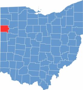

Van Wert County location map of Ohio
CategoryDetails
County NameVan Wert County
County SeatVan Wert
EtymologyNamed after Isaac Van Wart
Cities, Towns, and CommunitiesVan Wert, Ohio City, Middle Point, Convoy
Interstates and HighwaysU.S. Highway 30, State Route 49, State Route 81
FIPS Code39-161
Total Area411 square miles (land and water)
Adjacent CountiesPaulding County (North), Putnam County (Northeast), Allen County (East), Auglaize County (Southeast), Mercer County (South), Adams County, Indiana (Southwest), Allen County, Indiana (Northwest)
Time ZoneEastern Time Zone
StateOhio
Coordinates40.8688° N, 84.3583° W
Major LandmarksVan Wert County Historical Society, Smiley Park
PopulationApproximately 27,000
Scroll to Top