
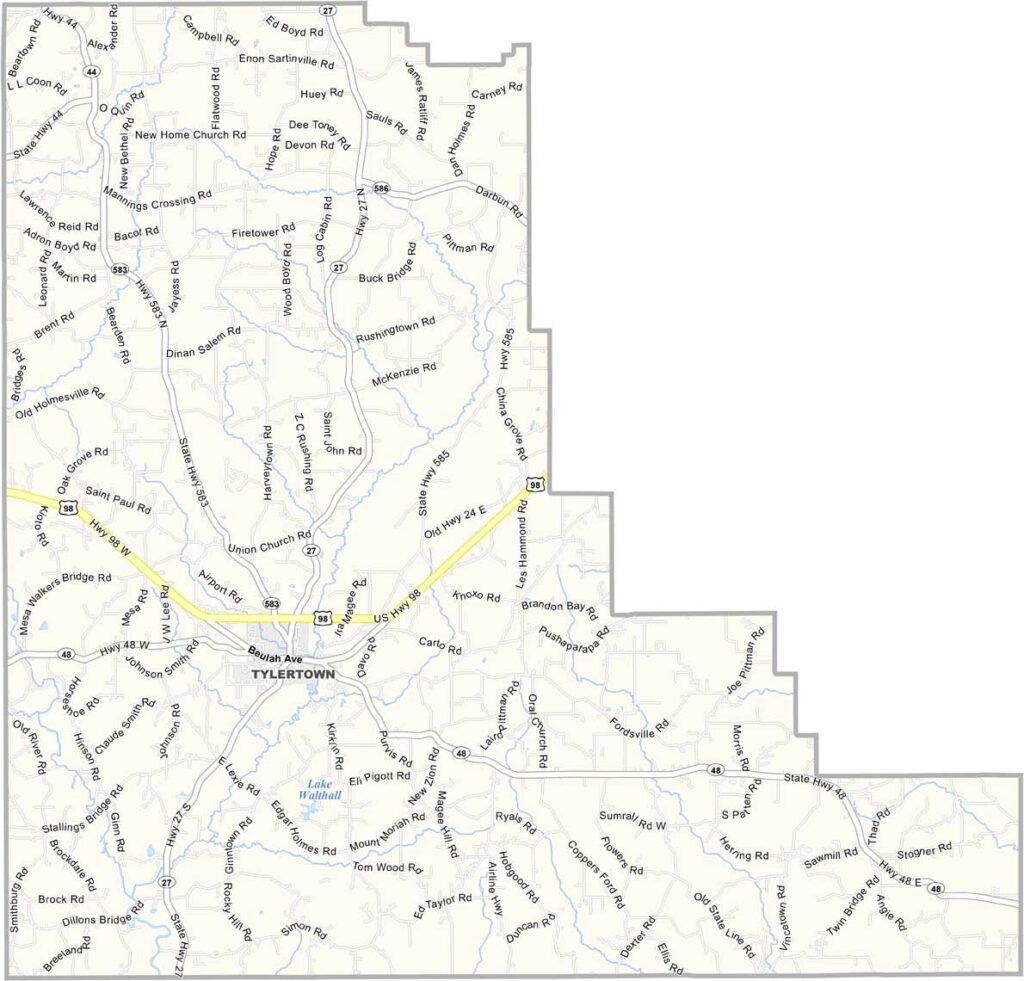
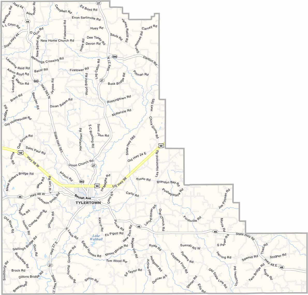
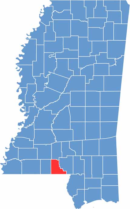
Walthall County lies in the southwest part of Mississippi. It's small, but it's got character. Walthall Lake, in the south, offers great spots for fishing and canoeing.
The woods here are thick with pine trees, perfect for hunting or just getting lost in nature. Despite its rural setting, the county isn't far from New Orleans or the Mississippi Gulf Coast.
The woods here are thick with pine trees, perfect for hunting or just getting lost in nature. Despite its rural setting, the county isn't far from New Orleans or the Mississippi Gulf Coast.

Mississippi Counties
Rankin County Map Download Mississippi – Outline Map and Blank Map

Mississippi Counties
Madison County Map Download Mississippi – Outline Map and Blank Map

Mississippi Counties
Jackson County Map Download Mississippi – Outline Map and Blank Map

Mississippi Counties
Hinds County Map Download Mississippi – Outline Map and Blank Map

Mississippi Counties
Harrison County Map Download Mississippi – Outline Map and Blank Map

Mississippi Counties