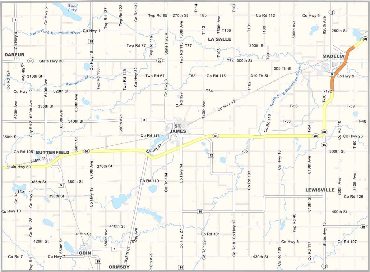
Watonwan County Map, Minnesota

Watonwan County, Minnesota

Located in south-central Minnesota, Watonwan County is a place where small-town charm meets agricultural might. It's not big. Just over 11,000 people call it home.

The county seat, St. James, sits right in the middle of things. Farmers here grow corn and soybeans like nobody's business. You'll find the land pretty flat, scattered with farms and small towns.

There's more to do than you might think, though. Folks fish in the Watonwan River or hit up one of the local parks on weekends. The county's got some history too. It was founded way back in 1860.
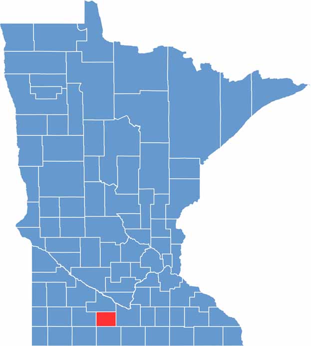

Watonwan County location map of Minnesota
CategoryDetails
County NameWatonwan County
County SeatSt. James
PopulationApproximately 11,000
Cities, Towns, and CommunitiesSt. James, Madelia, Butterfield, La Salle, Darfur, Odin, Ormsby, Lewisville
Interstates and HighwaysUS 60, MN 4, MN 15, MN 30
FIPS Code27-165
Total Area (Land and Water)440 square miles (Land: 435 sq mi, Water: 5 sq mi)
Adjacent Counties (and Direction)Brown County (North), Blue Earth County (East), Martin County (South), Jackson County (Southwest), Cottonwood County (West)
Time ZoneCentral Time Zone (CT)
StateMinnesota
Coordinates43.9753° N, 94.6116° W
EtymologyNamed after the Watonwan River, a Dakota Sioux word meaning “fish bait”
Major LandmarksWatonwan County Historical Society Museum, Long Lake Park, St. James Lake
Scroll to Top