
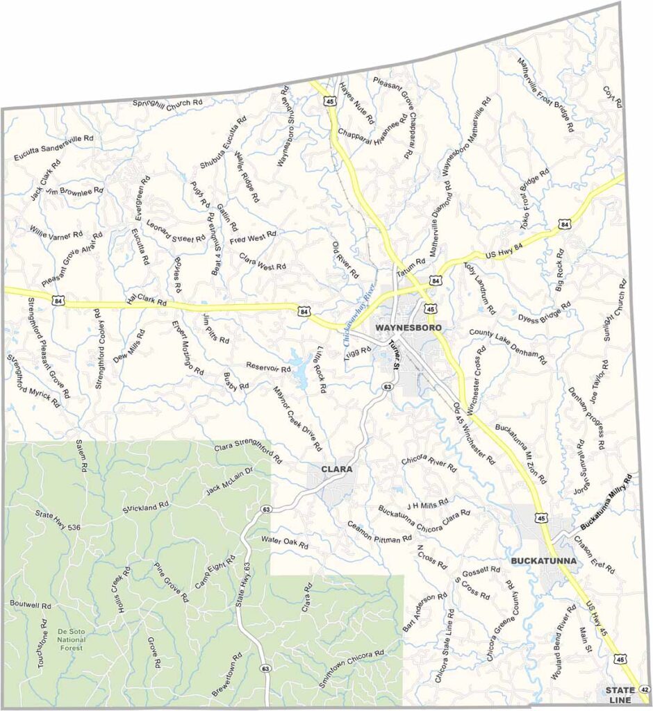
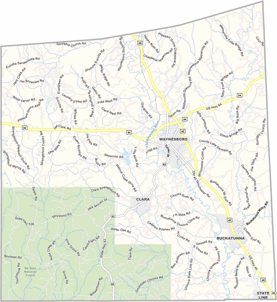
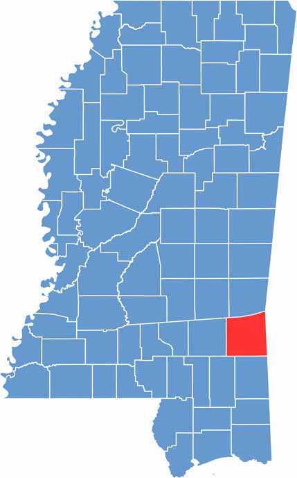
Pine forests blanket much of Wayne County in southeastern Mississippi. The De Soto National Forest occupies the southwestern region of the county, which was founded back in 1809.
It's quiet out here. Waynesboro, the biggest town, has barely 5,000 people. Folks make a living off timber, farming, and a bit of manufacturing.
You'll find some of the best fishing holes in the state along the Chickasawhay River. There's not much nightlife, but people know how to have fun. Friday night football is practically a religion in the fall.

Mississippi Counties
Rankin County Map Download Mississippi – Outline Map and Blank Map

Mississippi Counties
Madison County Map Download Mississippi – Outline Map and Blank Map

Mississippi Counties
Jackson County Map Download Mississippi – Outline Map and Blank Map

Mississippi Counties
Hinds County Map Download Mississippi – Outline Map and Blank Map

Mississippi Counties
Harrison County Map Download Mississippi – Outline Map and Blank Map

Mississippi Counties