
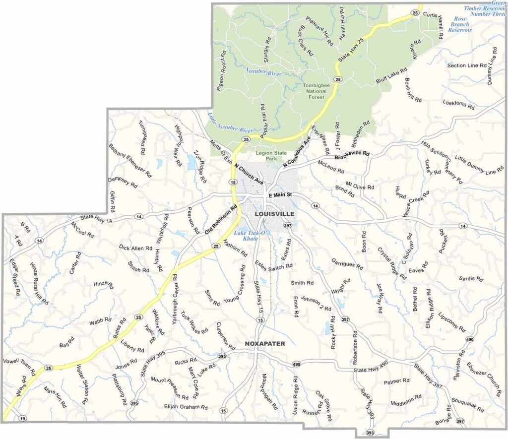
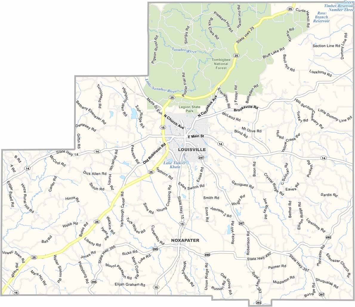
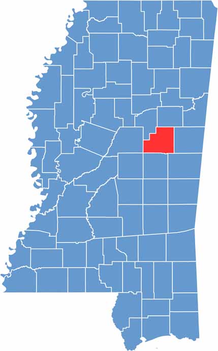
Winston County sits in the heart of Mississippi. Louisville, the county seat, is a town with lots of character, located right in the center of the county.
You'll find rolling hills and forests here, perfect for getting lost on a weekend drive. The Nanih Waiya mound, an ancient earthwork sacred to the Choctaw people, is nearby to the south.
This place has some serious rebel spirit. During the Civil War, the county tried to secede from the state because it didn't want to leave the Union. Talk about sticking to your guns.

Mississippi Counties
Rankin County Map Download Mississippi – Outline Map and Blank Map

Mississippi Counties
Madison County Map Download Mississippi – Outline Map and Blank Map

Mississippi Counties
Jackson County Map Download Mississippi – Outline Map and Blank Map

Mississippi Counties
Hinds County Map Download Mississippi – Outline Map and Blank Map

Mississippi Counties
Harrison County Map Download Mississippi – Outline Map and Blank Map

Mississippi Counties