
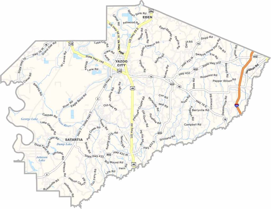
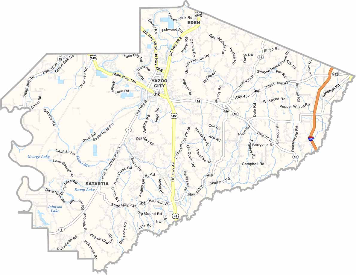
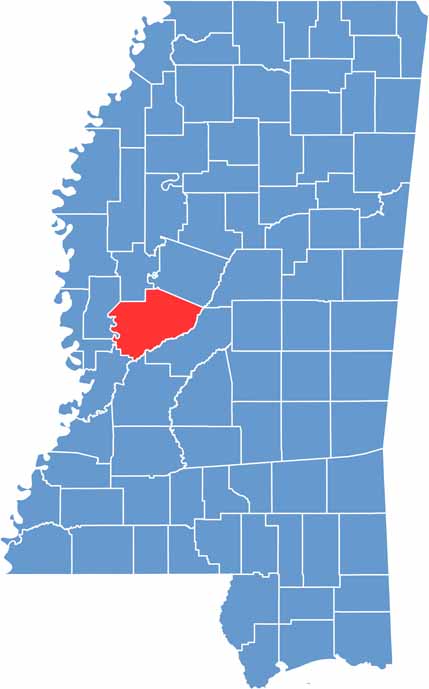
Yazoo County is named after the Yazoo River, which snakes its way through the land like a muddy ribbon. At the heart of it all is Yazoo City, which is also the county seat.
The Delta blues run deep in these parts, with legends like Skip James calling it home. If you're into the outdoors, the Panther Swamp National Wildlife Refuge is a slice of wild Mississippi waiting to be explored.
They say a witch left her mark here, setting fire to the town back in 1904. Whether you believe that or not, there's no denying Yazoo has character.

Mississippi Counties
Rankin County Map Download Mississippi – Outline Map and Blank Map

Mississippi Counties
Madison County Map Download Mississippi – Outline Map and Blank Map

Mississippi Counties
Jackson County Map Download Mississippi – Outline Map and Blank Map

Mississippi Counties
Hinds County Map Download Mississippi – Outline Map and Blank Map

Mississippi Counties
Harrison County Map Download Mississippi – Outline Map and Blank Map

Mississippi Counties