
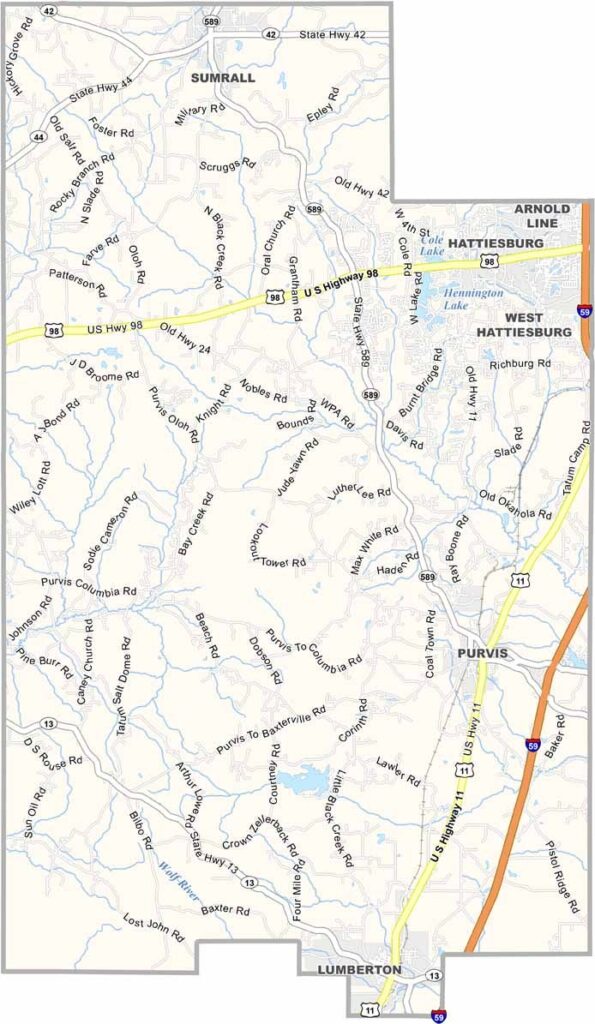
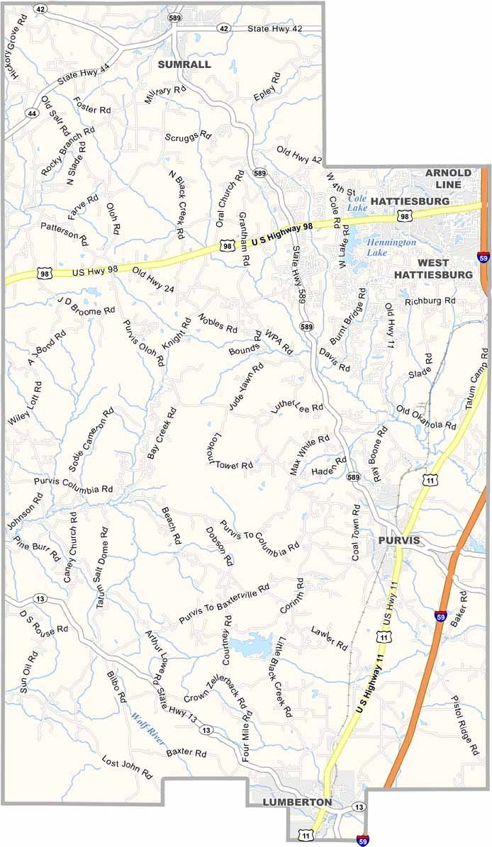
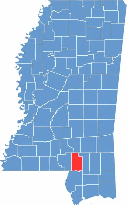
Lamar County is located in southern Mississippi, right next to Hattiesburg and within easy reach of the Gulf Coast. The county has experienced steady growth over the years.
The area combines small towns with rural communities, with Purvis serving as the county seat. Locals appreciate the peaceful, outdoorsy atmosphere.
There are plenty of opportunities for fishing, hiking, and enjoying the area’s green spaces. History enthusiasts may also enjoy learning about the old railroads that once ran through the county.

Mississippi Counties
Rankin County Map Download Mississippi – Outline Map and Blank Map

Mississippi Counties
Madison County Map Download Mississippi – Outline Map and Blank Map

Mississippi Counties
Jackson County Map Download Mississippi – Outline Map and Blank Map

Mississippi Counties
Hinds County Map Download Mississippi – Outline Map and Blank Map

Mississippi Counties
Harrison County Map Download Mississippi – Outline Map and Blank Map

Mississippi Counties