
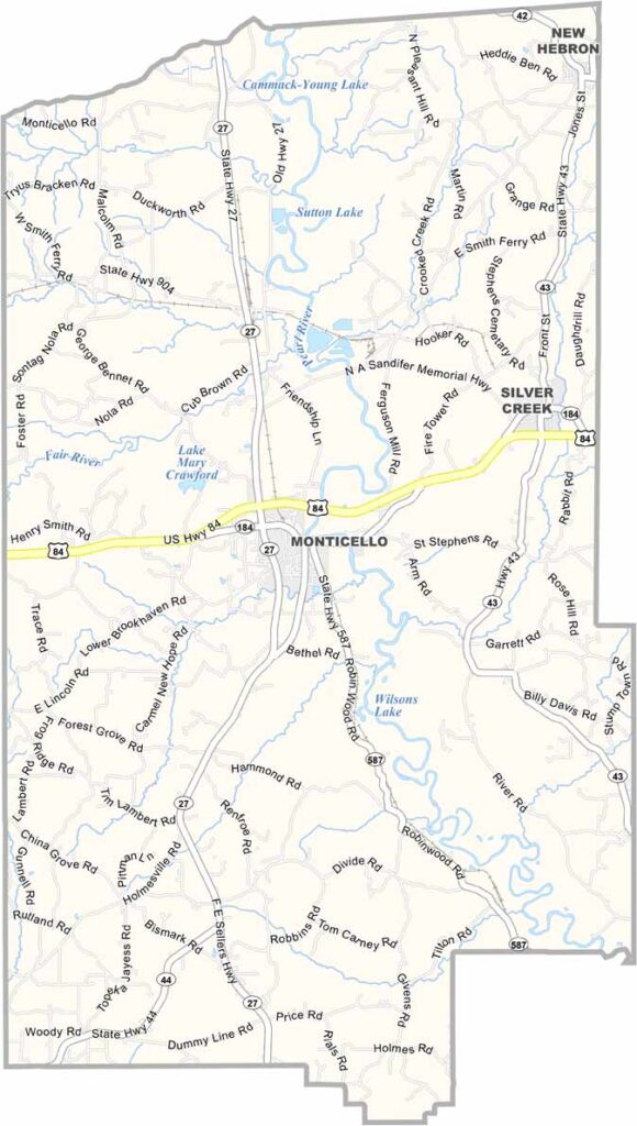
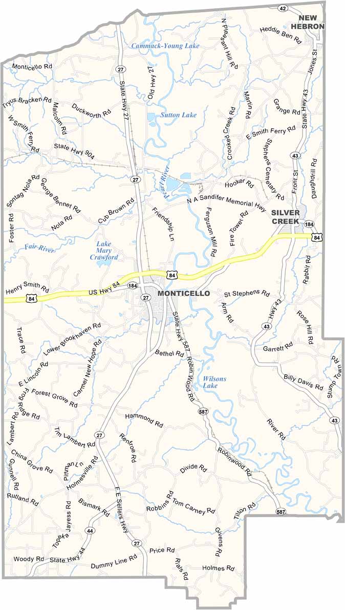
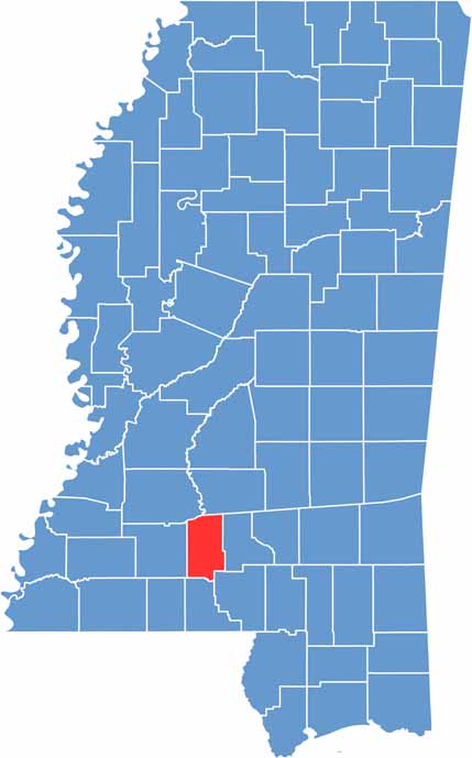
Lawrence County is located in southwestern Mississippi. It offers a slice of rural life with plenty of small-town charm. Monticello sits at the center of the county and serves as the county seat.
The area has deep roots, with a history that goes back to the early 1800s. The Pearl River flows through the county, providing some excellent spots for fishing.
You won’t find the hustle and bustle of a big city here. Instead, life revolves around backyard BBQs and Friday night football games. Lawrence County is a peaceful place where you can enjoy the simple pleasures of rural living.

Mississippi Counties
Rankin County Map Download Mississippi – Outline Map and Blank Map

Mississippi Counties
Madison County Map Download Mississippi – Outline Map and Blank Map

Mississippi Counties
Jackson County Map Download Mississippi – Outline Map and Blank Map

Mississippi Counties
Hinds County Map Download Mississippi – Outline Map and Blank Map

Mississippi Counties
Harrison County Map Download Mississippi – Outline Map and Blank Map

Mississippi Counties