
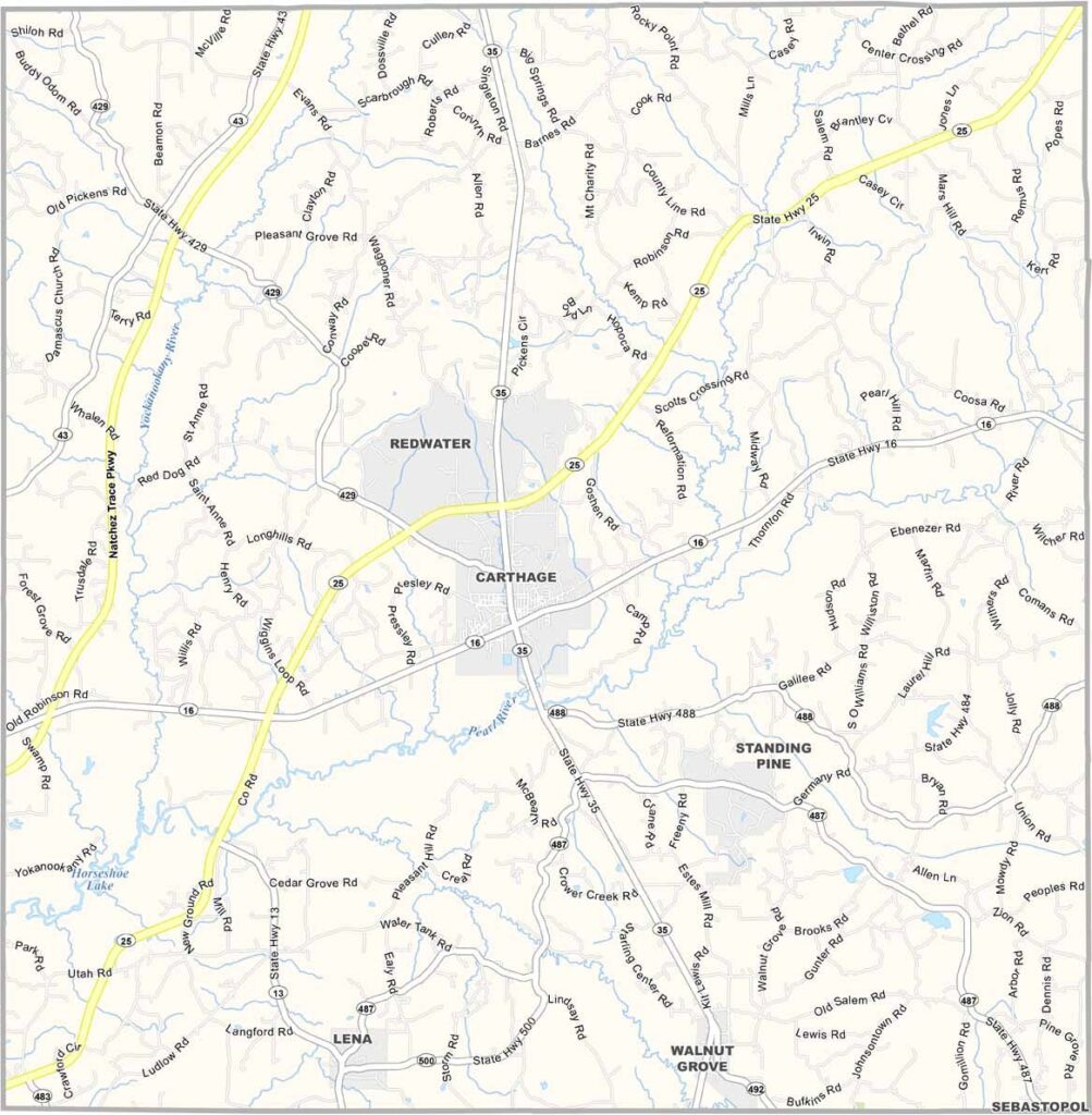
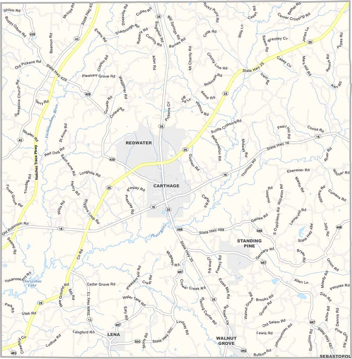
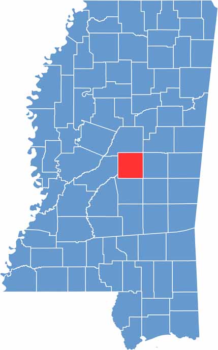
In central Mississippi, you’ll find Leake County, where small-town values still hold strong. Carthage is the county seat and the main community in the area.
The county has a history stretching back to the early 1800s. The fertile soil of the Pearl River Valley has supported local agriculture and communities for generations.
You won’t see any skyscrapers around here. Leake County offers a peaceful change of pace for anyone looking to get away from the hustle and bustle of everyday life.

Mississippi Counties
Rankin County Map Download Mississippi – Outline Map and Blank Map

Mississippi Counties
Madison County Map Download Mississippi – Outline Map and Blank Map

Mississippi Counties
Jackson County Map Download Mississippi – Outline Map and Blank Map

Mississippi Counties
Hinds County Map Download Mississippi – Outline Map and Blank Map

Mississippi Counties
Harrison County Map Download Mississippi – Outline Map and Blank Map

Mississippi Counties