
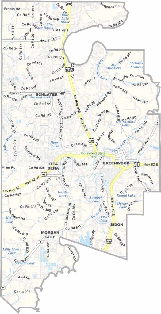
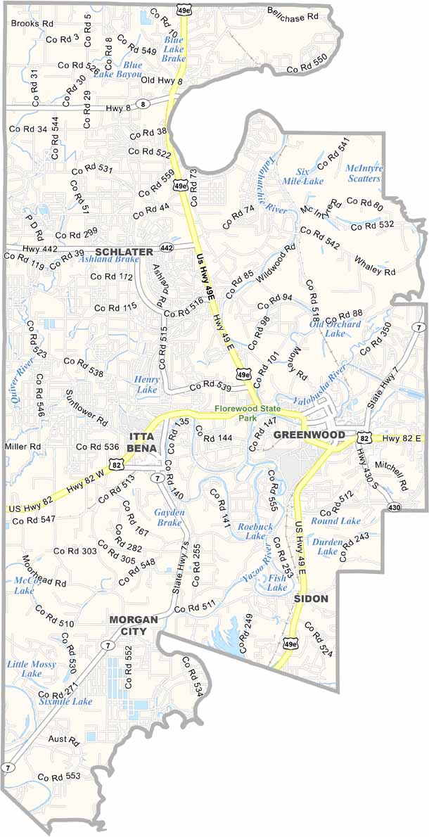
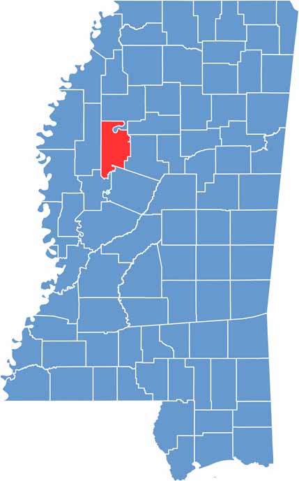
The Mississippi Delta has a special kind of magic, and Leflore County is right in the thick of it. You'll find it in the northwestern part of the state, where the land is flat.
It's a place where the past and present mix in interesting ways. The Yazoo River snakes through, giving life to the land. Florewood State Park is here too.
Greenwood is the big name here, and blues history runs deep in these parts. Cotton fields stretch far into the horizon. Leflore County has soul. It's not always pretty, but it's always real.

Mississippi Counties
Rankin County Map Download Mississippi – Outline Map and Blank Map

Mississippi Counties
Madison County Map Download Mississippi – Outline Map and Blank Map

Mississippi Counties
Jackson County Map Download Mississippi – Outline Map and Blank Map

Mississippi Counties
Hinds County Map Download Mississippi – Outline Map and Blank Map

Mississippi Counties
Harrison County Map Download Mississippi – Outline Map and Blank Map

Mississippi Counties