
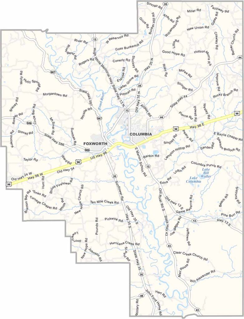
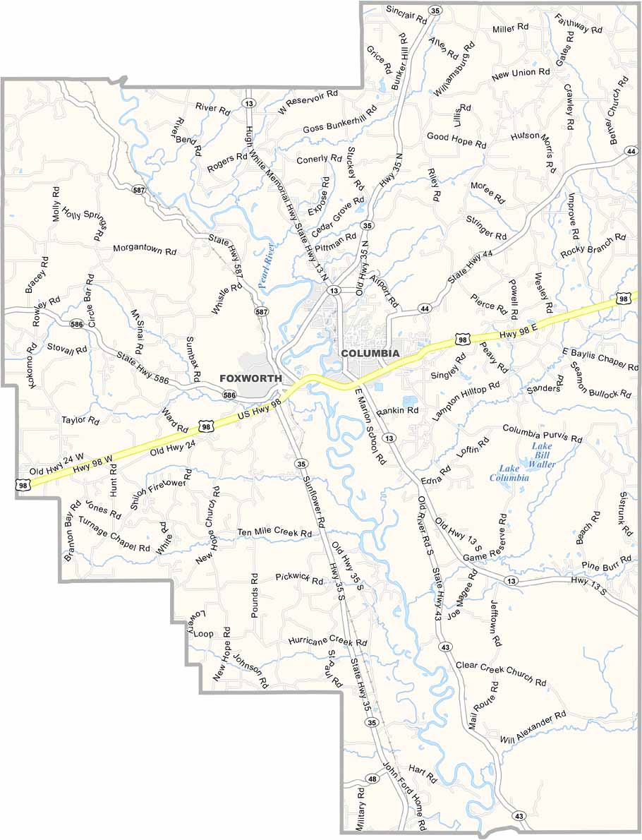
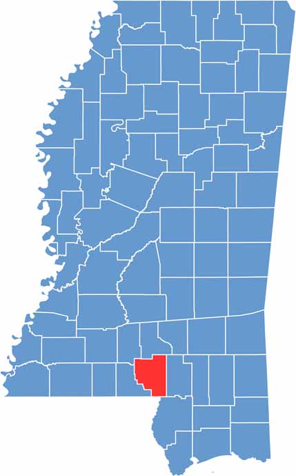
Marion County lies in south Mississippi. The Pearl River runs right through it, giving folks plenty of spots to fish or float on a lazy summer day.
Columbia is the main town and kind of the hub of everything. The county is named after Francis Marion, the "Swamp Fox" of Revolutionary War fame.
You might not expect it, but Marion County played a part in the space race. NASA tested rocket engines here back in the day. These days, it's more about small-town living and enjoying the outdoors.

Mississippi Counties
Rankin County Map Download Mississippi – Outline Map and Blank Map

Mississippi Counties
Madison County Map Download Mississippi – Outline Map and Blank Map

Mississippi Counties
Jackson County Map Download Mississippi – Outline Map and Blank Map

Mississippi Counties
Hinds County Map Download Mississippi – Outline Map and Blank Map

Mississippi Counties
Harrison County Map Download Mississippi – Outline Map and Blank Map

Mississippi Counties