
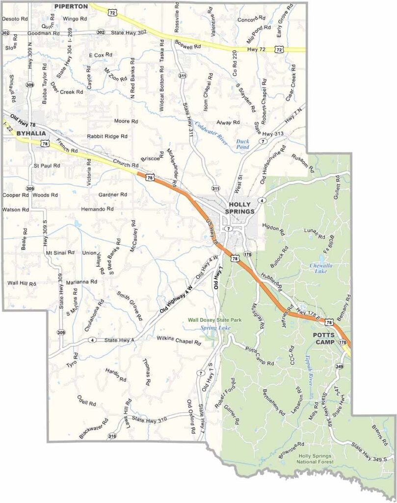
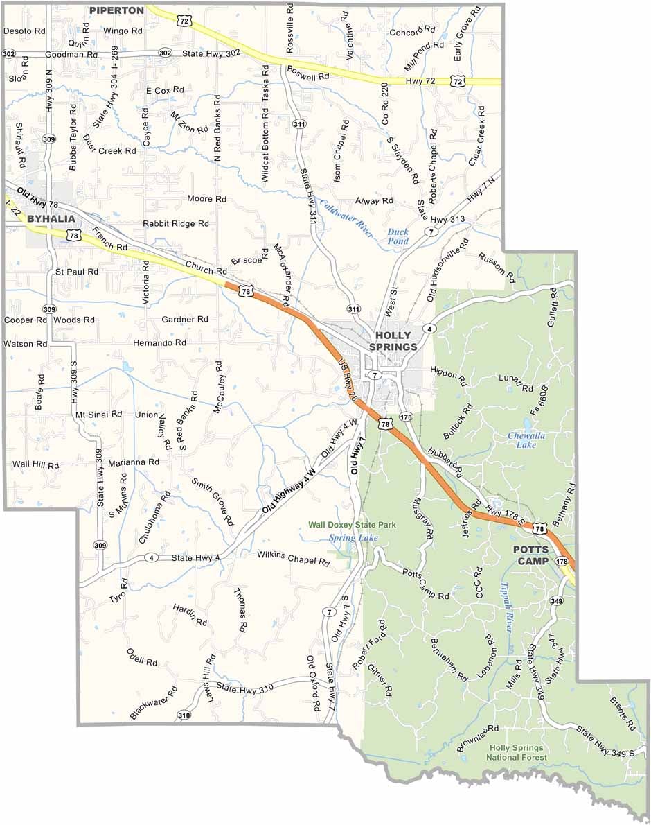
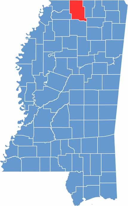
Marshall County is up in the northwest corner of Mississippi, right on the Tennessee border and about an hour southeast of Memphis.
Holly Springs, the county seat, is a place with some serious history. Nature lovers have plenty to do too, with Sardis Lake and Wall Doxey State Park nearby.
The people are friendly, always ready with a "y'all come back now." It's the kind of place that feels like home, even if you're just passing through.

Mississippi Counties
Rankin County Map Download Mississippi – Outline Map and Blank Map

Mississippi Counties
Madison County Map Download Mississippi – Outline Map and Blank Map

Mississippi Counties
Jackson County Map Download Mississippi – Outline Map and Blank Map

Mississippi Counties
Hinds County Map Download Mississippi – Outline Map and Blank Map

Mississippi Counties
Harrison County Map Download Mississippi – Outline Map and Blank Map

Mississippi Counties